|
NASO aquaculture maps collection
|
©2010 Google
 |
| |
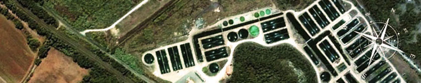
The National Aquaculture Sector Overview (NASO) maps collection consists of Google maps showing the location of aquaculture sites and their characteristics at an administrative level (state, province, district, etc.) and in some cases even at an individual farm level depending on the degree of aquaculture development and the resources available to complete data collection form, and the level of clearance provided by the country experts.[more...]
|
|
|
|
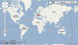
To explore the NASO map collection click on the map
|
Browse NASO fact sheets by country
|
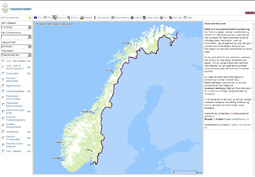
To view the country initiatives click on the image
|
|
|
|
|
|
|
|