Land Cover Mapping to support natural resources assessment and conflict mitigation strategies in South Sudan

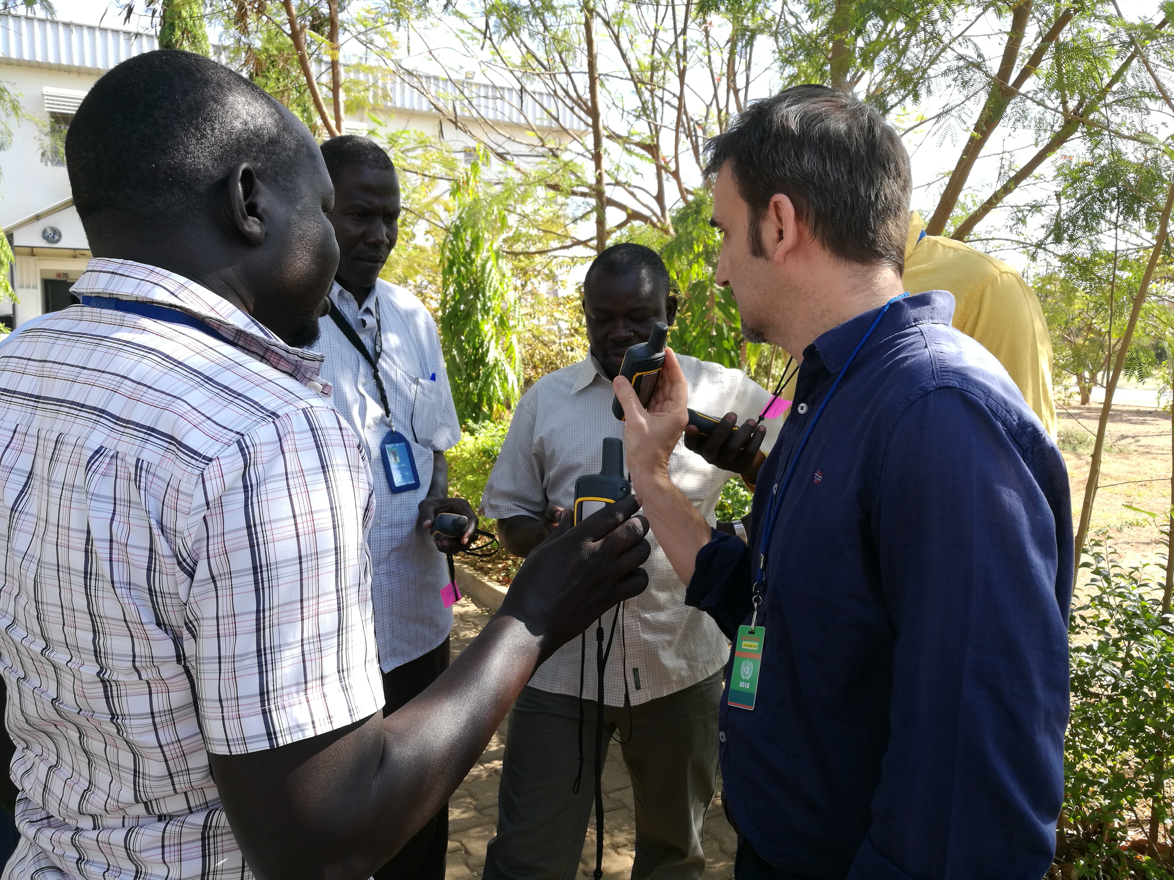
A workshop on “Land cover mapping to support natural resources assessment and conflict mitigation strategies in South Sudan” took place at Juba from 12 to 16 February.
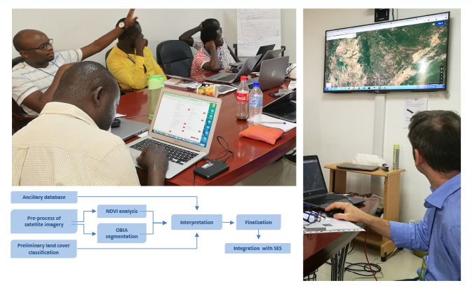
The training is part of a project, funded by the European Commission, and has been managed from the Geospatial Unit of FAO, with the multiple objectives to:
- Provide awareness to national experts on land cover mapping methodologies
- Discuss on land cover classification system and legend to adopt.
- Provide knowledge on data/metadata collection and identify data needs and gaps, particularly for targeted areas.
- Discuss and plan next steps of the project.
Trainers from CBDS - Climate, Biodiversity, Land & Water Department (CB), UNFAO were: Gianluca Franceschini (Technical coordinator and GIS/RS expert) and Agata Elia (GIS Expert).
More details in the Agenda, downloadable here
Complete info about the project here