Improved agriculture monitoring systems through Satellite Imagery for the Islamic Republic of Iran TCP/IRA/3603

Rome – A recent report on the first phase of the project ‘Improve agriculture monitoring systems through satellite imagery for the Islamic Republic of Iran’, reveals how the introduction of multi-temporal high-resolution satellite imagery means Iran’s Ministry of Agriculture Jahad (MAJ) can gather near-real time crop/field information that can be used for agricultural monitoring, evaluation, and planning.
“We are working with Iran using advanced geospatial technologies to support the development of techniques, as well as policy and investment conditions to achieve sustainable agricultural development under climate change, in Iran.” Said Douglas Muchoney, Senior Environment Officer and Head of FAO’s Geospatial Unit. He went on to explain how, “…more frequent and extreme climate events, such as floods, drought, and frost, are adversely affecting agricultural production in Iran and this needs a comprehensive, systematic and accurate agricultural monitoring system”.
The report presents current data collection practices used by Iran’s Ministry of Agriculture revealing, for example, the lack of timely and cost-effective procedures in place that also relied on old census data and sampling techniques. The report also looks in detail at the application of remote sensing in agricultural data collection and a previously implemented pilot project in the Hamedan Province.
 Improved skills on agriculture monitoring
through a study tour
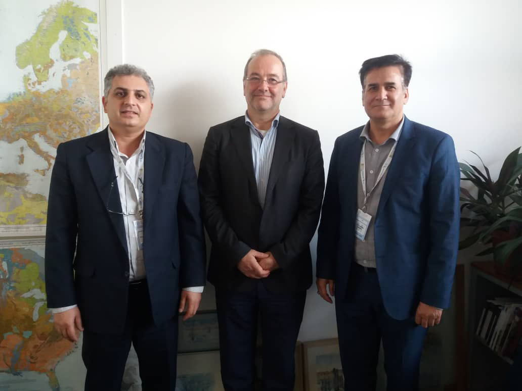
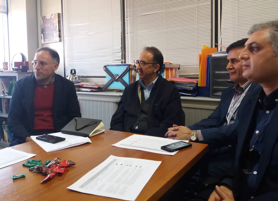
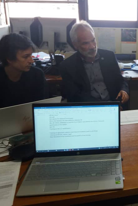
Under the project, FAO’s Geospatial Unit also organized a 1-week study tour in FAO headquarters for two delegations from Iran’s Ministry of Agriculture Jahad. Through similar ongoing projects in FAO, the participants had a chance to understand better how effective monitoring works in practice.
Meeting with experts from different FAO departments, the group had the chance to look at areas of work and tools including Aquastat, Land tenure and cadastral, Disaster Risk Reduction, National Forest Monitoring and Agro Ecological Zoning (AEZ). The study tour also focused on a training in how to use SEPAL and how to map paddy fields in Iran’s Mazandaran province using Sentinel 1 imagery.
The participants who took part in the tour included Mr Karim Ahmadi Someeh National Project Director (NPD) and Head of Information Technology and Communication Centre and Mr Keyvan Kashavarz, National Project Coordinator (NPC) and Deputy of Information and Communication Center in Remote Sensing and Geographic Information System affairs.
The tour was evidence of Iran’s commitment to strengthening and improving its agricultural monitoring system using advanced geospatial technologies. Actions were agreed to improve the quality of data and reporting:
- The procurement of 60 tablets for data collection,
- a Letter of Agreement with the University of Bologna to provide statistical support and strengthen capacities for agriculture monitoring; and
- updating the existing geoportal platform to include the results from the project so far.
“Effective agriculture monitoring systems in the Islamic Republic of Iran are starting to provide data that is fundamental for countries like ours who are striving to make informed decisions about solutions in land areas affected by climate change”, remarked Mr Keshavaraz during the visit.
Related links