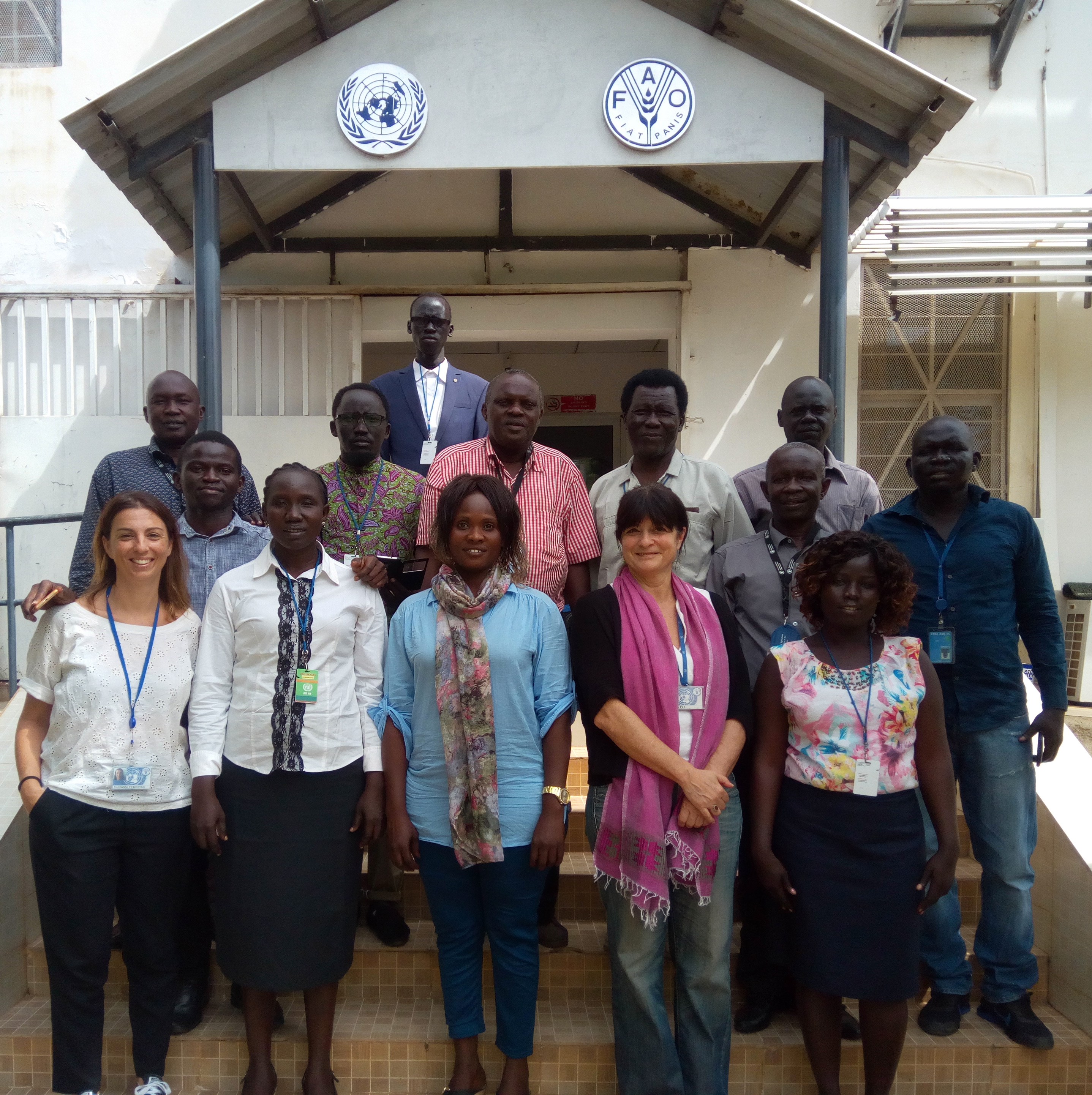
South Sudan experts build their capacities in land use planning

Experts from South Sudan increased their awareness on the land cover database that FAO is preparing and discussed about classification systems adopted suitable for their country adoption thanks to a workshop organized by the FAO Geospatial team in Juba, South Sudan from 28 October to 2 November.
The workshop focused on the production chain of the land cover database and Land Cover Meta Language (LCML) legend and was also a good opportunity to evaluate the mechanisms of revision of the database in collaboration with the country experts. Different national experts, GIS\Remote Sensing technicians and Natural Resource Management Officers coming from relevant ministries and institutions in particular the Ministry of Agriculture, Forestry, Cooperatives and Rural Development - Ministry of Environment and the National Bureau of Statistics attended the workshop and holding very productive discussions.
The experts highlighted the benefits they expect in a variety of applications concerning forestry, agriculture and management of natural resources e.g. analysis, plantation planning, census, rehabilitation and protection, location for cultivation planning, implementing the infrastructure, crop monitoring, agriculture practices, and definition of the areas of food insecure.
The development of an updated land cover dataset using high-resolution multi-temporal satellite imagery is considered an essential information baseline required to support land use planning, natural resource management and food security strategies. In particular, three projects will benefit of this output:
- Strengthening the Livelihoods Resilience of Pastoral and Agro-Pastoral Communities in South Sudan’s cross-border areas with Sudan, Ethiopia, Kenya and Uganda
- Strengthening the resilience of household to food insecurity in South Sudan
- Sustainable Agriculture for Economic Resilience
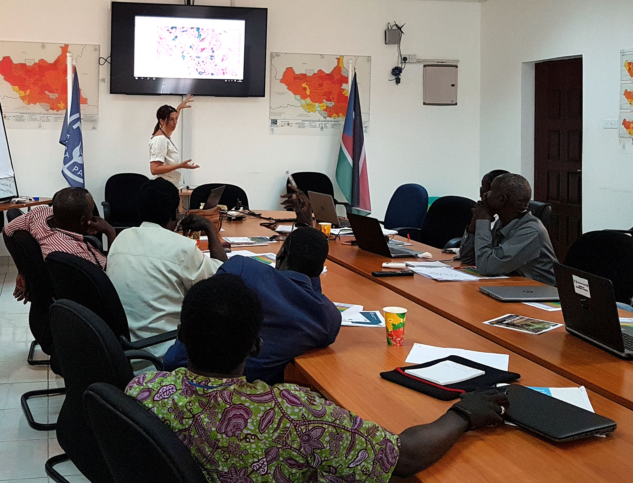
During the workshop, the methodology applied in the production chain was presented together with the different classes defined in the LCML legend. The legend and the land cover examples presented to the audience triggered productive discussions. Important feedback about the land cover characteristics from the country were discussed and critical modifications were introduced to refine the final list of classes. The final version will embed the suggestions and remarks from the national experts. National support is fundamental to provide validation of the dataset, share a common vision on possible applications and have an endorsement on the final product among national authorities and international organizations. Communication for technical and non-technical audience is key in this process.
Related links: