Global Land Cover Network (GLCN)

The Global Land Cover Network initiative was the result of a joint effort by FAO and UN Environment to respond to the need of international community for the availability of reliable and harmonized land cover information at a global level. The GLCN was developed in collaboration with the US-led Geographic Information for Sustainable Development (GISD) global partnership, which aims to increase the use of Earth observation data and geographic information technologies in sustainable development projects focusing on food security, sustainable agriculture, natural resources management, disasters mitigation and poverty alleviation.
The GLCN’s overall objective was to provide direction, methodology and guidance for harmonization of land cover mapping and monitoring projects at national, regional and global levels in order to achieve compatibility among their products through the promotion of LCCS as the new standard classification system. A complete package of applications and tools was developed, including: LCCS, MAD-CAT, ADG, GEOVIS, MAP and VEDAS.
GLCN activities were supported by "Topic Centres", which were incubators of the GLCN methodology, and carried out methodology development, networking, capacity building and served as international clearing house.
GLC-SHARE
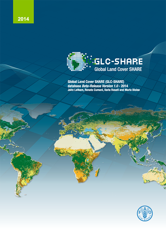 One of the products of the GLCN project was the Global Land Cover Share (GLC-SHARE), a database launched in 2014. Its objective was to collect the global land cover data under one roof for the first time, becoming the most-reliable global view of planetary land cover assembled to-date. It provided a set of eleven major thematic land cover layers resulting from a combination of best-available high resolution national, regional and/or sub-national land cover databases. Complete free and open access to the data and metadata products are available at FAO GeoNetwork
... More