土地资源规划工具箱
该类工具在土地评估过程中突出了生物自然属性(气候、土壤、地形、水等)及其相互作用。大多数情况下,主要基于生物自然属性的输出结果会引导用户选择合适的土地利用方案。土地适宜性和相似性分析是典型的例子。包括描述土地评价的原理、方法和准则的文件,以及基于特定用途、能力或潜力、肥力限制和管理、产量、生产力、物理和化学性质的不同的土壤分类工具。复杂或简化的作物生长和产量预测模型也属于这一类。
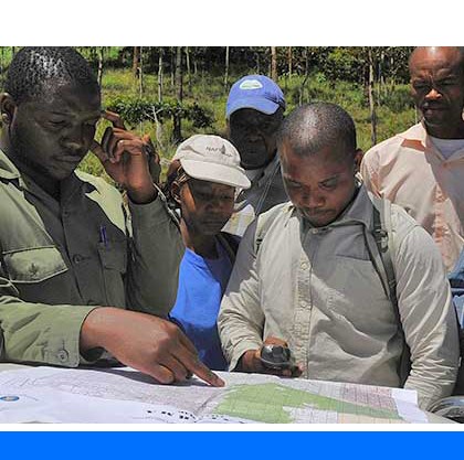
该类工具利用生物自然特征和社会经济条件作为输入信息,并通常包括参与式土地利用规划的原理、方式和方法,其总体目标是实现所有利益相关者互利共赢。
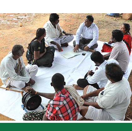
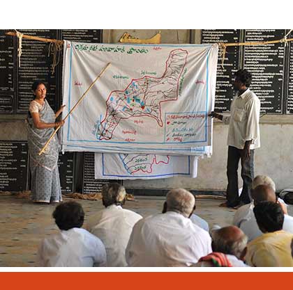
该类工具突出了土地利用规划所需要的社会和经济环境特征,包括参与决策的方式和方法。这些工具也可以考虑生物自然条件,但不作深度考虑。
该类包括可促进土地评价和土地利用规划的数据库,通过为这些过程提供输入信息而实现。这些数据库提供了多种地图和数据,包括土壤和地形特征、土地退化、土地覆盖、土地利用、气候数据(包括未来的预测)、作物和产量、粮食、农业、水资源、植物物种对特定环境的适应性/适宜性、关于贫穷、人口、职位和性别的社会经济数据和统计数据
该类工具并不产生直接用于土地评估和土地利用规划的结果。但它提供了各种类型的数据,可用于土地评价研究和作为土地利用规划的输入数据集。
Number of records: 35

The Framework for Land Evaluation (FLE) is a set of principles and concepts, on the basis of which local, national or regional land suitability evaluation systems can be constructed. The land suitability evaluation system is based on the assumption that land can be ranked into distinctly different categories, each one...
Type: Framework/Guidelines
Scale: National, Sub-national/Province/District, Watershed/Basin/Landscape
Thematic areas: Land evaluation
User Category: 技术专家, 科学顾问, 政策制定者
The Fertility Capability Classification is a technical system of grouping soils according to the kind of problems they present for agronomic management of their chemical and physical properties. Basically it offers a method for translating arcane soil classification labels into soil property characteristics relevant for management. FCC emphasizes quantifiable topsoil...
Type: Documentation/Manuals
Scale: Global, Regional, National, Sub-national/Province/District, Locality/Farm/Site, Watershed/Basin/Landscape
Thematic areas: Soils - distribution and properties
User Category: 技术专家
ECOCROP is a software tool that identifies 2568 plant species for given environments and uses (food, fodder, energy, erosion control, industrial purposes). It also contains a library of crop environmental requirements. ECOCROP was designed with relatively basic crop environmental requirements information. This design was chosen because the primary object of...
Type: Data
Scale: Global, Regional
Thematic areas: Crops - suitability
User Category: 技术专家, 利益相关者
ALES (Automated Land Evaluation System) is a computer program that allows land evaluators to build their own expert systems to evaluate land according to the FAO Framework for Land Evaluation of 1976. The entities evaluated by ALES are map units, which may be defined either broadly (as e.g. in reconnaissance...
Type: Framework/Guidelines,Software
Scale: Locality/Farm/Site, Watershed/Basin/Landscape
Thematic areas: Land evaluation
User Category: 技术专家, 模型建立者
This publication contains guidelines on the use of FAO’s agro-ecological zoning (AEZ) methodology. It describes concepts, terminology, procedures as well as a step-wise guide to carrying out an AEZ study, including simple and advanced applications, drawing examples from FAO’s experience in various countries. These guidelines are intended to assist land...
Type: Framework/Guidelines
Scale: Regional, National, Sub-national/Province/District
Thematic areas: Crops - suitability, Land evaluation
User Category: 技术专家, 科学顾问