土地资源规划工具箱
该类工具在土地评估过程中突出了生物自然属性(气候、土壤、地形、水等)及其相互作用。大多数情况下,主要基于生物自然属性的输出结果会引导用户选择合适的土地利用方案。土地适宜性和相似性分析是典型的例子。包括描述土地评价的原理、方法和准则的文件,以及基于特定用途、能力或潜力、肥力限制和管理、产量、生产力、物理和化学性质的不同的土壤分类工具。复杂或简化的作物生长和产量预测模型也属于这一类。
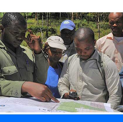
该类工具利用生物自然特征和社会经济条件作为输入信息,并通常包括参与式土地利用规划的原理、方式和方法,其总体目标是实现所有利益相关者互利共赢。

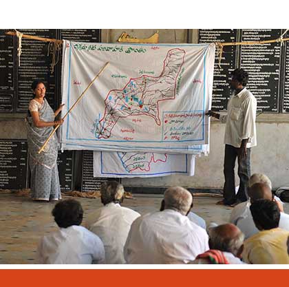
该类工具突出了土地利用规划所需要的社会和经济环境特征,包括参与决策的方式和方法。这些工具也可以考虑生物自然条件,但不作深度考虑。

该类包括可促进土地评价和土地利用规划的数据库,通过为这些过程提供输入信息而实现。这些数据库提供了多种地图和数据,包括土壤和地形特征、土地退化、土地覆盖、土地利用、气候数据(包括未来的预测)、作物和产量、粮食、农业、水资源、植物物种对特定环境的适应性/适宜性、关于贫穷、人口、职位和性别的社会经济数据和统计数据
该类工具并不产生直接用于土地评估和土地利用规划的结果。但它提供了各种类型的数据,可用于土地评价研究和作为土地利用规划的输入数据集。
Number of records: 44

The SEDLAC web site contains statistics on poverty and other distributional and social variables from all Latin American and several Caribbean (LAC) countries. All statistics are computed from microdata from major household surveys carried out in these countries. Statistics are updated periodically.
One of SEDLAC’s objectives is to...
Type: Data,Questionnaire/Survey
Scale: National
Thematic areas: Social - statistics
User Category: 技术专家, 科学顾问, 政策制定者
The LAC Drought Atlas contains digital drought maps for the countries of Latin America and the Caribbean. It is based on a historical drought frequency analysis through regional frequency analysis using L-moments (RFA-L).
The Atlas provides maps and site-specific estimations of maximum and minimum...
Type: Maps/GIS
Scale: Regional, National, Sub-national/Province/District
Thematic areas: Climate
User Category: 技术专家, 科学顾问
The Gender and Land Rights Database (GLRD) is a FAO-developed dissemination platform to highlight the major political, legal and cultural factors that influence the realisation of women’s land rights throughout the world. It provides information about gender and land issues through 84 country profiles, land tenure statistics disaggregated by...
Type: Data
Scale: National
Thematic areas: Land/water rights, Social - statistics
User Category: 政策制定者
The Soil and Landscape Grid of Australia provides access to high-resolution soil and landscape attributes.
The soil attribute products consist of (1) nation-wide soil attribute maps which were generated by combining (2) Australia-wide 3D soil attribute maps with (3) regional maps for parts of Australia. The generation of...
Type: Maps/GIS
Scale: National
Thematic areas: Soils - distribution and properties, Topography
User Category: 技术专家, 模型建立者
The Global Lakes and Wetlands Database(GLWD) has been created on the basis of existing maps, data and information, such as the Digital Chart of the World, World Conservation Monitoring Centre (WCMC) and others. It focuses in three coordinated levels on (1) large lakes...
Type: Maps/GIS
Scale: Global, Regional
Thematic areas: Land use/cover
User Category: 技术专家
The Geospatial Data Gateway (GDG) of the United States Department of Agriculture- National Resources Conservation Service provides access to a map library of over 100 high-resolution vector and raster layers in the USDA Geospatial Data Warehouse. It is the one-stop source for environmental and natural resources...
Type: Maps/GIS
Scale: National, Sub-national/Province/District, Locality/Farm/Site, Watershed/Basin/Landscape
Thematic areas: Cadaster, Land use/cover, Population - distribution, Remote sensing, Soils - distribution and properties, Topography
User Category: 技术专家, 科学顾问, 利益相关者
The global map of urban extent has a spatial resolution of 15 arc-seconds (about 500 m) and was obtained from MODIS imagery through a supervised decision tree classification algorithm using region-specific parameters. It provides a consistent and seamless map of urban, built-up and settled areas for...
Type: Maps/GIS
Scale: Global, Regional
Thematic areas: Land use/cover
User Category: 技术专家
WorldClim is a set of global climate layers (gridded climate data in GeoTiff format) that can be used for mapping and spatial modeling. WordlClim version 2 contains average monthly climatic gridded data for the period 1970-2000 with different spatial resolutions, from 30 seconds...
Type: Maps/GIS
Scale: Global, Regional, National, Sub-national/Province/District, Watershed/Basin/Landscape
Thematic areas: Climate
User Category: 技术专家, 模型建立者
The Shuttle Radar Topography Mission (SRTM) database contains global elevation data with 3 arc-second (90 m) spatial resolution. The data are made available through the CGIAR Consortium for Spatial Information (CGIAR-CSI) website in mosaiced 5 deg x 5 deg tiles in both ArcInfo ASCII
Type: Maps/GIS
Scale: Locality/Farm/Site, Watershed/Basin/Landscape
Thematic areas: Topography
User Category: 技术专家, 模型建立者
Global Forest Watch (GFW) contains the following forest-related datasets: (1) forest change data (changes within forests at different resolutions, frequencies, and geographic extents, including tree cover loss and gain data, near real-time forest alerts, and active fire data); (2) forest cover data ( types of forest cover at different...
Type: Maps/GIS
Scale: Global, National
Thematic areas: Land use/cover, Remote sensing
User Category: 技术专家, 科学顾问