土地资源规划工具箱
该类工具在土地评估过程中突出了生物自然属性(气候、土壤、地形、水等)及其相互作用。大多数情况下,主要基于生物自然属性的输出结果会引导用户选择合适的土地利用方案。土地适宜性和相似性分析是典型的例子。包括描述土地评价的原理、方法和准则的文件,以及基于特定用途、能力或潜力、肥力限制和管理、产量、生产力、物理和化学性质的不同的土壤分类工具。复杂或简化的作物生长和产量预测模型也属于这一类。
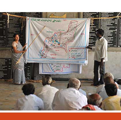
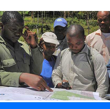
该类工具利用生物自然特征和社会经济条件作为输入信息,并通常包括参与式土地利用规划的原理、方式和方法,其总体目标是实现所有利益相关者互利共赢。
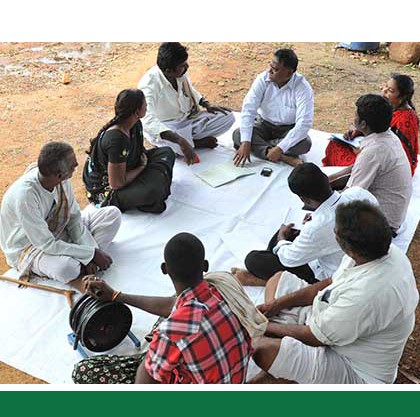
该类工具突出了土地利用规划所需要的社会和经济环境特征,包括参与决策的方式和方法。这些工具也可以考虑生物自然条件,但不作深度考虑。

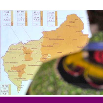
该类包括可促进土地评价和土地利用规划的数据库,通过为这些过程提供输入信息而实现。这些数据库提供了多种地图和数据,包括土壤和地形特征、土地退化、土地覆盖、土地利用、气候数据(包括未来的预测)、作物和产量、粮食、农业、水资源、植物物种对特定环境的适应性/适宜性、关于贫穷、人口、职位和性别的社会经济数据和统计数据
该类工具并不产生直接用于土地评估和土地利用规划的结果。但它提供了各种类型的数据,可用于土地评价研究和作为土地利用规划的输入数据集。
Number of records: 35
The Mediterranean Land Evaluation Information System (Micro-LEIS) is an agro-ecological decision support system that contains a set of useful tools for decision-making in a wide range of agro-ecological schemes. The design philosophy follows a toolkit approach, integrating many software tools: databases, statistics, expert systems, neural networks, Web and GIS...
Type: Model
Scale: Sub-national/Province/District, Watershed/Basin/Landscape
Thematic areas: Land degradation, Land evaluation
User Category: 技术专家, 科学顾问
This report outlines a procedure for rating the suitability of land for production of spring-seeded small grains (and hardy oilseeds) in Canada.
The system is interpretive and based on limitations for crop production. The framework of the system is suitable for all crops but specific rating factors are developed,...
Type: Documentation/Manuals
Scale: Locality/Farm/Site, Watershed/Basin/Landscape
Thematic areas: Land evaluation
User Category: 技术专家, 科学顾问, 利益相关者
The Voluntary Guidelines for Sustainable Soil Management (VGSSM) were developed through an inclusive process within the framework of the Global Soil Partnership (GSP). The guidelines provide technical recommendations on how sustainable soil management can be achieved. The VGSSM are of voluntary nature and are...
Type: Framework/Guidelines
Scale: Locality/Farm/Site, Watershed/Basin/Landscape
Thematic areas: Soils - management and conservation
User Category: 政策制定者, 利益相关者
The Land Potential Knowledge System (LandPKS) is a mobile phone application that helps land managers make more sustainable land management decisions. It is largely funded by USAID and implemented by the United States Department of Agriculture. LandPKS is designed to help offset the major challenges land resource managers face in...
Type: Crowdsourcing,Data
Scale: Locality/Farm/Site
Thematic areas: Land use/cover, Soils - distribution and properties
User Category: 技术专家, 利益相关者
GRASS is a standard for sustainable rangeland management developed through experiences gained in a collaborative project involving The Nature Conservancy (TNC), Ovis XXI, rangeland scientists and grazing consultants, and a network of ranchers in the Argentinian and Chilean Patagonia. Patagonia’s 400 million acres of temperate...
Type: Documentation/Manuals
Scale: Locality/Farm/Site
Thematic areas: Agriculture - productivity
User Category: 利益相关者
Global Agroecological Zones (GAEZ) is both a methodology for assessing global land resources and a spatial database. The methodology has been jointly developed over the past 30 years by FAO and the International Institute for Applied Systems Analysis (IIASA) and is explained in the Model Documentation....
Type: Data
Scale: Global, Regional, National, Sub-national/Province/District
Thematic areas: Climate, Crops - suitability, Land use/cover, Soils - distribution and properties
User Category: 技术专家, 科学顾问
The Storie Index is a semi-quantitative method for evaluating potential soil productivity by multiplying ratings for individual soil attributes. The rated attributes are the soil profile, essentially the features of the subsurface layers (factor A), the texture of the surface soil (factor B), the slope (factor C), and conditions of...
Type: Documentation/Manuals
Scale: Locality/Farm/Site, Watershed/Basin/Landscape
Thematic areas: Land evaluation
User Category: 技术专家, 利益相关者
Soil potential ratings (SPR) are classes that indicate the relative quality of a soil for a particular use as compared with those of other soils in a given area. The following are considered in soil potential ratings: yield or performance level, the relative cost of applying modern technology to minimize...
Type: Framework/Guidelines
Scale: Sub-national/Province/District, Locality/Farm/Site, Watershed/Basin/Landscape
Thematic areas: Soils - distribution and properties
User Category: 技术专家, 利益相关者
LESA is an analytical tool, consisting of two components, Land Evaluation (LE) and Site Assessment (SA), designed to provide systematic and objective procedures to rate and rank sites for agricultural importance. LESA provides a national model with consistent terminology and a set of classification procedures using soil-based and other site...
Type: Documentation/Manuals
Scale: Locality/Farm/Site, Watershed/Basin/Landscape
Thematic areas: Land evaluation, Soils - distribution and properties
User Category: 技术专家, 利益相关者
This Discussion Paper responds to a perceived need to update the FAO 1976 Framework for Land Evaluation. An update was considered necessary to reflect current concerns related to climate change, biodiversity conservation and land degradation, as well as to address issues of multi-functionality of land, sustainability of use and...
Type: Framework/Guidelines
Scale: National, Sub-national/Province/District, Watershed/Basin/Landscape
Thematic areas: Land evaluation
User Category: 技术专家, 科学顾问