土地资源规划工具箱
该类工具在土地评估过程中突出了生物自然属性(气候、土壤、地形、水等)及其相互作用。大多数情况下,主要基于生物自然属性的输出结果会引导用户选择合适的土地利用方案。土地适宜性和相似性分析是典型的例子。包括描述土地评价的原理、方法和准则的文件,以及基于特定用途、能力或潜力、肥力限制和管理、产量、生产力、物理和化学性质的不同的土壤分类工具。复杂或简化的作物生长和产量预测模型也属于这一类。
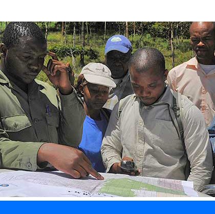
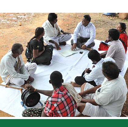
该类工具利用生物自然特征和社会经济条件作为输入信息,并通常包括参与式土地利用规划的原理、方式和方法,其总体目标是实现所有利益相关者互利共赢。
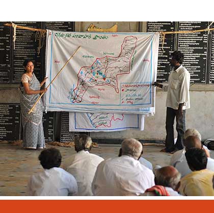
该类工具突出了土地利用规划所需要的社会和经济环境特征,包括参与决策的方式和方法。这些工具也可以考虑生物自然条件,但不作深度考虑。

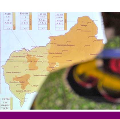
该类包括可促进土地评价和土地利用规划的数据库,通过为这些过程提供输入信息而实现。这些数据库提供了多种地图和数据,包括土壤和地形特征、土地退化、土地覆盖、土地利用、气候数据(包括未来的预测)、作物和产量、粮食、农业、水资源、植物物种对特定环境的适应性/适宜性、关于贫穷、人口、职位和性别的社会经济数据和统计数据
该类工具并不产生直接用于土地评估和土地利用规划的结果。但它提供了各种类型的数据,可用于土地评价研究和作为土地利用规划的输入数据集。
Number of records: 35

CropSyst is a is a user-friendly, conceptually simple but sound multi-year multi-crop simulation model with daily time step. The model simulates the soil water budget, soil-plant nitrogen budget, crop canopy and root growth, dry matter production, yield, residue production and decomposition, and erosion. Management options include: cultivar...
Type: Model
Scale: Locality/Farm/Site
Thematic areas: Crops - productivity
User Category: 技术专家, 科学顾问, 模型建立者
The Global Soil Erosion Modelling platform (GloSEM) provides a global soil erosion map (in Geotiff format) at 25 km spatial resolution for 2001 and 2012. The map is a resampled version of an original 250 m dataset. The erosion data...
Type: Maps/GIS
Scale: Global, Regional, National, Sub-national/Province/District
Thematic areas: Land degradation
User Category: 技术专家, 科学顾问
The Revised Universal Soil Loss Equation (RUSLE) is an upgrade of USLE that is land use independent. It can be used on cropland, disturbed forestland, rangeland, construction sites, mined land, reclaimed land, military training grounds, landfills, waste disposal sites, and other lands where rainfall and its associated overland...
Type: Model
Scale: Locality/Farm/Site, Watershed/Basin/Landscape
Thematic areas: Land degradation, Soils - management and conservation
User Category: 技术专家, 科学顾问, 模型建立者
The Universal Soil Loss Equation (USLE) is a powerful tool that is widely used by soil conservationists in the United States and many other countries.
The USLE was developed by W. H. Wischmeier, D. D. Smith, and others with the U.S. Department of Agriculture (USDA),...
Type: Model
Scale: Locality/Farm/Site
Thematic areas: Land degradation, Soils - management and conservation
User Category: 技术专家, 科学顾问, 模型建立者
The main goal of these guidelines is to provide a methodology for implementing in rainfed agricultural systems the key principles of the Framework for Land Evaluation (FLE): (1) matching the requirements of the land use against the qualities...
Type: Framework/Guidelines
Scale: National, Sub-national/Province/District, Watershed/Basin/Landscape
Thematic areas: Land evaluation
User Category: 技术专家, 科学顾问
The main goal of these guidelines is to provide a methodology for implementing in irrigated agricultural systems the key principles of the Framework for Land Evaluation (FLE): (1) matching the requirements of the land use against the qualities...
Type: Framework/Guidelines
Scale: National, Sub-national/Province/District, Watershed/Basin/Landscape
Thematic areas: Land evaluation
User Category: 技术专家, 科学顾问
The main goal of these guidelines is to provide a methodology for implementing in agricultural systems based on extensive grazing the key principles of the Framework for Land Evaluation (FLE): (1) matching the requirements of the land use...
Type: Framework/Guidelines
Scale: National, Sub-national/Province/District, Watershed/Basin/Landscape
Thematic areas: Land evaluation
User Category: 技术专家, 科学顾问
The main goal of these guidelines is to provide procedures for conducting land evaluation with particular reference to forestry. The purpose of land evaluation for forestry is to assist decision-making in respect of which land to keep under forests, and choosing between different types of forestry and...
Type: Framework/Guidelines
Scale: National, Sub-national/Province/District, Watershed/Basin/Landscape
Thematic areas: Land evaluation
User Category: 技术专家, 科学顾问
The World Food Studies simulation model (WOFOST is a mechanistic model for the quantitative analysis of the growth and production...
Type: Model
Scale: Locality/Farm/Site, Watershed/Basin/Landscape
Thematic areas: Crops - productivity
User Category: 技术专家, 模型建立者
Type: Educational materials,Maps/GIS
Scale: National, Sub-national/Province/District, Watershed/Basin/Landscape
Thematic areas: Land evaluation
User Category: 技术专家