 Indicator 15.4.2 – (a) Mountain Green Cover Index; and (b) Proportion of Degraded Mountain Area
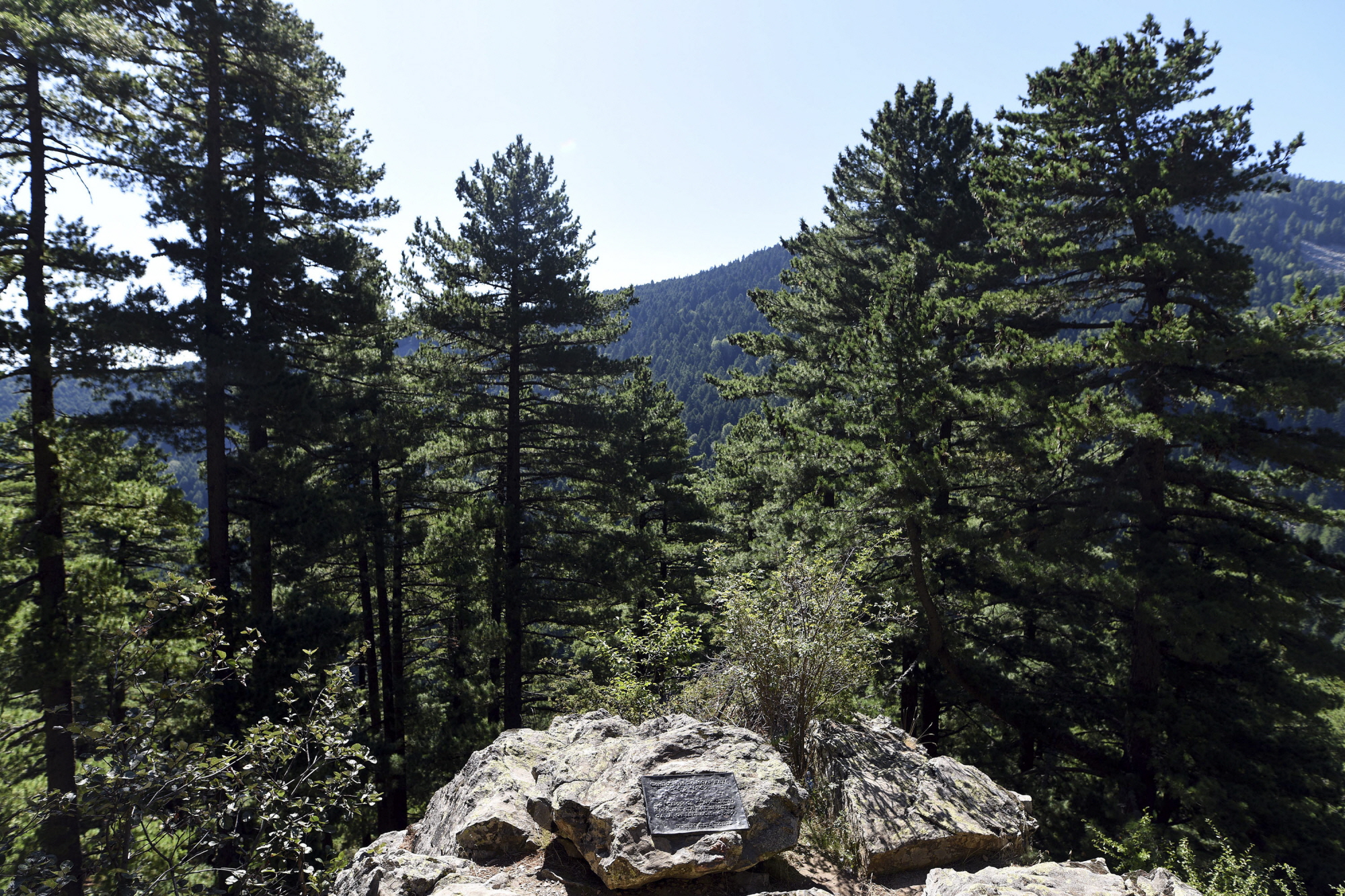
The Mountain Green Cover Index (MGCI) (Indicator 15.4.2.a) measures changes in the area of green vegetation in mountain areas (forest, shrubs and pasture land, and cropland), while the Proportion of degraded mountain land (Indicator 15.4.2.b) monitors the extent of degraded mountain land as a result of land cover change of a given country and for given reporting year. This information will help identify the status of conservation of mountain environments in order to measure progress towards SDG Target 15.4.
Target 15.4
By 2030, ensure the conservation of mountain ecosystems, including their biodiversity, in order to enhance their capacity to provide benefits that are essential for sustainable development.
Indicator 15.4.2: Progress Assessment
Impact
This indicator helps to ensure that mountains are efficiently managed, and a better balance is struck between conservation and sustainable use of natural resources.
Key results
The proportion of degraded mountain land stands at 1.6 percent of the world’s mountain area
Mountain green cover has remained roughly stable, at about 78 percent over the 2000–2018 period, with a non-significant decrease (0.05 percent) since 2015. Disaggregation of mountainous areas by land cover and geographical region provides additional insights, allowing to visualize how biophysical characteristics and historic and recent land uses shape their landscapes.
Available global data indicate that the area where detrimental changes in land cover occurred during the 2000–2018 period represents approximately 1.6 percent of the world’s total mountain area. Disaggregated data show that the mountain belts most affected by detrimental land cover changes were the alpine (1.8 percent) and the montane (1.7 percent) belts, while nival areas were the least affected (0.08 percent). Disaggregation by both SDG regions and bioclimatic belts show that the areas with the highest proportion of degraded mountain land are the alpine areas of Europe and Northern America (2.3 percent), followed by the montane areas of Central and Southern Asia (2.2 percent) and the lower mountain belts of Eastern and Southern Asia (2.1 percent).
Highlights

Multimedia
SDG 15 - Indicators of sustainable forests and mountains
01/01/2019
An overview of SDG indicators 15.1.1, 15.2.1, 15.4.2, measuring forest area, mountain vegetation cover, and sustainable management...
Tracking progress on food and agriculture-related SDG indicators (2022)
01/09/2022
Tracking progress on food and agriculture-related SDG indicators offers detailed analyses and trends on selected indicators for which...
Capacity development
7/ 2
2023
[FAO x Data Strategy] How to Use Earth Observation Data for Agricultural Statistics & SDG Monitoring
Virtual Event, 07/02/2023
FAO, in collaboration with the Data Strategy, hosted a webinar on the use of Earth Observation data for the production of official agricultural statistics and SDG indicators.
Collecting data and predicting real time crop area and yield is difficult and expensive. FAO, through the EOSTAT project, is helping countries in overcoming this challenge and building their technical c...
31/ 10
2022
The impact of EO for the 2030 Agenda | GEO Week
Virtual Event, 31/10/2022
Seven years into the implementation of the 2030 Agenda for Sustainable Development, the Group on Earth Observations (GEO) and its dedicated SDG initiative, Earth Observations for Sustainable Development Goals (EO4SDG), working with partners globally and locally, have laid the foundation for governments and or...

Methodology
Tier: I
Data
Related publications
- Using Standardized Time Series Land Cover Maps to Monitor the SDG Indicator “Mountain Green Cover Index” and Assess Its Sensitivity to Vegetation Dynamics
- Mapping the vulnerability of mountain peoples to food insecurity
- Keeping an eye on SDG 15
Related link
External links
Focal point
Contact