VME Tools
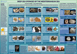
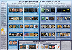
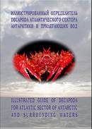
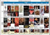
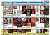
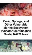
The FAO International Guidelines for the Management of Deep-sea Fisheries in the High Seas provide recommendations or guidance for the identification of VMEs, and list potentially vulnerable species groups, communities and habitats. Moreover, they specifically recommend the development of identification guides for use by non-specialist technical staff at sea to assist in the rapid and efficient classification of VME taxa, which can often be confused and difficult to identify. In this direction, FAO and RFMO/As have developed tools for the identification of VMEs and taxonomic guides essential for the reliable identification of VME indicators by observers. The following list includes these tools. | |
| |
|---|---|
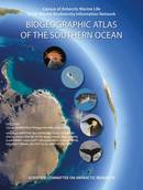
Broyer, C. de. & Koubbi, P. (eds). 2014. The Biogeographic Atlas of the Southern Oceans. SCAR. | |
CCAMLR. 2011. Scientific Observers Manual. [English, French, Russian and Spanish]
| |
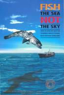
CCAMLR. (undated). Fish the Sea not the Sky. [English, French, Russian, and Spanish] | |
SEAFO. 2009. Sea turtle identification. Scientific Committee. 31 – 33pp.
| |
Beazley, L. et al. 2018. Predicted distribution of the glass sponge Vazella pourtalesi on the Scotian Shelf and its persistence in the face of climatic variability. PLoS ONE 13(10): e0205505. doi: https://doi.org/10.1371/journal.pone.0205505 Hawkes, N. et al. 2018. Glass sponge grounds on the Scotian Shelf and their associated biodiversity. Mar Ecol Prog Ser 614:91-109. doi: https://doi.org/10.3354/meps12903 Thompson, T. & Fuller, S. Technical measures and environmental risk assessments for deep-sea sponge conservation. FAO, Rome https://www.fao.org/documents/card/en/c/cb4878en Kenchington, E. et al. 2019. Connectivity modelling of areas closed to protect vulnerable marine ecosystems in the northwest Atlantic. Deep Sea Research Part I: Oceanographic Research Papers, 143. doi: https://doi.org/10.1016/j.dsr.2018.11.007 Kenchington, E., Callery, O., Davidson, F., Grehan, A., Morato, T., Appiott, J., Davis, A. et al. 2019. Use of Species Distribution Modeling in the Deep Sea. Canadian Technical Report of Fisheries and Aquatic Sciences 3296. doi: https://doi.org/10.5281/zenodo.2583828 Morato, T. et al. 2018. A Multi Criteria Assessment Method for Identifying Vulnerable Marine Ecosystems in the North-East Atlantic. Front. Mar. Sci. 5:460. doi: https://doi.org/10.3389/fmars.2018.00460 Morato, T., González-Irusta, J.-M., Dominguez-Carrió, C., Wei, C.-L., Davies, A., Sweetman, A. K., et al.2020. Climate‐induced changes in the suitable habitat of cold‐water corals and commercially important deep‐sea fishes in the North Atlantic. Global Change Biology, 26(4), 2181–2202. doi: https://doi.org/10.1111/gcb.14996 Murillo, F.J., Kenchington, E., Koen-Alonso, M., Gijarro, J., Kenchington, T.J., Sacau, M., Beazley, L. & Rapp, H.T. 2020 Mapping benthic ecological diversity and interactions with bottom-contact fishing on the Flemish Cap (northwest Atlantic) Ecological Indicators. doi: https://doi.org/10.1016/j.ecolind.2020.106135 Ottaviani, D. 2020. Economic valuation of ecosystem services provided by deep-sea sponges. FAO Fisheries and Aquaculture Circular No. 1217. Rome. FAO. https://doi.org/10.4060/cb2331en Pham, C.K., Murillo, F.J., Lirette, C. et al. 2019. Removal of deep-sea sponges by bottom trawling in the Flemish Cap area: conservation, ecology and economic assessment. Sci. Rep. 9, 15843. doi: https://doi.org/10.1038/s41598-019-52250-1 Ramiro-Sánchez, B. et al. 2019. Characterization and Mapping of a Deep-Sea Sponge Ground on the Tropic Seamount (Northeast Tropical Atlantic): Implications for Spatial Management in the High Seas. Front. Mar. Sci. 6:278. doi: https://doi.org/10.3389/fmars.2019.00278 Wudrick, A., Beazley, L., Culwick, T., Goodwin, C, Cárdenas, P., Xavier, J. & Kenchington, E. 2020. A Pictorial Guide to the Epibenthic Megafauna of Orphan Knoll (northwest Atlantic) Identified from In Situ Benthic Video Footage. Canadian Technical Report of Fisheries and Aquatic Sciences 3375. https://waves-vagues.dfo-mpo.gc.ca/Library/40871757.pdf | |
Download the coordinates of measures (as shapefiles) | ||
|---|---|---|
VME closed areas | Bottom fishing areas | Other access regulated areas |


