Assessment of deforestation and forest degradation and related direct drivers using SEPAL
The Central African Forest Initiative (CAFI) and the Food and Agriculture Organization of the United Nations (FAO) are working on the development of a standardized methodology to assess drivers of deforestation and forest degradation, piloting in 6 countries in Central Africa: Cameroon, Central African Republic, Equatorial Guinea, Republic of Congo, Democratic Republic of Congo, Gabon.
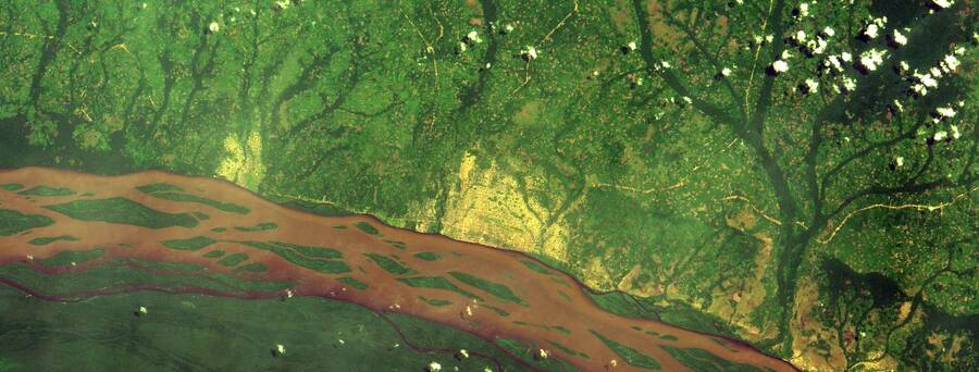
Deforestation and forest degradation are complex transboundary processes with many direct as well as underlying causes. A good understanding of why and where forest disturbances occur is instrumental for the development of targeted policies and actions aiming to reduce the loss of forests and the associated carbon emissions.
However, the lack of updated data reflecting the recent trends on tree cover loss and gaps in technical capacities for managing and processing satellite images, make reaching a consensus on the main direct drivers and agents of deforestation and forest degradation in Central Africa challenging.
The six CAFI countries will be supported in the use of cutting-edge cloud-computing and open-source tools to map disturbances and quantify direct drivers of deforestation and forest degradation in the region.
The project is being implemented in close collaboration with national and regional forestry institutions and benefit from the technical expertise of a wide range of partners, such as the Congo Basin Forest Partnership Scientific and Academic College, the Joint Research Centre of the European Commission, l’Observatoire des Forêts d’Afrique Centrale of COMIFAC (OFAC), the Rainforest Foundation United Kingdom, Réseau de Recherche sur les Forêts d’Afrique Centrale, the Wildlife Conservation Society, the World Resources Institute, Silvacarbon and the World Wide Fund for Nature.
"The project will build on a collaborative approach, in which national experts, global research institutes and civil society will work together and join resources and data to provide technical evidence and reach a common view on the direct drivers of forest disturbances," says Astrid Agostini, REDD+/National Forest Monitoring Cluster Coordinator.
Academia and civil society will be actively involved at all stages of the assessment design and will play a significant role in conducting the spatial and historical analysis of direct drivers, utilising data on land cover and land use activities such as commercial logging, mining, agribusiness, infrastructures but also protected areas or community forestry.
A transboundary approach to conserving Central African forests
Central Africa is home to the second largest tropical rainforest in the world and, although its forests are physically located within the territories of several sovereign states, their environmental role extends far beyond these borders. Covering 240 million ha of land, Central African forests play a crucial role in combatting climate change at a global level, as they represent a carbon sink equal to 6 years of global greenhouse gas emissions.
However, Central African forests are under increasing pressure from various drivers of deforestation. Among them are agricultural expansion, mineral extraction, infrastructure development, commercial logging as well as charcoal and biofuel production. A better understanding of these drivers at the regional level can help countries consolidate their efforts towards reducing and reversing forest loss.
The CAFI initiative is a joint collaboration between UNDP, FAO, the World Bank, six Central African countries and a coalition of donors, including Norway, France, Germany, Korea and the United Kingdom that aims to support governments in the region as they implement reforms and enhance investments to address such challenges as poverty, food insecurity and climate change. The project will support the initiative to use a data-driven approach to informing CAFI priorities and developing investment frameworks to support the sustainable use and conservation of their forest resources.
Open data and participation
In recent years, a wealth of newly accessible public datasets and satellite imagery from USGS, EU Copernicus and Planet, together with the exponential increase in the number of online tools and mobile applications available to use and process this data (OpenForis) have had a significant positive impact on the way land cover changes are monitored.
The project will focus on capacity building to produce a robust and transparent methodology for monitoring deforestation and degradation and provide a common basis to support land use planning. This will be enabled by in-country workshops, and regular, regional online webinars open to the public.