Generic approach to land-use planning
While there is no single blueprint for land-use planning, a generic framework can be used as a guide for the process and adapted to suit circumstances. Such a framework is shown in the table.
Generic steps and activities for land-use planning
Generic steps and activities for land-use planning
Step | Activities |
Initial engagement | Identify key stakeholders and stakeholder groups with an interest in the land-use planning exercise and its outcomes |
Background information | Gather and document biophysical, economic and social information of relevance to the land-use planning exercise, as well as policy and legal material |
Planning team | Establish a planning team containing representatives of all key stakeholder groups Agree on roles and responsibilities in the planning team |
Areas of planning interest | Identify and catalogue the current and proposed future uses of the land Identify current and potential conflicts associated with actual or potential uses |
Terms of reference for land-use plan | Negotiate the objectives of the land-use plan Agree on the process to guide the development of the land-use plan (including conflict resolution) |
Draft land-use plan | Negotiate and agree on land-use allocations (using participatory multistakeholder approaches) and permitted uses, and review requirements |
Final land-use plan | Obtain approval of the land-use plan from relevant authorities and stakeholder representatives |
Review and amendments | Work together with key stakeholders to review and amend the land-use plan over time |
A central part of land-use planning in forest landscapes is reaching agreement on those areas to be managed under differing regimes. These might include:
- areas for commercial timber harvesting (see Forest inventory);
- areas of high conservation value to be included in a protected-area network or afforded other special management status (see Wildlife management and Forest protected areas);
- areas that have special significance for indigenous peoples and other local communities (see Cultural and spiritual values of forests);
- areas that are part of local agricultural or agroforestry systems (see Trees outside forests);
- parts of the landscape, such as highly erodible soil types or riparian zones, that need special management treatment (see Forest protected areas, Forests and water and Watershed management);
- areas that should be managed for recreation values (see Forest recreation);
- areas that need restoration or rehabilitation (see Forest restoration and rehabilitation);
- areas that require special management because of climate change (see Climate change adaptation and mitigation).
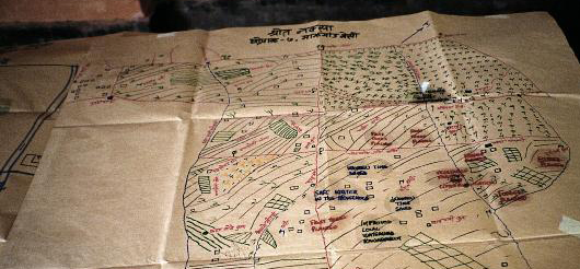
Information collection and display
Information collection and display
Land-use planning requires the application of various tools and techniques to collect and display data and information. The collection of basic data is important as a prelude to deciding on land-use allocations. Multipurpose forest inventories and forest monitoring systems can provide the necessary data to support decision-making and land-use planning. Geographic information systems (GIS) are a useful tool for capturing, storing, managing and presenting a wide range of information, such as socioeconomic data, the geographic distribution of major landforms, dominant land cover, and inventories of natural resources.
Multistakeholder processes and integrating socioeconomic aspects into planning
Multistakeholder processes and integrating socioeconomic aspects into planning
In many countries, government decentralization and the devolution of decision-making over forest allocation and use have led to increased local government and community control over forests. Combined with growing public interest in decisions on forest use, decentralization and devolution have made the engagement of a wide range of stakeholders an integral and essential part of contemporary land-use planning processes. Such engagement involves the effective application of participatory approaches (see Participatory approaches and tools in forestry) and, in particular, the establishment and effective functioning of participatory multistakeholder planning teams. In addition to biophysical aspects, such teams need to take into account socioeconomic aspects of land-use planning (see socioeconomic aspects) and are generally charged with reconciling diverse interests and finding ways of managing forests equitably (see Collaborative conflict management in forestry).
Further detailed guidance and support for forest land-use planning can be found in the Tools and Cases segments of this module.