حوكمة الحيازة

Other articles

Sierra Leone embraces a Human Rights Based approach to land governance assessment

FAO and Partners advancing Inclusive Land reforms at the 2023 African Land Policy Conference

FAO supported the National Forum on Land Tenure in Cotonou

FAO supports the launch of the Pacific Land Network (PLaNet)

Chad validates its National Land Policy

Towards an inclusive land reform in Mauritania

FAO supports a Civil Society Forum as part of the Participatory Process of Preparing a National Land Policy in Chad

More secure land tenure in Senegal lays the groundwork for agroecology and women empowerment

FAO supports Local Consultations in the Participatory Process of Preparing a National Land Policy in Chad

FAO supports a historic land tenure forum in Guinea

Land Tenure and Sustainable Agri-Food Systems

Open Tenure Trainings with UN-REDD in RDC and Colombia

Geospatial Information for Digital Transformation conference, 27-29 October, Oslo

Land tenure continues to be major objective of development agenda

Support to Lao People's Democratic Republic in developing or revising sub-legislations under 2019 Land Law

Mainstreaming VGGT in revision of 2013 Land Law in Viet Nam for more responsible tenure governance

Passage of long-awaited tenure reform in Niger

Sharing land law knowledge in Southeast Asia

What COVID movement restriction means for nomadic pastoralists in the Sahel

Chinese investments in agricultural land in Africa

Land governance in Colombia's protected areas

ECOWAS embraces the Voluntary Guidelines

Sharing land law knowledge in Southeast Asia

Smallholder farmers in Mozambique and Tanzania on their experiences with Chinese investments in times of COVID-19

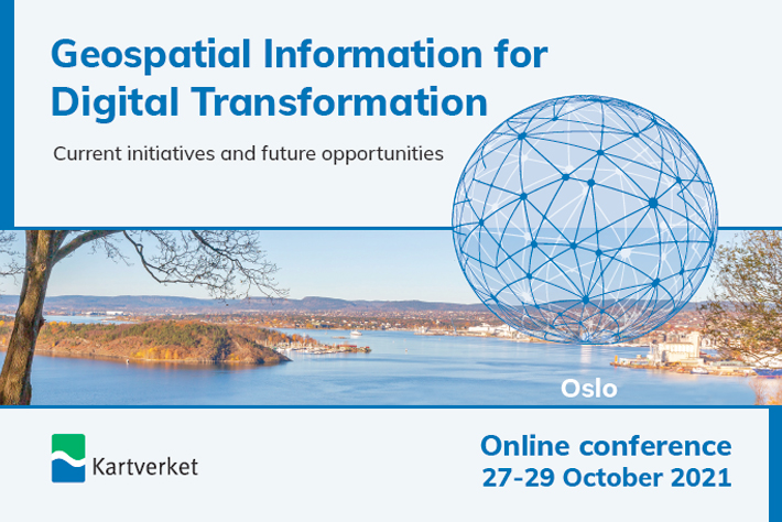
Geospatial Information for Digital Transformation conference, 27-29 October, Oslo

See the full programme for the conference. You can read the programme in russian, georgian, romanian and ukrainian.

A three-day event organized by Kartverket – Norwegian Mapping Authority with the support of various donors and development partners, including FAO, World Bank, UNSD/UN-UNGGIM, GEO and others, engaged 491 participants from 51 countries. 

The conference focused on the future of National Mapping Authorities, the benefits from the integration of key registers, the implementation of the Integrated Geospatial Information Framework (IGIF) and the methodology on how to prepare a country level action plan. Case studies covering the on-going development of country level action plans in line with the IGIF in Georgia, Kyrgyzstan, Moldova, and Ukraine have been presented, followed by a policy panel session.

The societal benefits of the use of geospatial information have been presented during the conference with best practice case studies from Norway, Croatia, Poland, Serbia and Moldova. The discussions over the implementation challenges and the need for good coordination of donor’s support, the benefits from the Fit-for-Purpose land administration as well as the discussions over the cybersecurity and the ethical issues in collecting and using geospatial information provided a great advice on the implementation challenges and the way forward.

The conference looked at the future developments, the use of new technologies, the use of drones, the spatial finance and the hybrid acquisition techniques.