Our vision
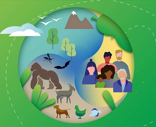
A world where the livestock sector sustainably contributes to the welfare of people and conservation of natural resources.
Areas of activity


The Animal Production and Health Division’s work is carried out by the Office of the Director, four technical service teams, staff in regional and country offices, as well as with multi-stakeholders platforms and other groups, who guide the livestock sector towards more socially, economically and environmentally desirable outcomes.
Office of the Director
- Administrative oversight of the Division's work.
- Programme coordination
Contact: Mr Thanawat Tiensin,
NSA Director
One Health and Disease Control Branch (NSAH)
Advances One Health principles for sustainable livestock transformation to enhance efficient production and safeguard livelihoods, the food chain, trade, and global health. The Branch develops evidence-based policies, provides technical guidance, facilitates coordination and fosters collaboration at global, regional, and national levels to prevent and control transboundary and high-impact animal diseases, zoonoses, and antimicrobial resistance (AMR) in agrifood systems — strengthening health system capacities, supporting emergency response, and helping to reduce the burden of health threats.
Livestock Innovation, Climate and Post-harvesting Solutions Branch (NSAL)
Pioneers innovative, evidence-based solutions for livestock, climate change, and environmental challenges. It spearheads efforts in data compilation, harmonization, and management regarding livestock populations, greenhouse gas emissions, environmental performance, and post-harvesting practices. Analyzing sector trends across social, economic, and environmental dimensions, it develops tools, policies, and guidelines for sustainable livestock transformation.
Sustainable Animal Production, Feed and Genetics Branch (NSAP)
Focuses on contributing to the promotion and implementation of sustainable practices in animal production, feed management, and animal genetics. The Branch’s work aims to optimize the productivity and efficiency of livestock systems while minimizing their environmental impacts. Key areas of focus include sustainable animal production systems, improved feed management practices and feed safety, advancing animal genetics and the management of genetic diversity, promoting animal welfare and resilient pastoralism, and system analysis — to enhance livestock production systems in an economically, socially and environmentally sustainable manner.
NSA mandate
- Support countries to sustainably grow the livestock sector.
- Ensure the availability of safe and quality animal products.
- Promote inclusive and efficient livestock markets.
- Enhance smallholders’ resilience and governments’ capacities to prevent and respond to livestock-related emergencies – whether caused by disease or natural disaster.
- Promote best practices that maintain animal health, welfare and livestock productivity.
Related documents
- FAO animal production and health – Annual report
[2024] [2023] - Sustainable livestock transformation: Opportunities for partnership
Related links
- Animal Production and Health Commission in Asia and the Pacific (APHCA)
- COAG’s Sub-Committee on Livestock
- Domestic Animal Diversity Information System (DAD-IS)
- Emergency Centre for Transboundary Animal Diseases (ECTAD)
- Emergency Management Centre (EMC)
- Emergency Prevention System for Animal Health (EMPRES-AH)
- European Commission for the control of Foot-and-Mouth Disease (EuFMD)
- FAO Virtual Learning Centers
- Global Agenda for Sustainable Livestock (GASL)
- Global Livestock Environmental Assessment Model (GLEAM)
- Global Youth Network on Sustainable Livestock Transformation
- Livestock Environmental Assessment and Performance (LEAP)
- Livestock Systems
- PPR Global Eradication Programme (PGEP)
- Programme Against African Trypanosomosis (PAAT)
- Reducing Enteric Methane to improve food security and livelihoods