AQUASTAT - FAO's Global Information System on Water and Agriculture
Geospatial Information
In the framework of AQUASTAT programme, several geospatial datasets and tools are produced that support global and regional assessments related to water and agriculture.
Examples of the above include the following:
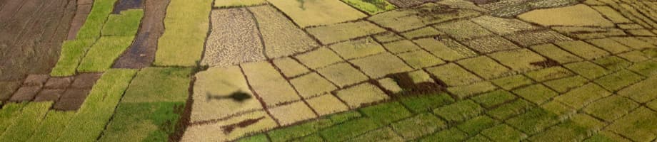
- Global map of irrigated areas - Created in cooperation with the Centre for Environmental Systems Research of the University of Kassel, Germany, this ASCII grid map shows the percentage of areas equipped for irrigation with a resolution of 5 minutes (about 10 km at the equator).
- AQUAMAPS – An online geospatial platform which gives access to internationally recognized regional and global spatial datasets on water resources and agriculture water management, including hydrological basins, rivers, dams, irrigation areas, precipitation, aridity, evapotranspiration, soil moisture.
- Climate Information Tool – A web-based tool to fetch climate data on a geographical basis, allowing for calculation of soil water balance and crop irrigation water requirements.
- WaPOR - A FAO portal to monitor water productivity and other key data about water and agriculture, using free satellite imagery.


