Ukraine’s new cadastre is a step toward improving land governance
On January 14, 2013 Ukraine began the implementation of a new Law on Cadastre, a new Law on Registration and the operation of an electronic cadastre system that is improving efficiency, transparency and access to information in the property sector. The Rural Land Titling and Cadastre Development Project, financed by the World Bank and assisted technically by FAO, supports the issuance of state land deeds, mapping and the electronic cadastral system. These are elements of the institutional hardware and software to record land rights, make real estate transactions more efficient and improve transparency in land governance.
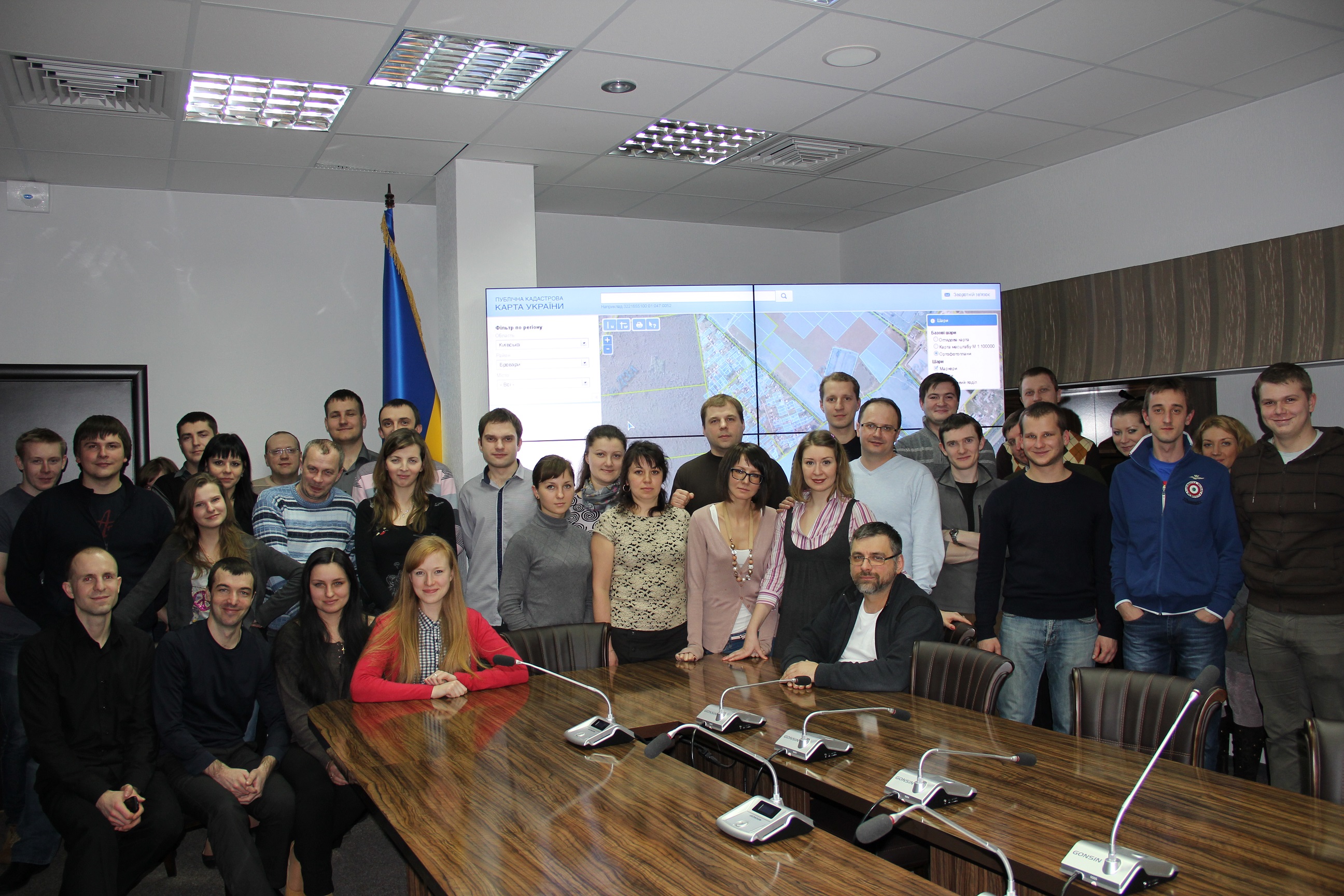
The nationwide rollout of the electronic cadastre system was accomplished quickly after the mapping process was completed. The rollout of the system included scanning, indexing and verification of 16.7 million property records in five months and the training of 1900 system operators. In the first months of operation there has been an overall reduction of time for registration of land parcels in the cadastre from more than two weeks to an average of less than an hour, with a statutory maximum of 14 days. The electronic system provides all 592 local offices with computers, software and broadband to communicate nationally and store all records in a single national database. Local offices have constant access to system support services. An on-line portal with the cadastral map superimposed over aerial photos provides users with options to submit queries about land parcels and to request correction of errors; and the geographic information system helps to prevent the superimposition of parcels. In addition, data are exchanged automatically with the State Registration Service, which registers legal rights to the land parcel.
The introduction of IT systems for property registration and cadastre serves as an important administrative reform to reduce the risk of fraud and regulatory violations. Doing Business, an annual report produced since 2003 by the World Bank and International Finance Corporation to measure business regulatory practices and reforms in 185 economies, has shown that the most popular good practices around the world to make property registration easier are: (i) using an electronic database, which exists in 108 of the measured economies, and (ii) offering cadastre information online, which exists in 50 of the measured economies. In the Europe and Central Asia region, over 56 percent of the investments made by the World Bank (USD 1.6 billion in loans and grants) during the past 15 years have been utilized for the IT systems implementation.
The FAO/World Bank partnership in land tenure is broad and includes policy work, project design, implementation support and supervision. The Rural Land Titling and Cadastre Development Project in Ukraine is a good example of joint FAO and World Bank efforts to support improvements in governance of land tenure. On its final supervision mission to Ukraine from 11 to 19 February 2013, a FAO/World Bank team concluded that the project is on track to complete all the project development objectives by the extended closing date of 30 April 2013. This visible effort provides an example to other countries that are carrying out similar processes.
Ukraine has enormous potential for growth in agriculture and in cities. Realizing that potential will require intensification in the agricultural sector to achieve full productivity and developing cities as growth centres with historic cores. To support these growth processes, governance of land, including accurate and authoritative spatial information, creates enabling conditions.
Future goals for the IT system stress continual quality improvement through plans to increase the coverage and the quality of data, offer new e-services, link property registration and cadastre with other key government registers, and build standardized Spatial Data Infrastructure (the set of communications backbones, transfer protocols, data platforms, shared agreements and standards for all spatial data). These steps will generate further public goods based on spatial data for use by government and by society as a whole. FAO, working in partnership with the World Bank, will continue to monitor the system implementation and quality of services provided to users. FAO also is continuing its dialogue with Ukraine about land governance within the framework of the The Voluntary Guidelines on the Responsible Governance of Tenure of Land, Fisheries and Forests in the Context of National Food Security.
For Russian version please click here.