视频
How to Work with Data – Tables and Charts – on FAO Agro-informatics Platform
26/01/2024
In this video, we will learn how to work with the data from datasets on FAO Agro-informatics Platform by going through features available on the platform such as tables and charts.
How to Create and Share a Story on FAO AgroInformatics Platform
27/12/2023
In this video, we will learn how to create and share a story on the Agroinformatics Platform. The story feature allows us to tell a compelling story using the vast datasets of maps, charts, and tables that are available on the AgroInformatics platform.
How to Publish a Map on FAO GISMGR 2
27/12/2023
In this video, we will learn how to publish a map on FAO GISMGR 2.
How to Navigate FAO AgroInformatics Platform
27/12/2023
In this video, we will learn how to navigate FAO Agroinformatics Platform, having a look at all the basic features.
How to Publish Raster Cubes on FAO AgroInformatics Platform
27/12/2023
In this video, we will learn how to publish raster cubes.
How to Export Raster Data on FAO AgroInformatics Platform
27/12/2023
In this video, we will learn how to export raster data on the Agroinformatics Platform. Raster data is any pixelated data where pixels are associated with a specific geographical location. For each area defined, raster data from datasets can be downloaded.
How to Analyze Data on FAO AgroInformatics Platform
22/12/2023
In this video, we will learn how to analyze data from datasets on FAO Agroinformatics Platform by going through the data analysis features available on the platform.
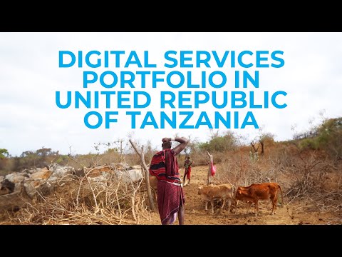
Empowering agricultural stakeholders with FAO Digital Services Portfolio: the United Republic of Tanzania
04/12/2023
In this video, we dive into the concrete uses of FAO Digital Services Portfolio in the United Republic of Tanzania (Ugani Kiganjani) to empower farmers and fishers against the challenges of climate change, illustrating the targeted impact and results of Digital interventions in the field.
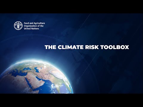
The Climate Risk Toolbox
23/03/2022
In this video, we will learn how to use the Climate Risk Toolbox on the AgroInformatics Platform.

The Use of WaPOR Data to Monitor Agricultural Production in Near Real-Time
15/03/2022
In this video, we will learn how to use WaPOR data on the AgroInformatics Platform.

How to Use the Time Dimension (Split Function)
15/03/2022
In this video, we will learn how to use the time dimension also called the split function.
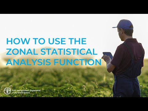
How to Use the Zonal Statistical Analysis Function
15/03/2022
In this video, we will learn how to use the Zonal Statistical Analysis Function.
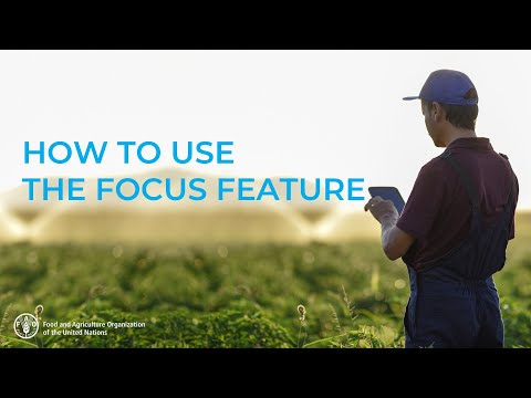
How to Use the Focus Feature
22/04/2022
In this video, we will learn how to use the focus feature. The Focus Feature gives the ability to highlight an area as a country or a more specific zone.
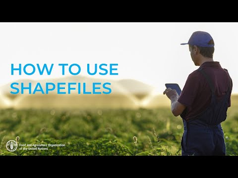
How to Use Shapefiles
22/04/2022
In this video, we will learn how to use shapefiles on the AgroInformatics Platform.


How to use Time Function
21/02/2023
In this video, we will learn how to use the time function on the AgroInformatics Platform.
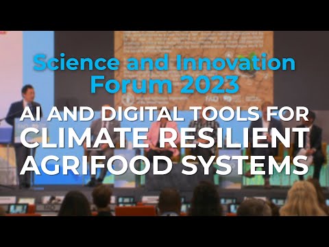
The Future of Agriculture: AI and Digital Solutions for Climate Resilient Agrifood Systems
31/10/2023
During the Science and Innovation Forum 2023, FAO organized a special session on AI and Digital Tools for Climate Resilient Agrifood Systems on the 19th of October, to explore the potential of new digital technologies with a focus on the pivotal role of artificial intelligence in building climate-resilient agrifood systems that are more efficient, sustainable and adaptable.
FAO Digital Services Portfolio against climate change in the United Republic of Tanzania
27/10/2023
In this video, we dive into the concrete uses of FAO Digital Services Portfolio in the United Republic of Tanzania (Ugani Kiganjani) to address the challenges of climate change, illustrating the targeted impact and results of Digital in the field.
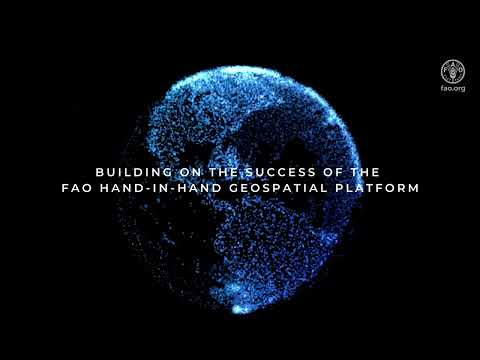
FAO AgroInformatics Platform – Expanding Digital Capabilities for more Data-Driven Solutions
12/10/2023
Building upon the resounding success of FAO flagship Hand-in-Hand Geospatial Platform, the new FAO Agroinformatics Platform expands now digital capabilities to accelerate this transformation, besides geospatial, ensuring targeted interventions with actionable results.
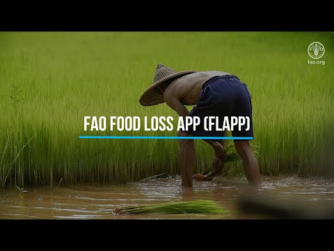
FAO Food Loss App - FLAPP
29/09/2023
On International Day of Awareness of Food Loss and Waste, FAO has launched the new FAO Food Loss App (FLAPP) a game-changing app against food loss.