FAO.org
International Network of Soil Information Institutions
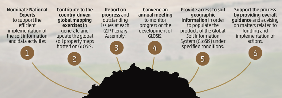
The International Network of Soil Information Institutions (INSII) consists of nationally mandated institutions and GSP partners working together to develop the Global Soil Information System (GLOSIS). These institutions possess the necessary technical expertise to create and exchange specific national soil information and data. Whether they are sub-national or national, regional or global, all institutions have the opportunity to join the INSII network and contribute to the collection and dissemination on the status of soil resources.
Terms of Reference (ToR) of the International Network of Soil Information Institutions (INSII)
For more information contact: [email protected]
Statistics
Disclaimer
[AR] رأي المنظمة بشأن الوضع القانوني لأي بلد إنّ الحدود والأسماء المبیّنة والتسمیات المستخدمة في ھذه الخارطة لا تعبّر بأي شكل من الأشكال عن أو إقلیم أو مدینة أو منطقة أو سلطاتھا ولا بشأن تعیین حدودھا وتخومھا. وتشیر الخطوط المتقطعة على الخرائط إلى الحدود التقریبیة التي قد لا .یكون ھناك اتفاق كامل بشأنھا بعد
[ZH] 本图显示的边界和名称以及使用的名称,并不意味着粮农组织对任何国家、领地、城市或地区或其当局的法律地位、或对其边界或国界的划分表示任何意见。地图上的虚线表示可能尚未完全达成一致的近似边境线。
[EN] The boundaries and names shown and the designations used on these map(s) do not imply the expression of any opinion whatsoever on the part of FAO concerning the legal status of any country, territory, city or area or of its authorities, or concerning the delimitation of its frontiers and boundaries. Dashed lines on maps represent approximate border lines for which there may not yet be full agreement.
[FR] Les frontières et les noms et autres appellations qui figurent sur cette carte n’impliquent de la part de la FAO aucune prise de position quant au statut juridique des pays, territoires, villes ou zones ou de leurs autorités, ni quant au tracé de leurs frontières ou limites. Les lignes pointillées sur les cartes représentent des frontières approximatives dont le tracé peut ne pas avoir fait l’objet d’un accord définitif.
[RU] Указанные на карте границы, названия и обозначения не означают выражения какого-либо мнения со стороны ФАО относительно правового статуса той или иной страны, территории, города или района или их принадлежности, или относительно делимитации их границ или рубежей. Пунктирные линии на географических картах обозначают приблизительные границы, которые могут быть окончательно не согласованы.
[ES] Las fronteras mostradas y los nombres y las designaciones empleados en este mapa no implican, por parte de la FAO, juicio alguno sobre la condición jurídica de países, territorios, ciudades o zonas, o de sus autoridades, ni respecto de la delimitación de sus fronteras o límites. Las líneas discontinuas en los mapas representan fronteras aproximadas respecto de las cuales puede que no haya todavía pleno acuerdo.
Working Groups
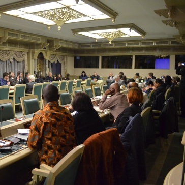
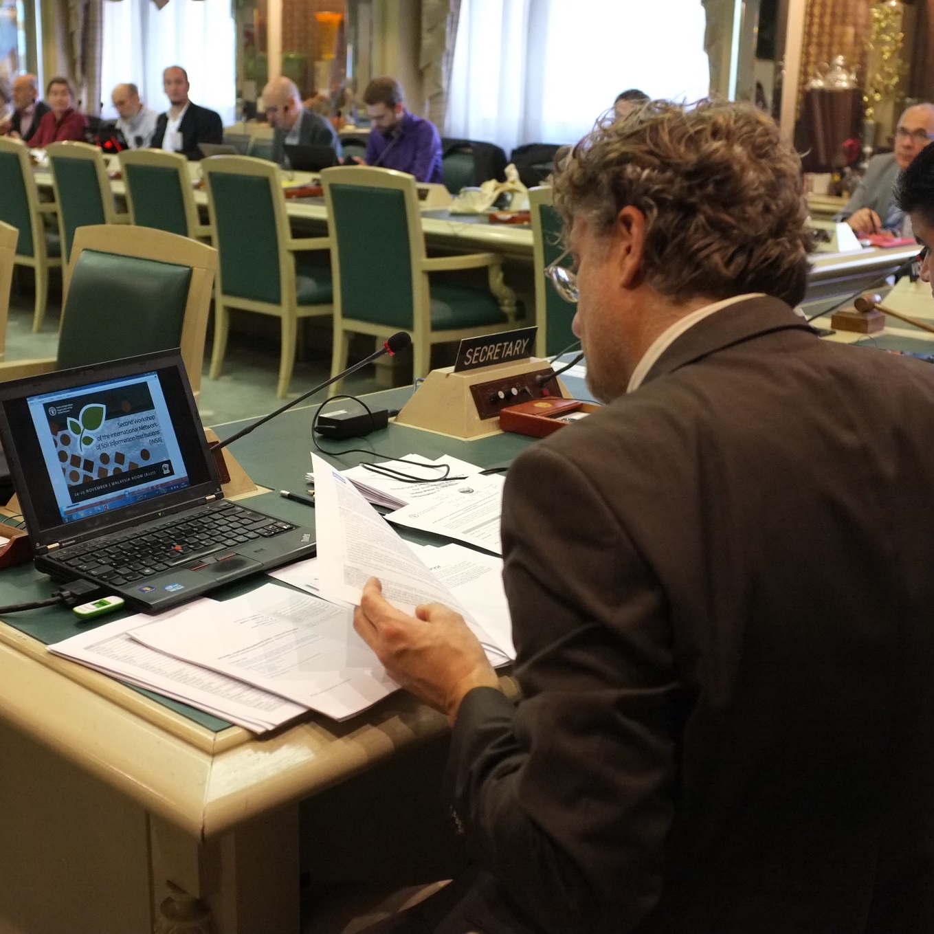
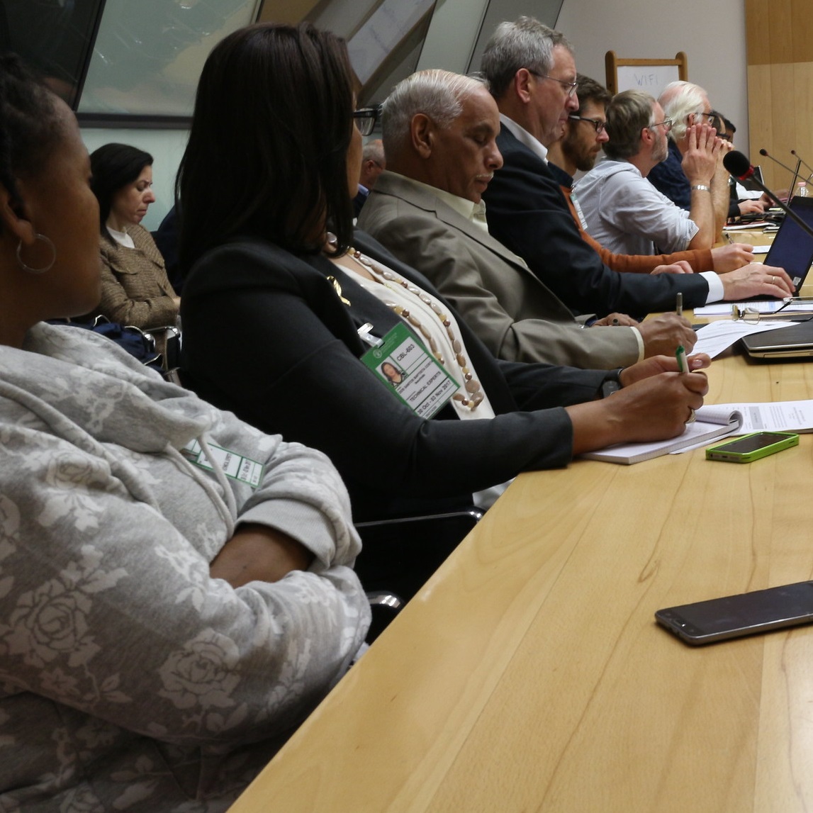
INSII Working sessions
National Soil Information Institutions joined forces to create the first International Network of Soil Information Institutions and decided on the roadmap, roles and responsibilities for the execution of GSP Pillar 4.
First working session
FAO headquarters, Rome | 08 - 10 December 2015
The establishment of the International Network of Soil Information Institutions: strengthening of soil data and information is the goal of GSP Pillar 4.
Second working session
FAO headquarters, Rome | 24 - 25 November 2016
INSII discusses progress in the implementation of Pillar 4, which involves the GSOCmap, the development of the GLOSIS and SoilSTAT.
Third working session
FAO headquarters, Rome | 31 October - 01 November 2017
INSII discussed the quality assurance and quality check of the national GSOCmap products 2017 and Pillar 5 soil information modelling and harmonization of soil analysis.
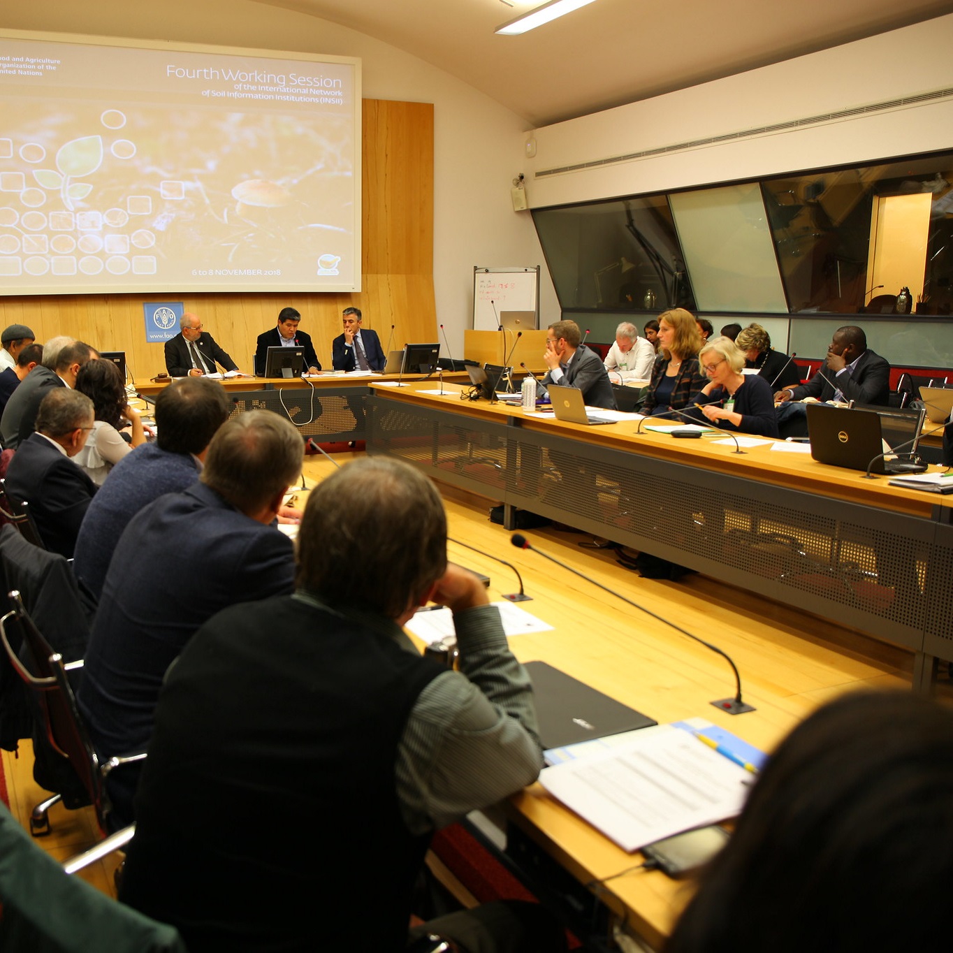
Fourth working session
FAO headquarters, Rome | 06 - 08 November 2018
INSII debated on the implementation and the Technical Specifications of GLOSIS, GLOSIS Data Products, SoilSTAT, and CountrySIS Guidelines.

Fifth working session
FAO headquarters, Rome | 21 - 23 October 2019
During its annual meeting INSII monitors progress on Pillar 4 implementation. In particular the Global Soil Salinity and GSOC sequestration potential map were discussed. The draft concept note for GLOSIS and SOILSTAT were endorsed.

Sixth working session
FAO headquarters, Rome | 06 (only P4WG) 07 - 09 October 2020
INSII held its sixth working session online through the Zoom platform.
Seventh working session
FAO headquarters, Rome | 09 - 11 November 2021
INSII held its seventh working session online through the Zoom platform.
Eighth working session
Online | 01 - 03 November 2022
INSII will held its eighth working session online through the Zoom platform.
Ninth working session
Online | 07 - 09 November 2023
INSII will held its ninth working session online through the Zoom platform.
Tenth working session
Online | 15 - 17 January 2025
INSII will held its tenth working session online through the Zoom platform.