QGIS and WaPOR data for water productivity and irrigation performance assessment training was held in Kenya (24-27 October 2023)
")
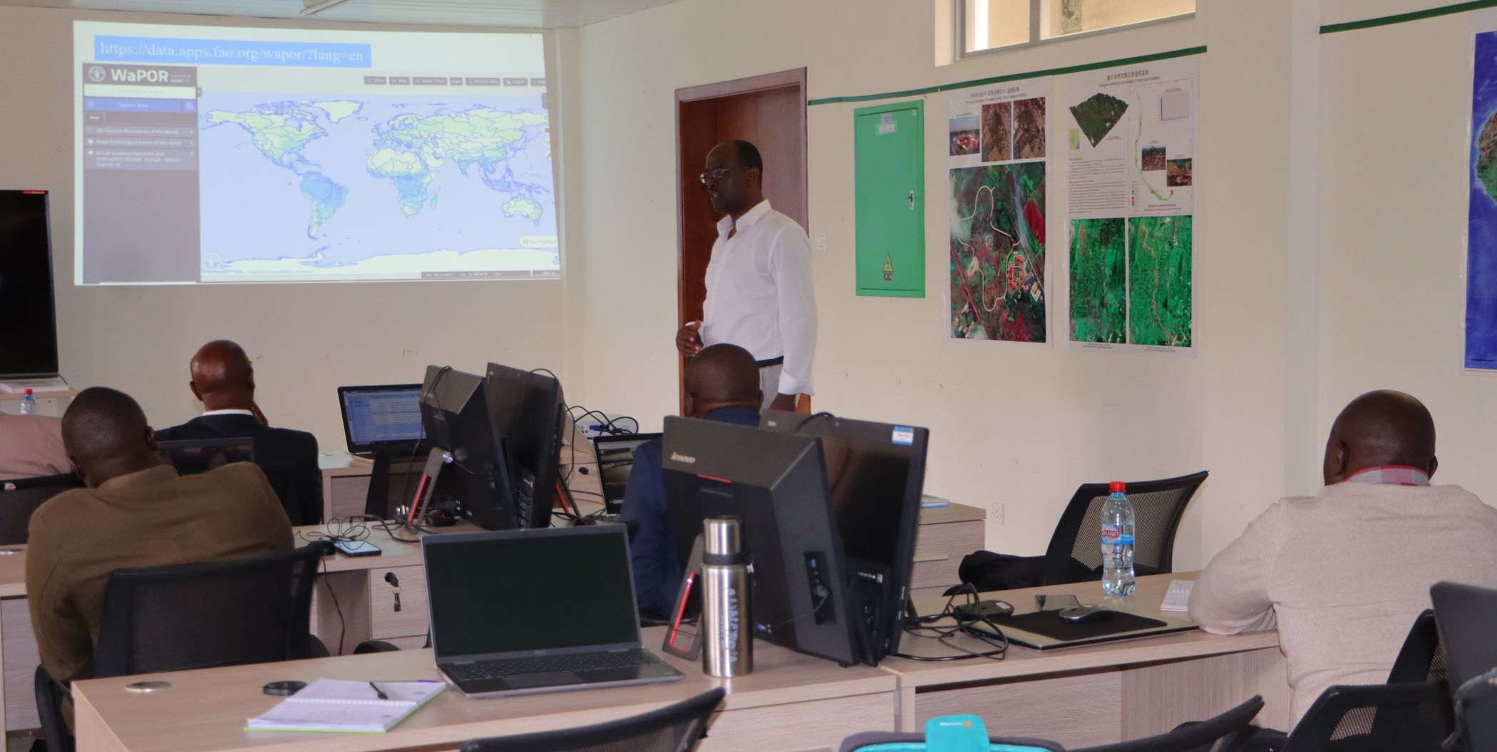
The WaPOR phase 2 project organized the regional training "QGIS and WaPOR for Water Productivity and Irrigation performance", as part of the capacity development component and supported by the Knowledge Hub of Kenya at Jomo Kenyatta University of Agriculture and Technology (JKUAT). The training was organized together with the IHE-Delft and IWMI from 24 to 27 October 2023.
The training allowed participants to develop crucial skills in QGIS, the QGIS plugin, and the remote-sensing derived WaPOR dataset. In addition, participants learnt to conduct spatiotemporal analysis of water productivity and irrigation performance assessment, enhancing agricultural management through the interpretation of performance indicator maps based on hands-on exercises with irrigation schemes in Kenya and the region.
Experts from the Ministry of Water Sanitation and Irrigation (MOWSI), the National Irrigation Authority (NIA), the county government of Laikipia and Samburu, and JKUAT, participated in the meeting.