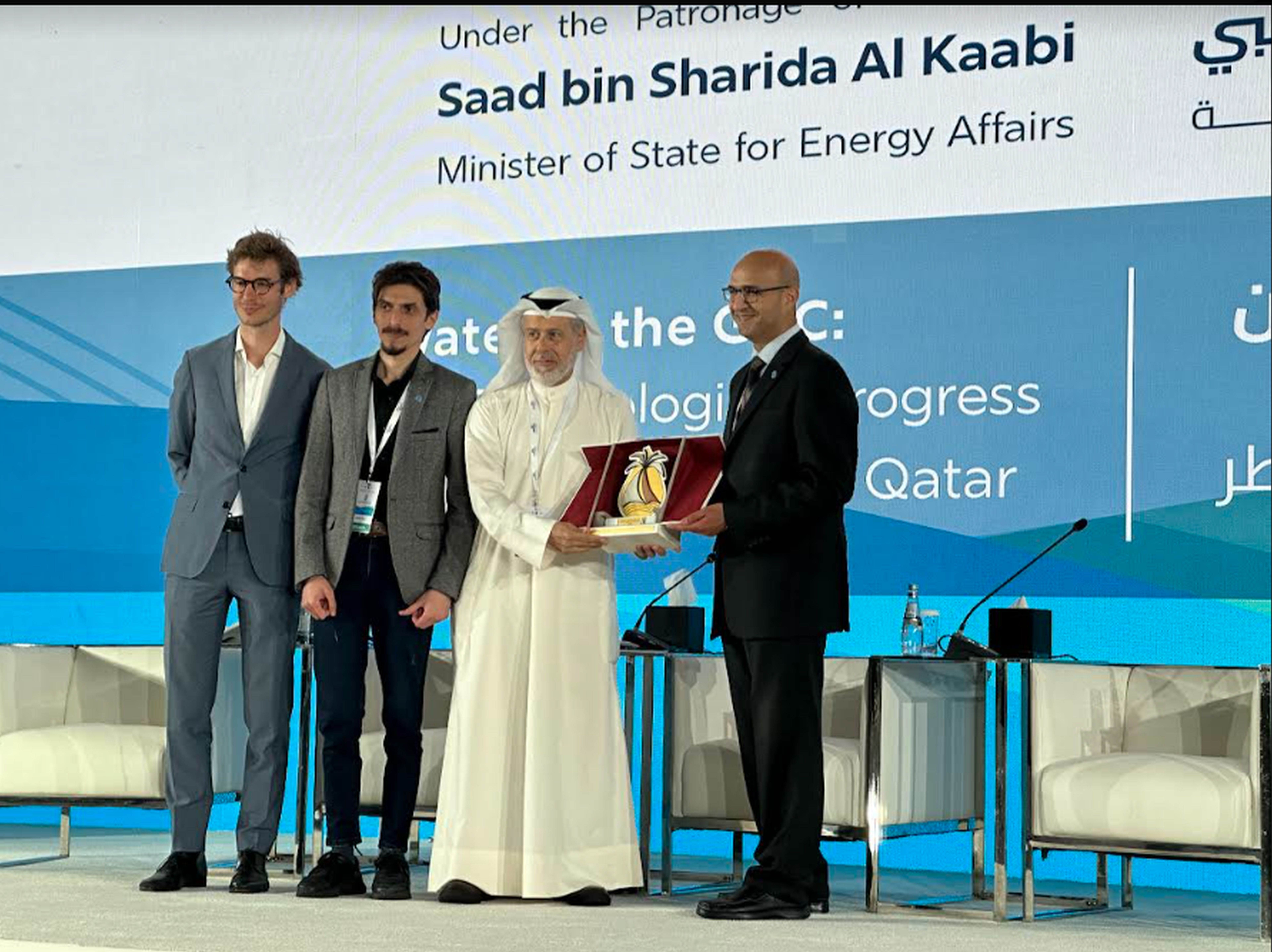
WaPOR presented during FAO's technical session at the WSTA 15th Gulf Water Conference in Doha, Qatar

The Food and Agriculture Organization of the United Nations (FAO) hosted a technical session "Leveraging Geospatial Technology to Bridge the Data Gap for Efficient Management of Agricultural Water" at the WSTA 15th Gulf Water Conference, which took place on 28 April 2024 in Doha, Qatar.
The session delved into FAO's data platforms and applications of remote sensing data. Over 120 participants attended the technical session and explored how innovative solutions using remote sensing and geospatial technology can tackle water and agriculture related issues. Attendees learned how WaPOR provides access to geospatial information and analytics on water usage and productivity, enabling the assessment of water use efficiency, identification of water-stressed areas, and support for the formulation of sustainable water management strategies.
This technical session provided a valuable opportunity for policymakers, water management professionals, researchers, and practitioners in the NENA region to explore how cutting-edge geospatial technologies can be leveraged to bridge data gaps and support achieving efficient water management in agriculture.
