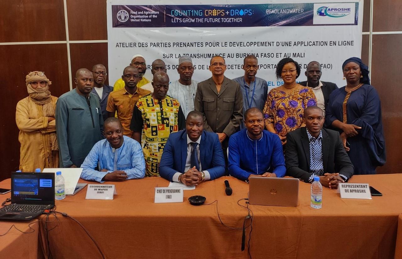
Workshops in Mali and Burkina Faso on the use of WaPOR data for pastoralism

These workshops come as a follow-up to the series of workshops that took place last year (in August 2021) at the intersection of two FAO Multi-disciplinary Fund projects: “Improving land and water productivity in the Sudano-Sahelian belt” and “Strengthening resilience of pastoralists and agro-pastoralists in the Sahel through innovative tools and improved data”. The 2021 workshops aimed to identify ways to help Sahelian pastoralists and agro-pastoralists become more resilient in the face of the current challenges, including the ways in which climate change affects feed availability.
The workshops of July 2022 were another step in the co-development of an application based on WaPOR data that will support transhumant herders. They gathered pastoralism and GIS experts around the purpose of creating a Google Earth Engine app that can provide an assessment of animal feed production (quantity, quality and distribution), and combine this data with livestock inventory to evaluate fodder/feed availability in key areas. The application will also feature other external data that might be of relevance to herders, such as water availability, veterinary station availability, presence of cattle market, etc, to provide a more complete picture of the situation on the ground.
Image: photo from the Mali workshop showing participants
