Enabling land registration and supporting land administration
In December 2012, FAO successfully concluded the Solutions for Open Land Administration (SOLA) project. The 2.5 year project was initially funded by the Government of Finland and dedicated to implementing an open-source computerized cadastre and registration system that is both affordable and sustainable in the context of developing countries.
The open-source software produced by the SOLA project (also called SOLA) is based on international good practice for service delivery, responsible governance of tenure (including transparency of process and transparency of tenure details), data management and the need for enterprise-scale software. The underlying data structures used by SOLA software are also based on the Land Administration Domain Model (LADM), published by the International Organization for Standardization (ISO) as ISO 19152.
As the laws and practices governing the support of land administration are often unique to a country, SOLA was specifically designed to be customizable so that it could reflect the laws and practices of the host country.
Original SOLA software was developed as a land registration tool, automating official land registry and cadastre functions. Over the time, SOLA has evolved and additional tools have been developed to address support of land administration functions. Today, SOLA desktop applications consist of the following tools:
- Registry (land rights registration and cadastre);
- Systematic Registration (data collection and public display);
- State Land (state land management).
In the framework of the implementation of the Voluntary Guidelines on the Responsible Governance of Tenure of Land, Fisheries and Forests (VGGT), SOLA has been seen as an open source example of enabling technology for improving transparency and service delivery in support of land administration agencies – key elements to improve land tenure governance.
After 2014 with the support of UK Department for International Development SOLA team has developed two new tools – Open Tenure and Community Server – to support informal or community based land recording, driven by local communities.
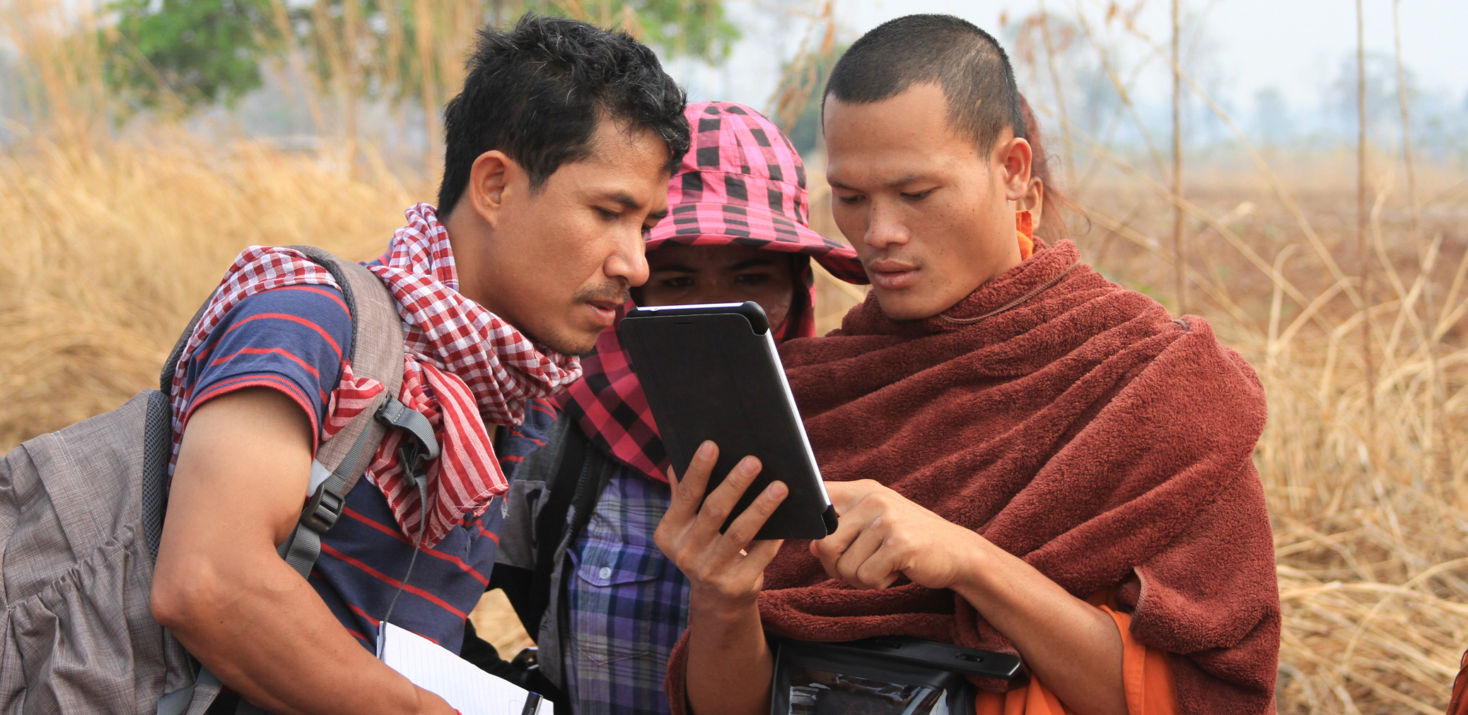
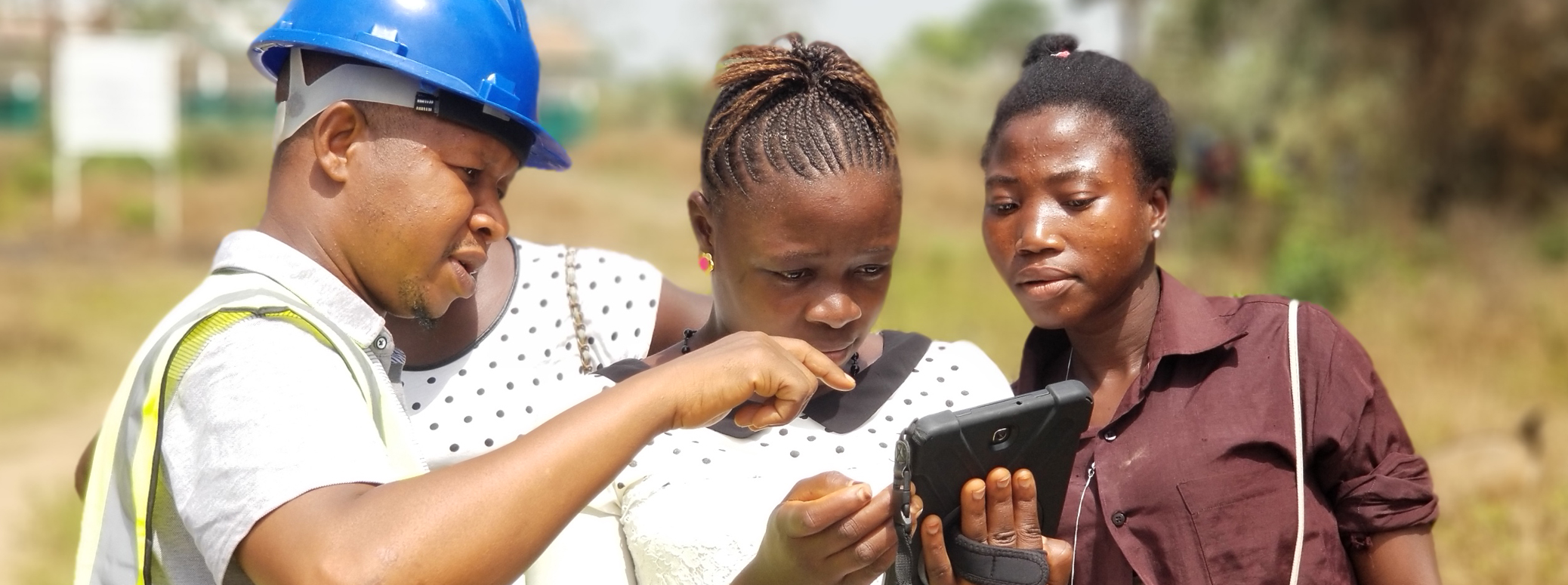
Open Tenure is a mobile application that supports community based mapping and recording activities, facilitating the capturing of details of land parcels, evidence, information about possessors and their rights to those parcels, as defined by the communities. Additionally it allows the recording of community boundaries (e.g. village boundaries).
Community Server is a Web-application that hosts and maintains data, collected with the Open Tenure mobile application. It supports claims processing, printing maps and listings for the public display, supporting initial sporadic or systematic recording of parcels information and their possessors, as well as recording of secondary changes to the existing records that and supports the managing of community areas.
Independent Review
Full Report: Review SOLA Suite of applications, COWI, 2018
Highlights from the independent review (COWI, 2018)
Data Model and LADM Compliance
The SOLA data models are all at least Level 1 Compliant with LADM. Some of the packages are Level 2 or Level 3 compliant as presented in the table below:
| Compliance Registry | Compliance Systematic Registration | Compliance State Land | Compliance Open Tenure |
Full Suite Package |
Level 1 |
Level 1 |
Level 1 |
Level 1 |
Administrative package |
Level 3 |
Level 3 |
Level 3 |
Level 1 |
Spatial Unit Package |
Level 2 |
Level 2 |
Level 2 |
Level 1 |
Surveying and Representation Sub package |
Level 1 |
Level 1 |
Level 1 |
Level 1 |
Technical platform
The table below briefly describes platforms and tools used in SOLA and Open Tenure products:
| SOLA Registry, Systematic Registration, State Land, Community Server | Open Tenure (Mobile Devices) |
Application Server | Payara (JAVA EE specification) | Apache HTTP client for API interaction and maps download |
Database | PostgreSQL with PostGIS spatial extension | H2 database with JTS spatial extension |
GIS server | GeoServer (WMS services) | Google Maps SDK for Android |
Reports | Jasper reports | Claim report |
Security Model | JEE 7 Security Model, Glassfish and Metro. | Android platform + data encryption |
Version Control | GitHub | GitHub |
Comparison of existing tools for tenure data collection
Open Tenure is not the only open-source tool for tenure data collection available on the market. The following table compares different other tools, their functionality, system quality and other features.
| Green | Available | SOLA OT | Cadasta | MAST | STDM | ODK |
| Yellow | Partly available | |||||
| Red | Not available | |||||
Functionality | |||||||
Workflow management |
|
|
|
|
| ||
› Dispute handling |
|
|
|
|
| ||
Property management |
|
|
|
|
| ||
› Systematic Registration |
|
|
|
|
| ||
Spatial unit management |
|
|
|
|
| ||
Map spatial information |
|
|
|
|
| ||
Manage rights and right holders |
|
|
|
|
| ||
Digital document management |
|
|
|
|
| ||
Search, retrieve and display |
|
|
|
|
| ||
Reporting |
|
|
|
|
| ||
System Qualities | |||||||
Security |
|
|
|
|
| ||
Maintainability/Flexibility |
|
|
|
|
| ||
› System administration |
|
|
|
|
| ||
› Survey form templates |
|
|
|
|
| ||
› Multiple languages |
|
|
|
|
| ||
Other |
|
|
|
|
| ||
› Multiple operating systems |
|
|
|
|
| ||
› E-mail notifications |
|
|
|
|
| ||
› Data import/export |
|
|
|
|
| ||
› Offline use of data |
|
|
|
|
| ||
› Downloadable Installers |
|
|
|
|
| ||
› Host Web data server |
|
|
|
|
| ||
› Support |
|
|
|
|
| ||
While selecting one of the products, the following should be considered:
- MAST, CADASTA, ODK and Open Tenure perform similar functions based on a similar architecture (server – mobile device synchronization). STDM offers similar functions but on different platforms and devices (desktop-based).
- Open Tenure has a more sophisticated architecture than MAST and STDM, with better security and more advanced mapping tools available in the mobile application.
- Cadasta, MAST and STDM describe the use of survey grade GPS receivers connected to a mobile device to improve accuracy of measured coordinates, which are less affordable by communities.
- STDM, MAST and to a certain degree Open Tenure require/rely on a project office and on GIS expertise to advance the data collection work; there is a need for specialists and trainers to set the data collection project and team up.
- Cadasta is hosting one (1) server for all client/partners.
- Open Tenure, Cadasta and STDM are capable of providing support and training.