Earth observation
Locust monitoring using satellites
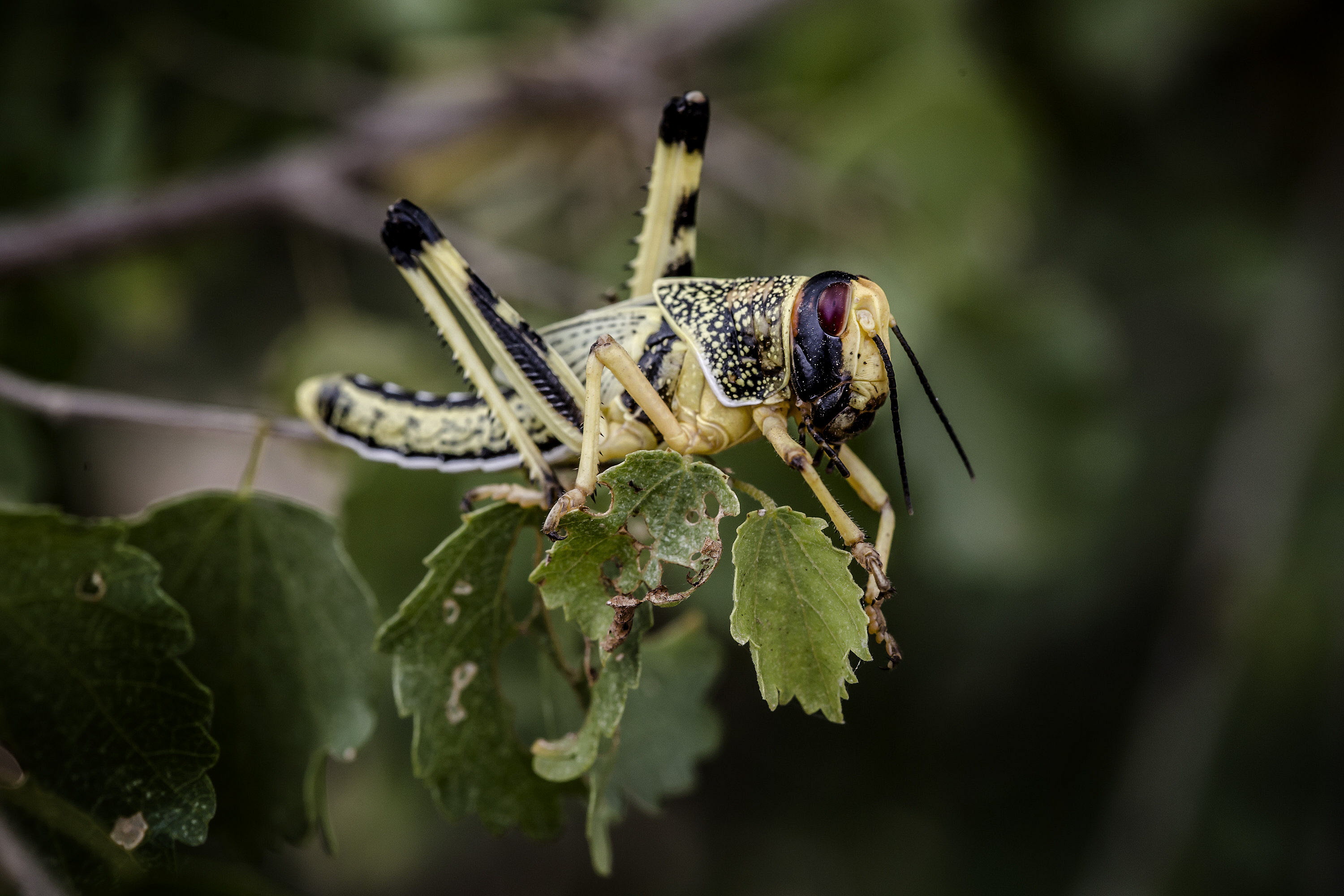
Currently available satellites cannot directly detect individual locusts or locust swarms. Some highly sophisticated satellites used by the military and forthcoming civilian satellites could potentially detect locust swarms but these images are not yet available. Current satellites can provide continuous estimates of rain-producing clouds and ecological conditions, such as vegetation development, which are important factors for monitoring Desert Locust habitats and forecasting locust development. The temporal, spectral and spatial characteristics of the sensor instruments onboard these satellites provide a wide range of sensing capabilities.
Rainfall estimates
DLIS uses rainfall estimates derived from METEOSAT, mainly infrared and visible channels, to understand better the spatial and quantitative distribution of rainfall in the Desert Locust breeding areas. Although imagery are available every 15 minutes and estimates every three hours, DLIS uses daily 24-hour cumulative estimates as well as decadal estimates of rainfall processed by Columbia University's International Research Institute for Climate and Society (IRI). DLIS combines satellite-derived estimates with those that originate from meteorological models. Whenever possible, these are verified with ground data.
Vegetation estimates
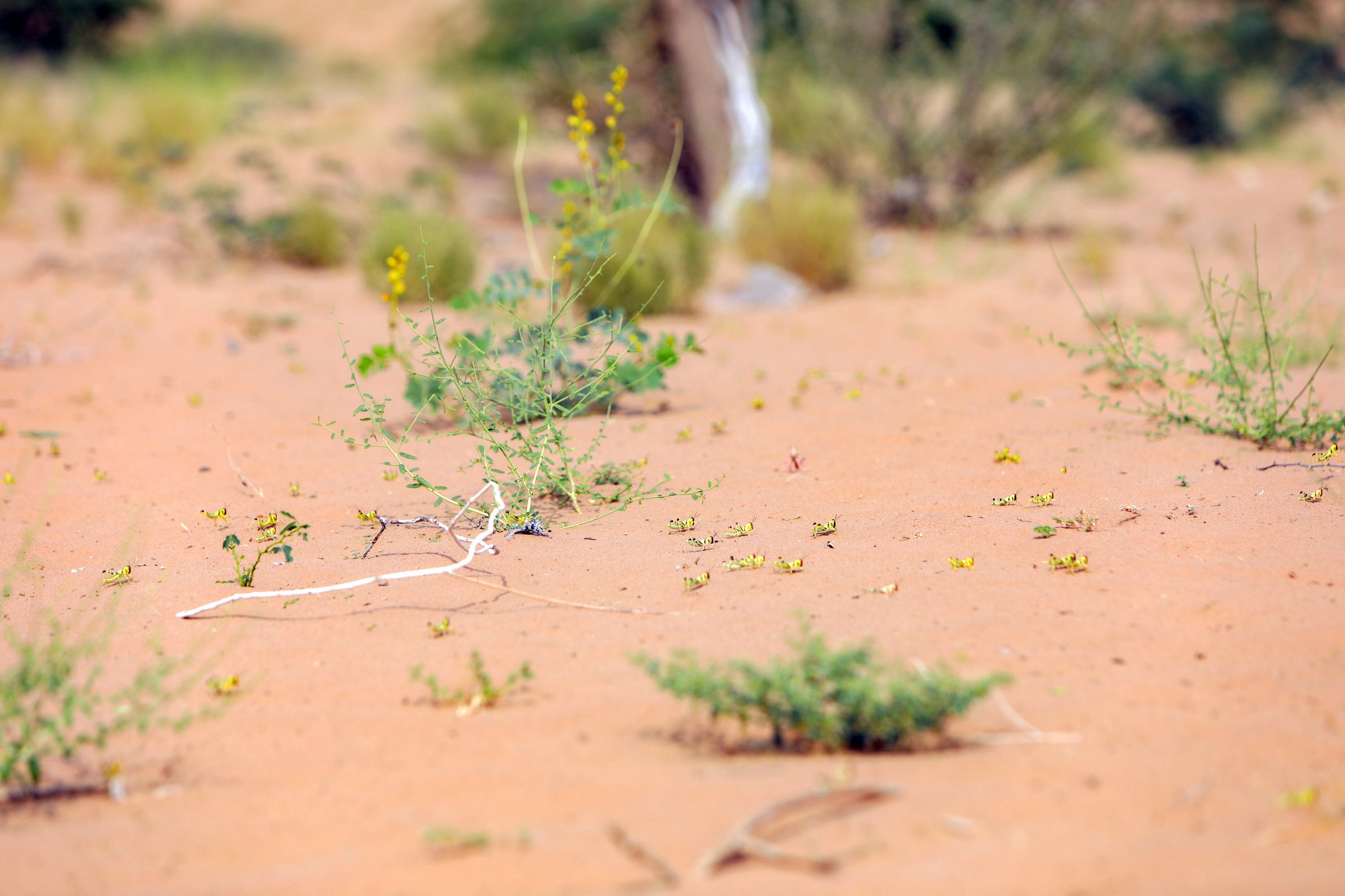
DLIS used to rely on 1 km resolution SPOT-VGT imagery to monitor ecological conditions in the breeding areas of the Desert Locust. Although the sensor is specifically designed for vegetation monitoring, it became clear that it is difficult to detect the sparse vegetation in the desert – vegetation that appears to be dry to the satellite yet sufficiently green for Desert Locust survival and breeding. Consequently, DLIS turned to higher resolution imagery, that of 250 metre resolution MODIS, consisting of 16-day cumulative images. Analysis of individual channels provides an even more accurate estimation of ecological conditions in Desert Locust habitats. Whenever possible, these are verified with survey results. DLIS is now shifting to 20 metre resolution Sentinel-3.
Soil moisture estimates
DLIS collaborates with NASA and Lobelia to produce two products on an operational basis that estimates soil moisture that is required for successful egg laying and hatching by Desert Locusts. The Lobelia product is the result of the SMELLS SM project that developed average soil moisture from daily estimates at 1 km spatial resolution during the most recent decade based on disaggregated SMOS soil moisture product. Typical surface soil moisture values are from 0-0.05 m3/m3 (dry) to 0.5 m3/m3 (wet). Relevant ranges for Desert Locust monitoring are 0.10-0.20 m3/m3.
Current research and progress
FAO DLIS collaborates with a variety of universities and other partner institutes such as the Italian Institute of Biometeorology (IBIMET), the European Commission Joint Research Centre (JRC), Columbia University's International Research Institute for Climate and Society (IRI), NASA's World Wind Project, and the Catholic University of Louvain (Belgium) in improving the application of remote sensing imagery for Desert Locust monitoring and forecasting.
See also
Models
Estimating locust development rates, migration, 3D, and optimal response
GIS
RAMSES & SWARMS GIS: managing and analysing geo-spatial data

Emergency operations
EarthRanger: tracking aerial survey and control operation
Drones
dLocust: long-range drone for mapping vegetation and detecting locusts

Digital tools
eLocust3 suite: real-time data transmission from the field to national locust centres
Climate predictions
Using six-month rainfall and temperature predictions to forecast locust developments