Emergency operations
EarthRanger: managing survey and control aircraft during emergencies
Vulcan, a philanthropic organization, has developed the EarthRanger software for wildlife management. In 2020, DLIS collaborated with Vulcan to adapt the software for managing Desert Locust aerial survey and control operations. EarthRanger has been enhanced to ensure ingestion of eLocust3m and eLocust3g data as well as exporting manually entered data in a compatible format for inclusion in the RAMSES GIS used by national locust authorities. Prior to the use of EarthRanger, aircraft used in emergency locust operations were not systematically managed or tracked.
Vulcan, a philanthropic organization, has developed the EarthRanger software for wildlife management. In 2020, DLIS collaborated with Vulcan to adapt the software for managing Desert Locust aerial survey and control operations. EarthRanger has been enhanced to ensure ingestion of eLocust3m and eLocust3g data as well as exporting manually entered data in a compatible format for inclusion in the RAMSES GIS used by national locust authorities. Prior to the use of EarthRanger, aircraft used in emergency locust operations were not systematically managed or tracked.

EarthRanger: tracking specific control operations
All aircraft and associated logistics can be managed by EarthRanger's online system. Data are visualized on maps, including the locations of all aerial assets and spray runs of specific control operations in real-time with continual updates. Using Tableau, statistical and inventory information are tabulated and presented for reporting purposes.
All aircraft and associated logistics can be managed by EarthRanger's online system. Data are visualized on maps, including the locations of all aerial assets and spray runs of specific control operations in real-time with continual updates. Using Tableau, statistical and inventory information are tabulated and presented for reporting purposes.

See also
Earth observation
Monitoring rainfall, vegetation and soil moisture from space

Digital tools
eLocust3 suite: real-time data transmission from the field to national locust centres
Models
Estimating locust development rates, migration, 3D, and optimal response

GIS
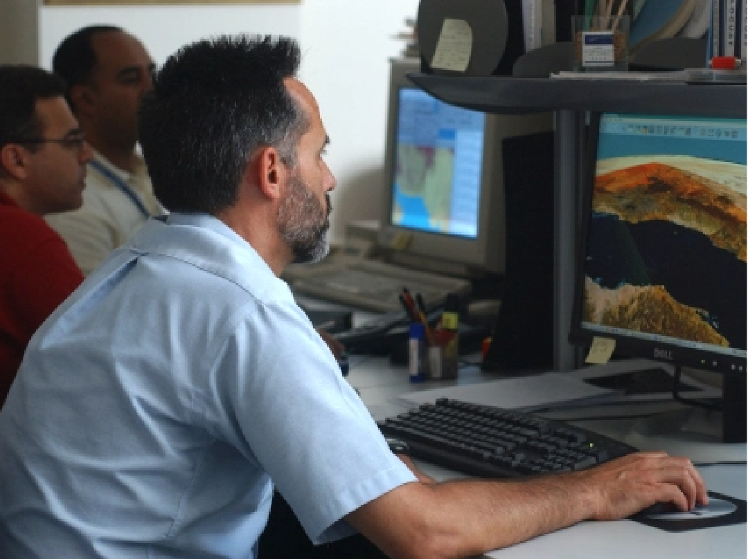
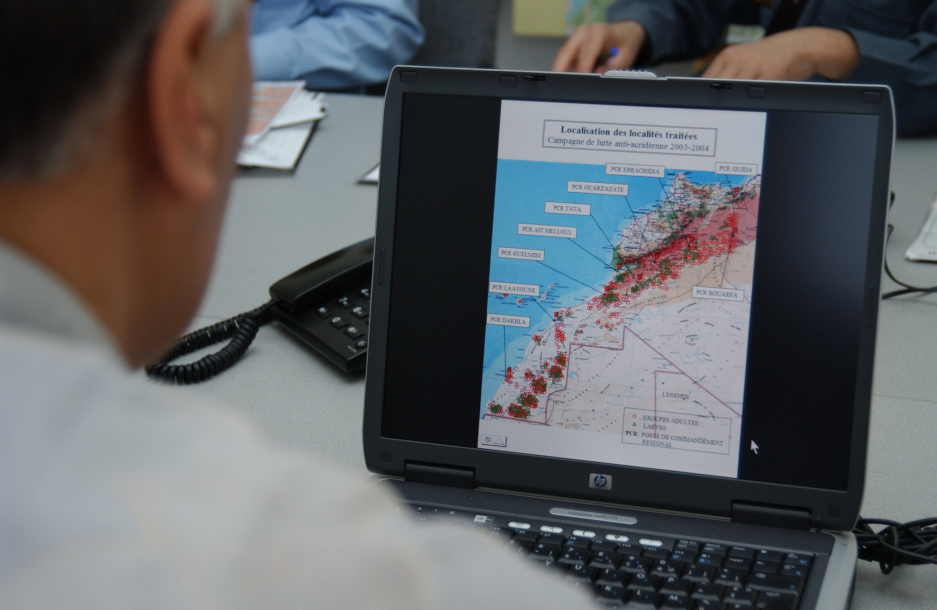
RAMSES & SWARMS GIS: managing and analysing geo-spatial data
Drones
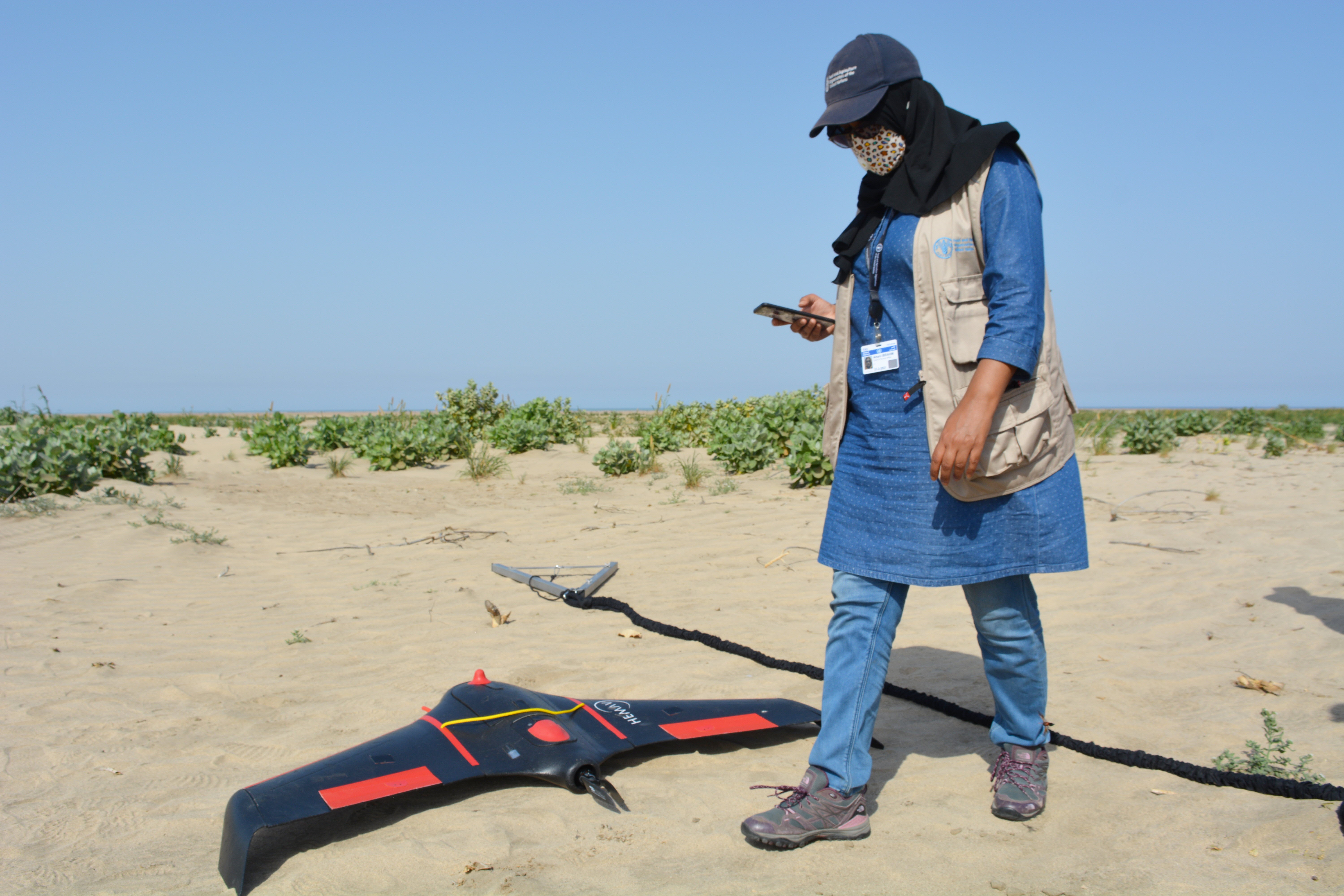
dLocust: long-range drone for mapping vegetation and detecting locusts
Climate predictions
Using six-month rainfall and temperature predictions to forecast locust developments