Models
Desert Locust egg and hopper development
The development rate of Desert Locust eggs and hoppers (nymphs) is governed by temperature. For eggs, this is exclusively a function of soil temperature at pod depth. There is a reasonably good relationship between soil and air temperatures so rates of egg development can be predicted satisfactorily from air temperatures. Long-term mean values can be used since temperatures do not vary greatly between years for a given place and time of year in most of the breeding areas except sometimes during winter or spring when the weather may be unusually warm. For hoppers, much the same is true however hoppers can control their body temperature to a considerable extent by basking or seeking shade. Development models use long-term mean temperatures, site-specific daily temperatures, and standard development rates (10–14 days for hatching and 24–36 days for hopper development).

Desert Locust Trajectory Model (NOAA HYSPLIT)
The National Oceanic and Atmospheric Administration (NOAA) in the USA operates an online trajectory model. The DLIS Senior Locust Forecasting Officer, has used the NOAA ARL HYSPLIT atmospheric transport model for many years to support efforts to (a) forecast the possible future movement of wind-blown locust swarms, using forward-trajectory analyses, and to (b) assess where a given swarm may have come from, by using backward-trajectory analyses. In 2020, DLIS approached NOAA to refine this model as a web application to use for Desert Locust swarms. Under a LoA, NOAA customised the model to operate in two modes (individual and batch) that produces estimated trajectories up to 15 days forward or backwards in time. This requires the user to enter the date and geo-referenced coordinates of the swarm(s) sighting. As options, the take-off and/or landing times (specific or relative to sunrise and sunset), and three different flying heights can be entered. The results of the model are as PNG, PDF, and shapefiles for GIS. In batch mode, a CSV file with parameters for up to 20 flights can be used.

Desert Locust Dispersal Model (UK MET Office Name)
The UK Met Office operates a dispersal model called NAME. In 2020, DLIS worked with colleagues at UKMO to adjust the model and use it for Desert Locust swarm migrations. The model is being used on an experimental basis to estimate swarm movements seven days in advance originating from a single source or a matrix. Currently, the model is operated by UKMO staff based on inputs from the DLIS Senior Locust Forecasting Officer with updated outputs every 3–4 days. The outputs are provide as animated GIFs and video. The University of Hamburg, in collaboration with DLIS, the University of Cambridge, and the UK Met Office, is exploring the possibility of using 3D modelling to better account for topographical effects on locust migration. This is particularly of interest in certain areas at specific times of the year when swarms migrate, for example, from the Red Sea coastal plains to the interior of the Arabian Peninsula and back.

See also
Earth observation
Monitoring rainfall, vegetation and soil moisture from space

Digital tools
eLocust3 suite: real-time data transmission from the field to national locust centres

GIS
RAMSES & SWARMS GIS: managing and analysing geo-spatial data
Climate predictions
Using six-month rainfall and temperature predictions to forecast locust developments

Emergency operations
EarthRanger: tracking aerial survey and control operation
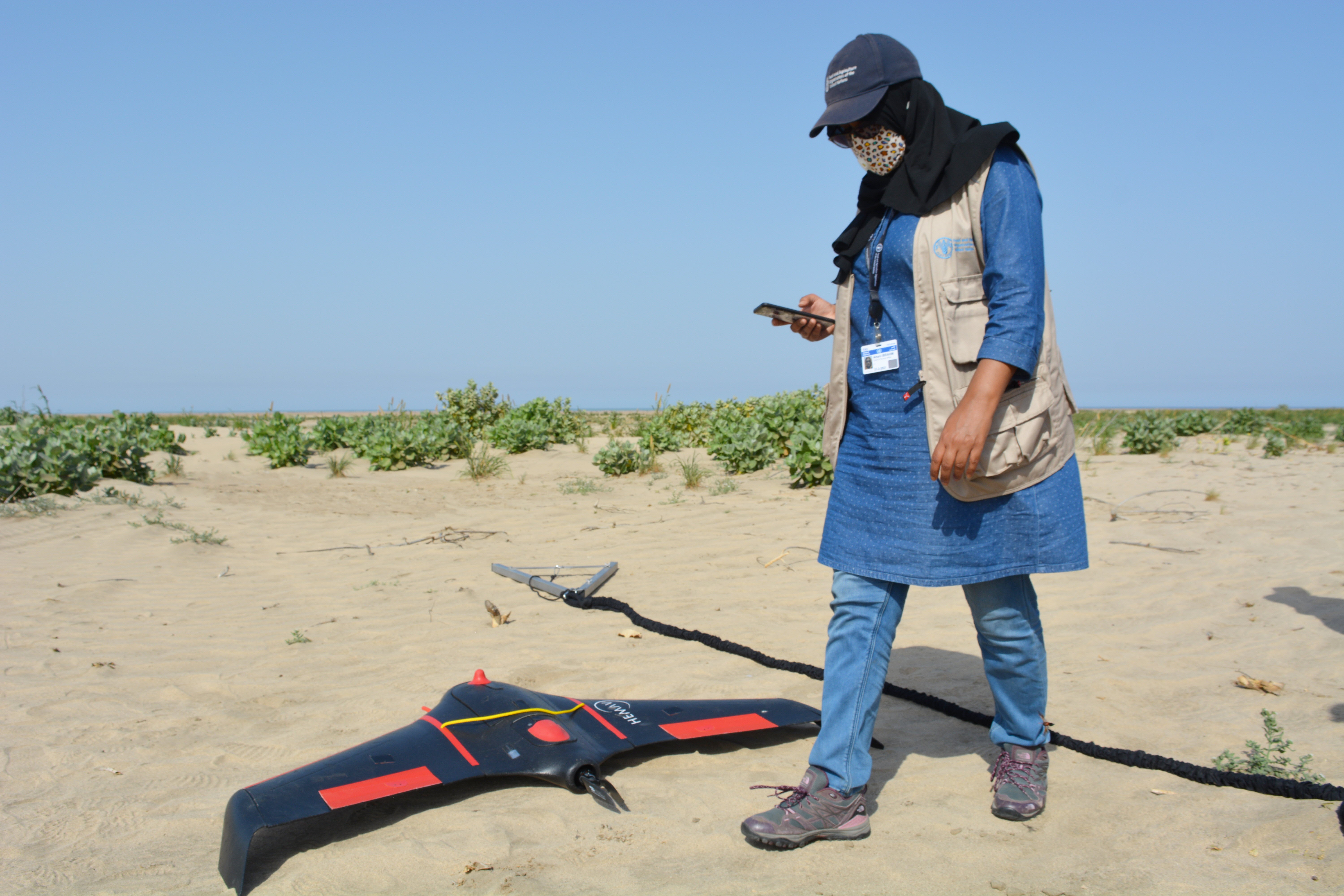
Drones
dLocust: long-range drone for mapping vegetation and detecting locusts