Highlighted Products
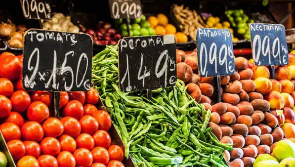
Food Prices
The Data Lab monitors daily food prices to warn about possible anomalous dynamics, using analytical and visual tools. Moreover, the Data Lab nowcasts official food consumer price indices, based on daily prices and other high-frequency indicators.

Food Systems Summit Analysis
The Data Lab developed an interactive application that analyses the main priorities and interventions found in the National Pathways' action plans published by countries in the context of the 2021 UN Food Systems Summit.
Food Loss and Waste Database
To continuously update the Food Loss and Waste database, the Data Lab scrapes the web to automatically identify openly accessible reports and studies measuring food loss and waste, and uses natural language processing (NLP) procedures to identify food products, stages of the value chain, and geographical areas, and quantities.

Topics Explorer
The Data Lab monitors topics covered by the global press that are related to — and have an impact on — the Sustainable Development Goals (SDGs), such as food security, climate change, and food losses and waste. It provides indicators of sentiment and popularity of the topics in many countries of the world, allowing automated analysis.
Data Lab Trends
Data Lab Trends analyses the popularity of search queries related to food security and nutrition and agrifood system transformation, over the articles gathered from media outlets across various countries and languages. With this tool, the user can search for any topic to visualize its trend over time and its geographic distribution.