Activities
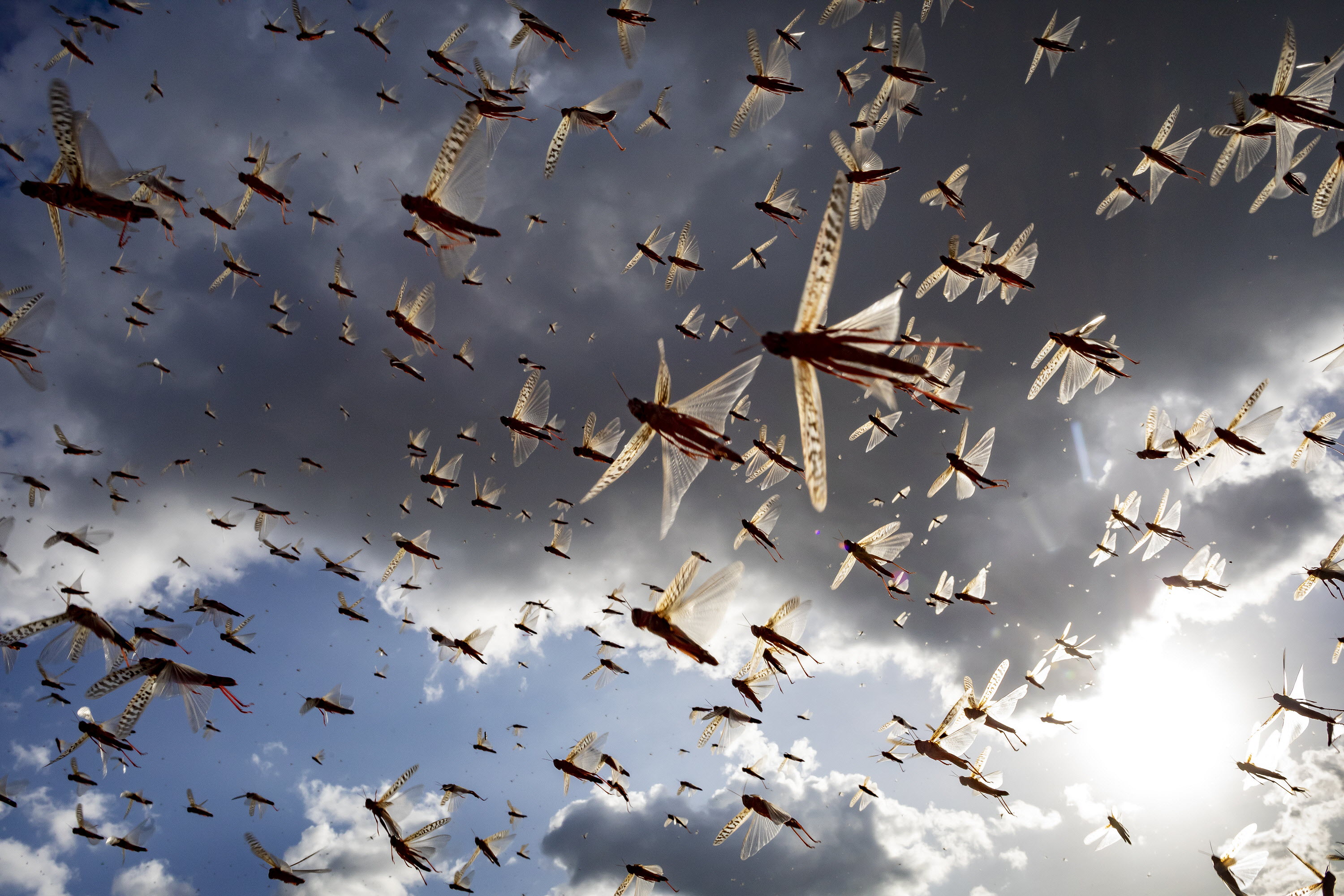
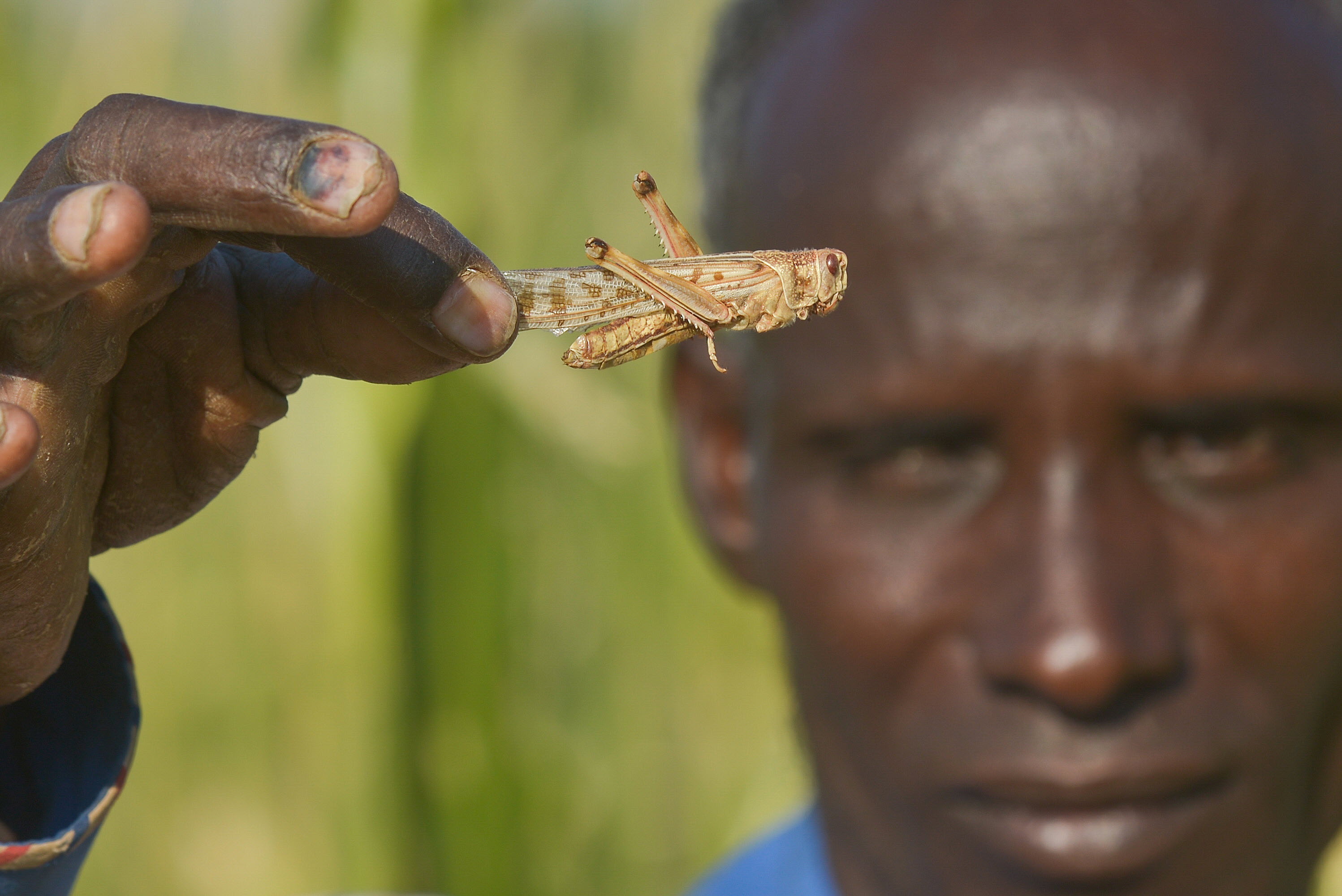
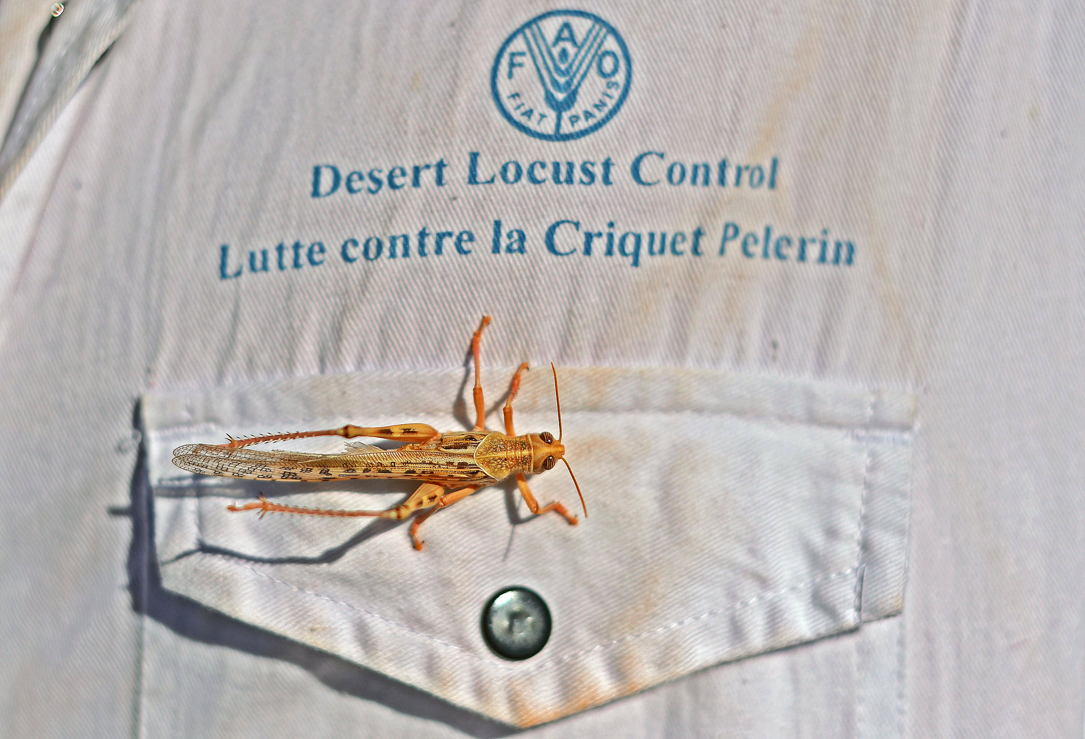
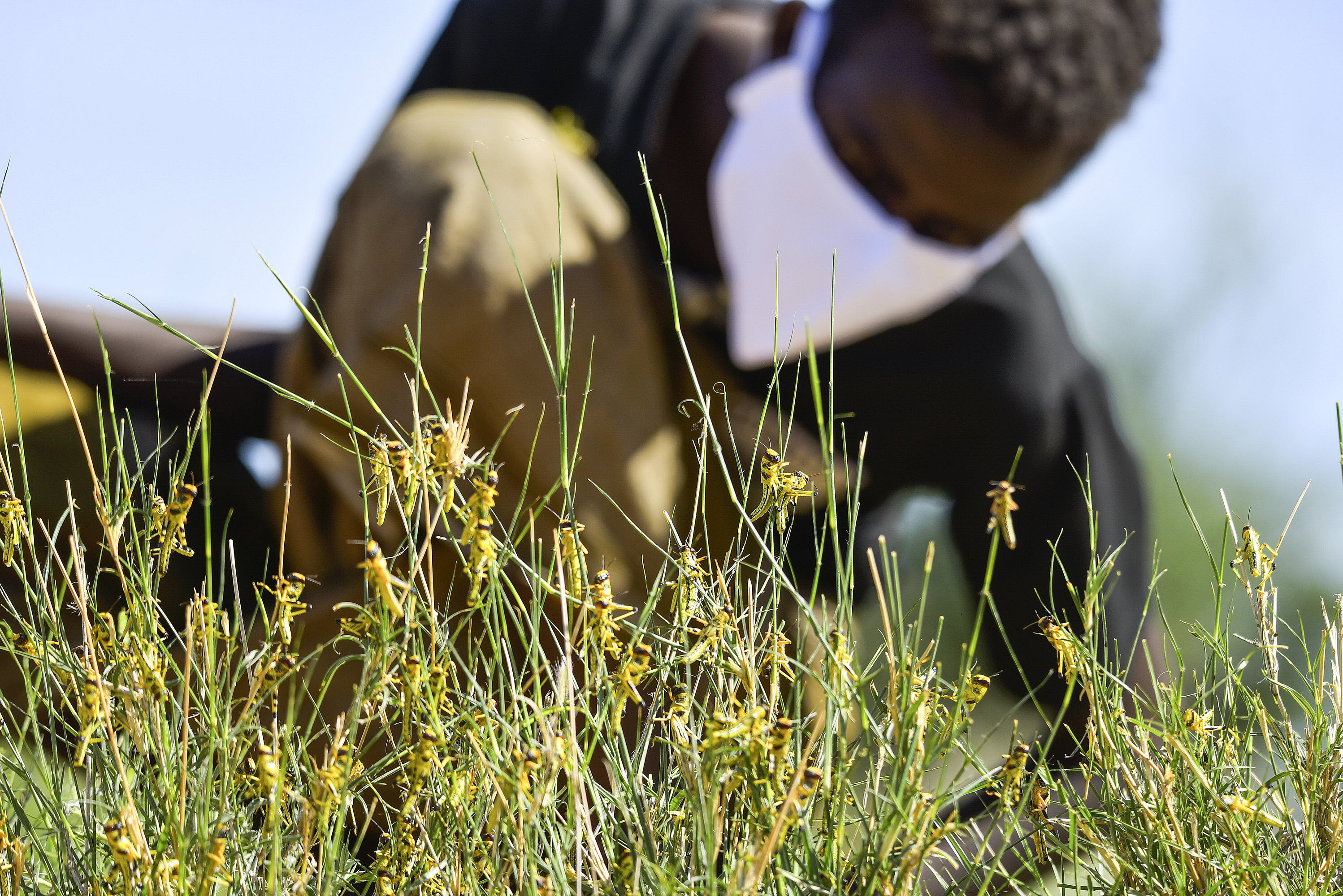
Over the years, FAO has carried out various activities in desert locust early warning and prevention. The Locust Watch provides information on the activities aimed at strengthening the national and regional capacities of the affected countries to monitor, prevent, and manage the Desert Locust.
This is useful in understanding the locust behavior, environmental conditions that can influence locust life cycles, and tested and proven locust control and management practices used in different regions as well as adopting innovative approaches in monitoring and controlling desert locust.
Climate Change
The potential impacts of climate change are under investigation. These pages will be continually updated as new information becomes available.
Desert Locust Information Service (DLIS)
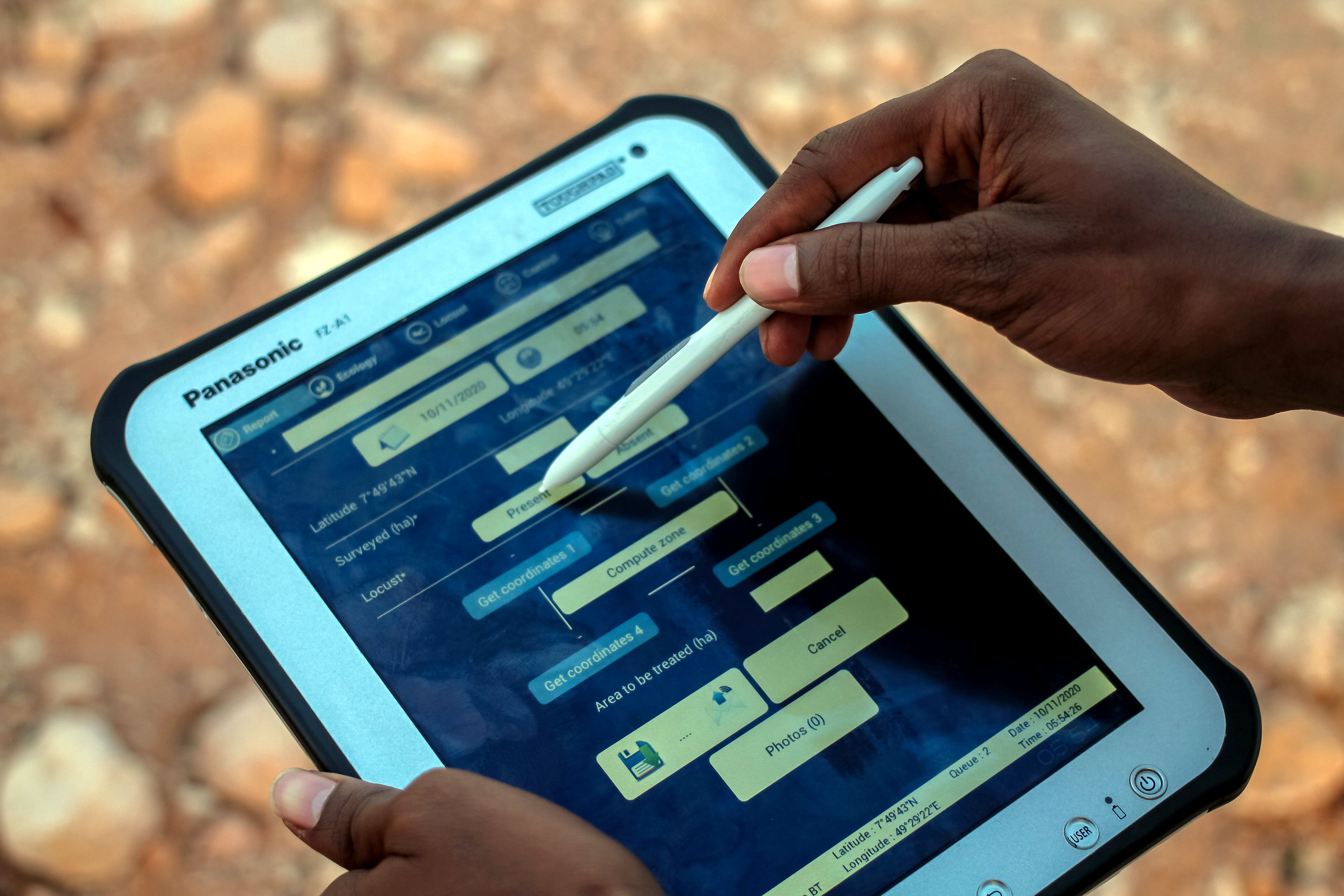
eLocust3: updated field data entry & transmission
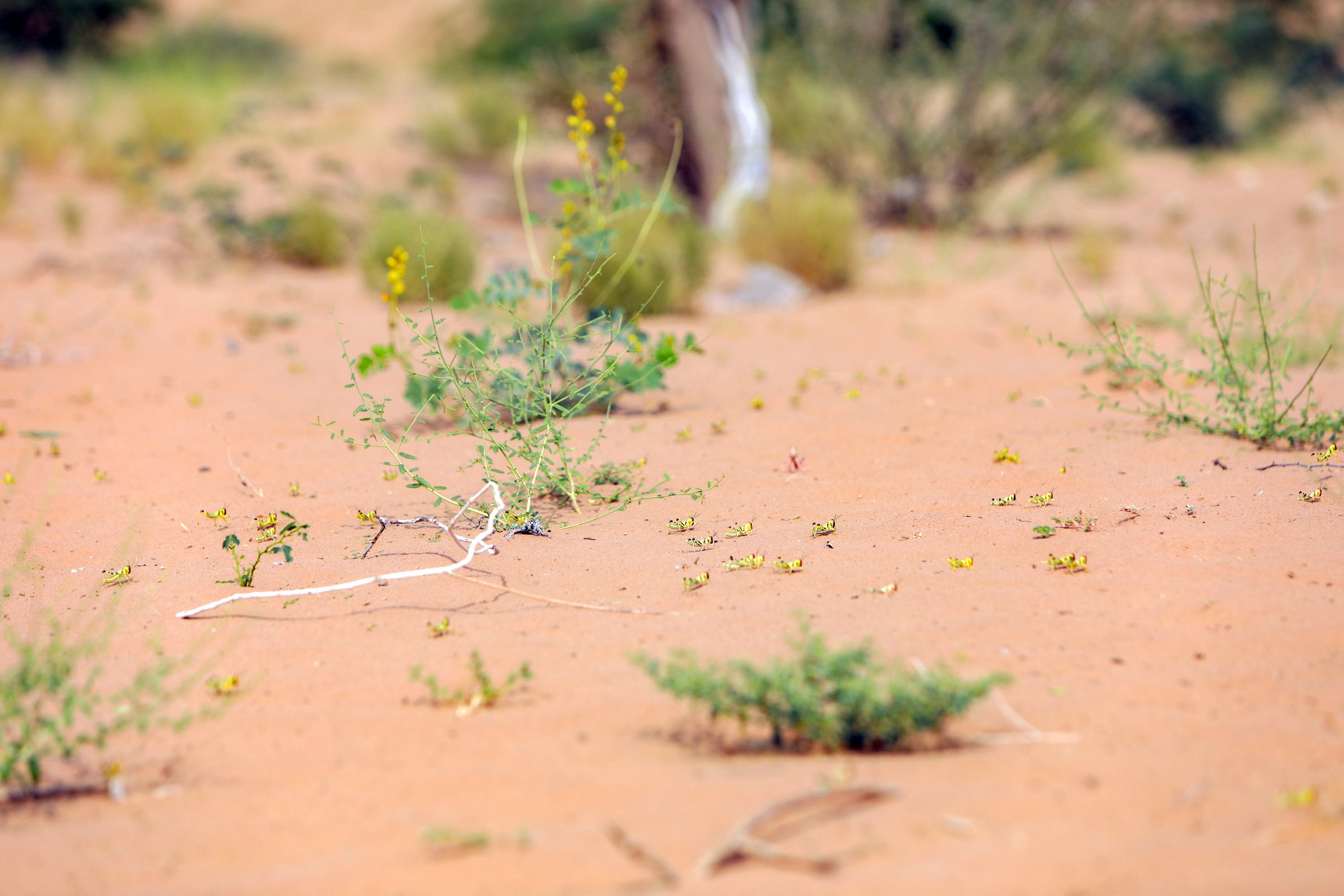
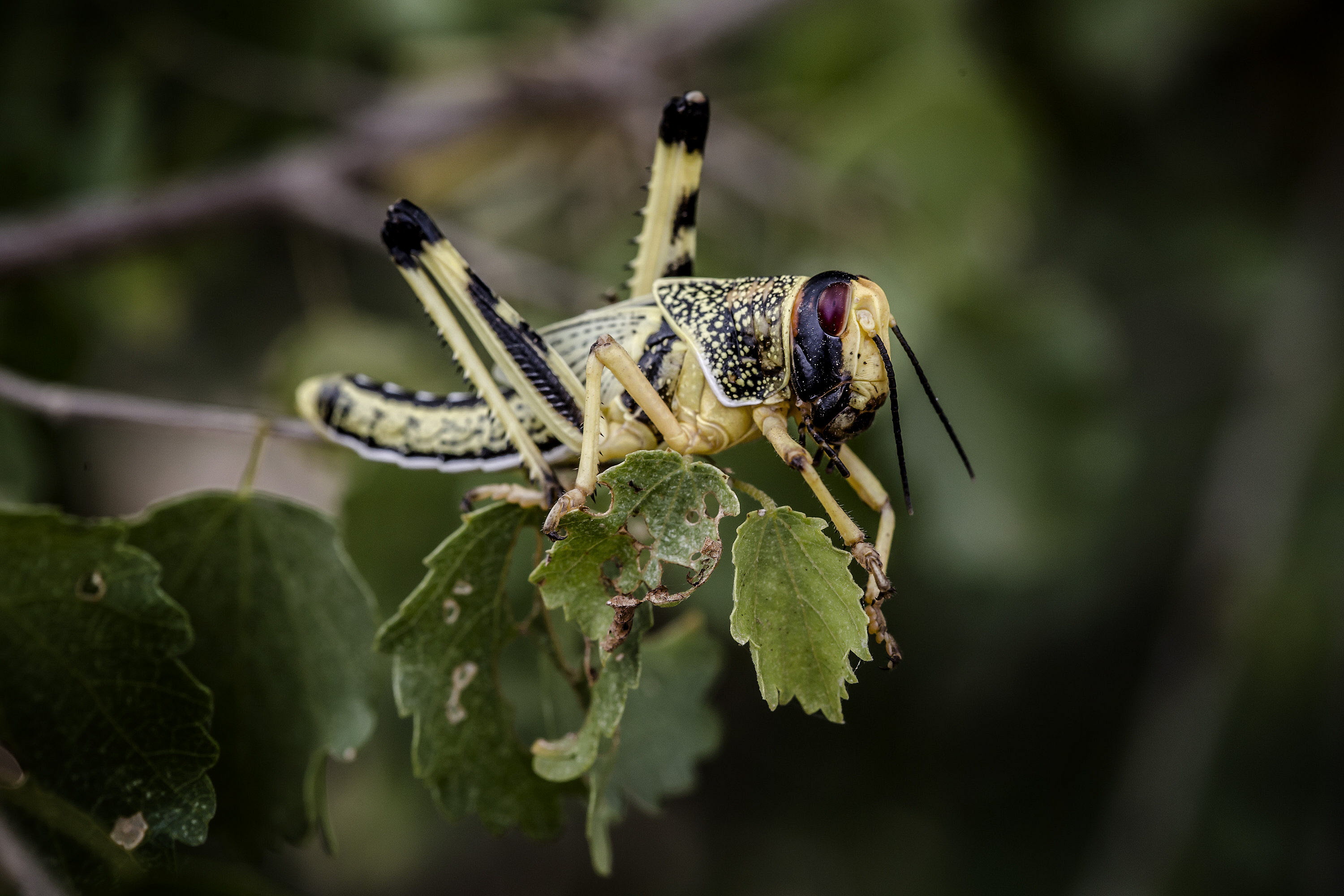
eLocust3 is a handheld device used by national field officers during survey and control operations in countries affected by the Desert Locust
Early Warning
The basic components that are required for any early warning system to be effective and reliable
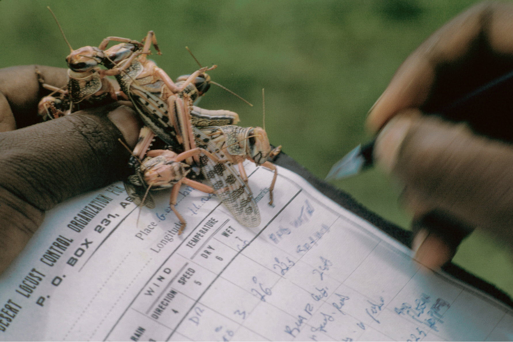
Desert Locust Information Service
The Desert Locust Information Service (DLIS) at FAO Headquarters (Rome, Italy)
eLocust2: field data entry & transmission
Handheld device for locust officers to record survey and control results in the field and transmit them via satellite to their National Locust Centres
Google Earth Engine
Innovative Google technology and free new tools: Google Earth Pro, My Maps, Fusion Tables, and Google Earth Engine, already used by FAO Forestry and being extended for Desert Locust
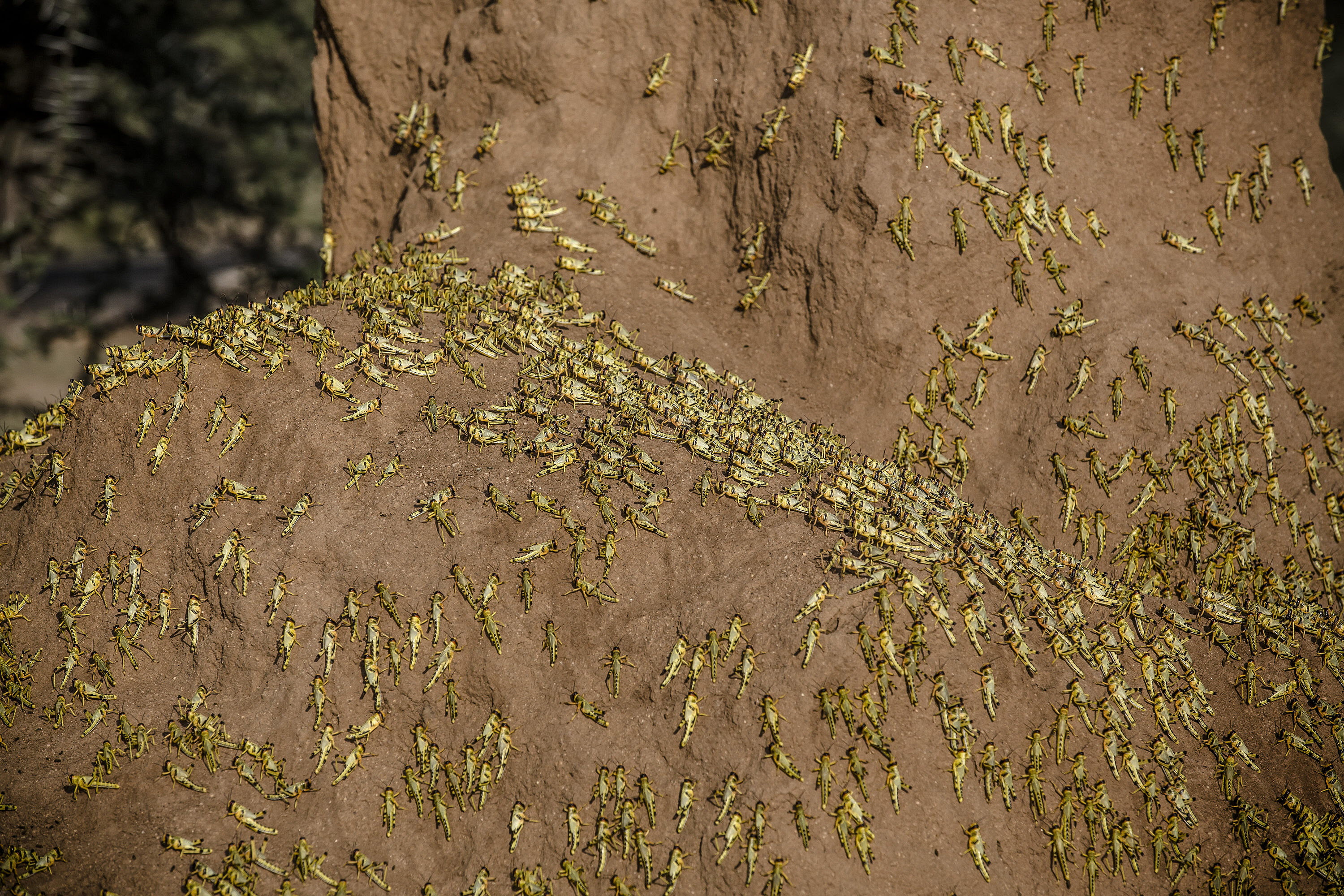
MODIS
A dynamic map that shows where vegetation is present in the desert and how long it has been green to better monitor Desert Locusts habitats
Innovation
FAO's Desert Locust Information Service (DLIS) is engaged with three dozen academic, research, and private sector partners to continually innovate and harness the latest cutting-edge technologies for improving Desert Locust early warning. The goal is to provide more accurate advice and guidance earlier while streamlining procedures and simplifying messaging. A number of new technologies have been integrated into DLIS and the national locust programmes.
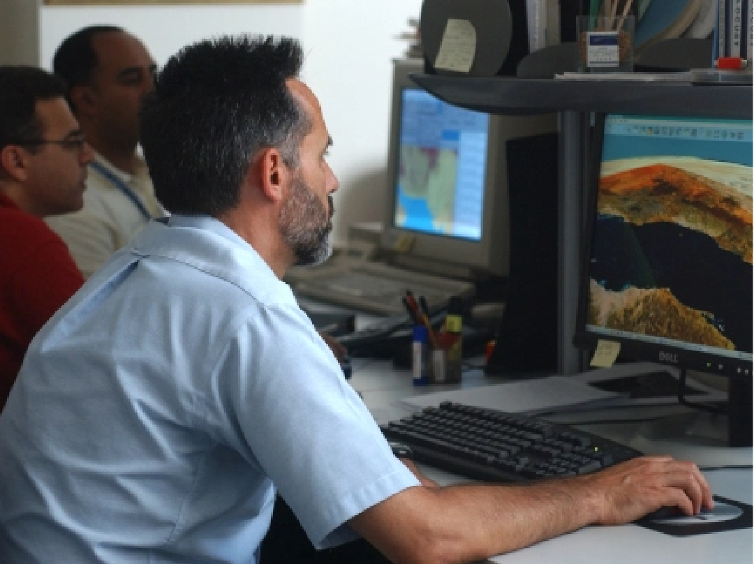
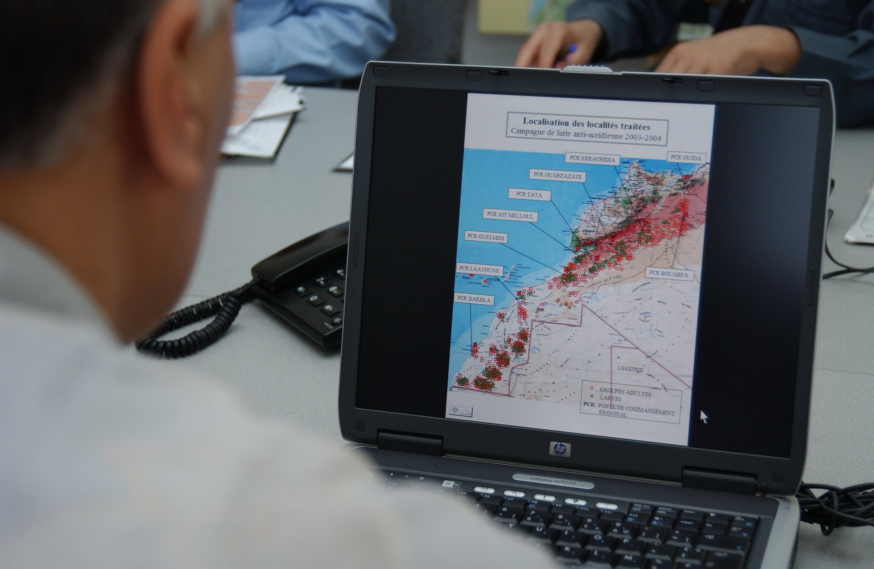
GIS
RAMSES & SWARMS GIS: managing and analysing geo-spatial data
Models
Estimating locust development rates, migration, 3D, and optimal response
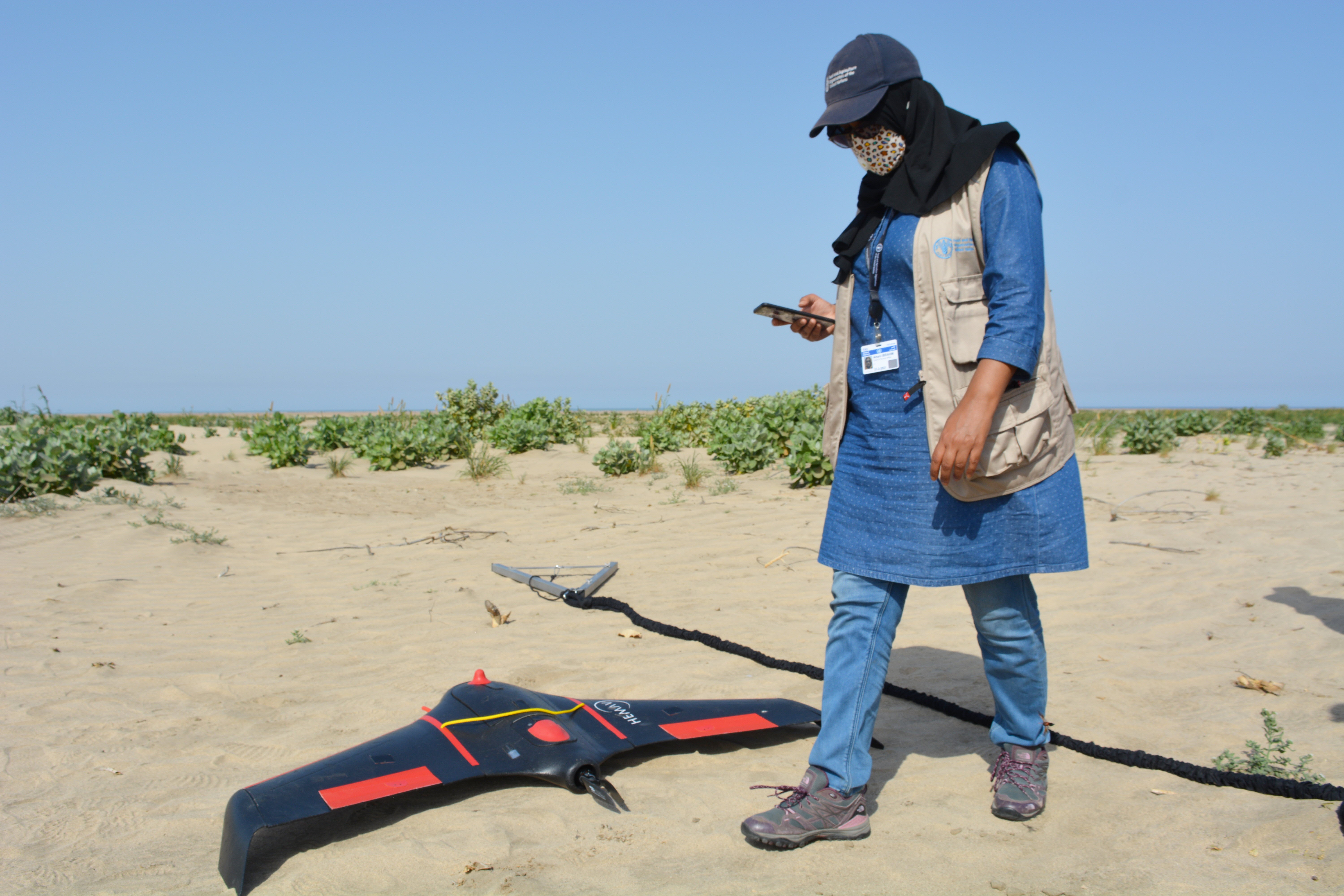
Drones
dLocust: long-range drone for mapping vegetation and detecting locusts

Digital tools
eLocust3 suite: real-time data transmission from the field to national locust centres
Earth observation
Monitoring rainfall, vegetation and soil moisture from space
Emergency operations
EarthRanger: tracking aerial survey and control operation
Climate predictions
Using six-month rainfall and temperature predictions to forecast locust developments
Environment and human health
Biopesticides
Advocacy and operational use of biopesticides in locust control
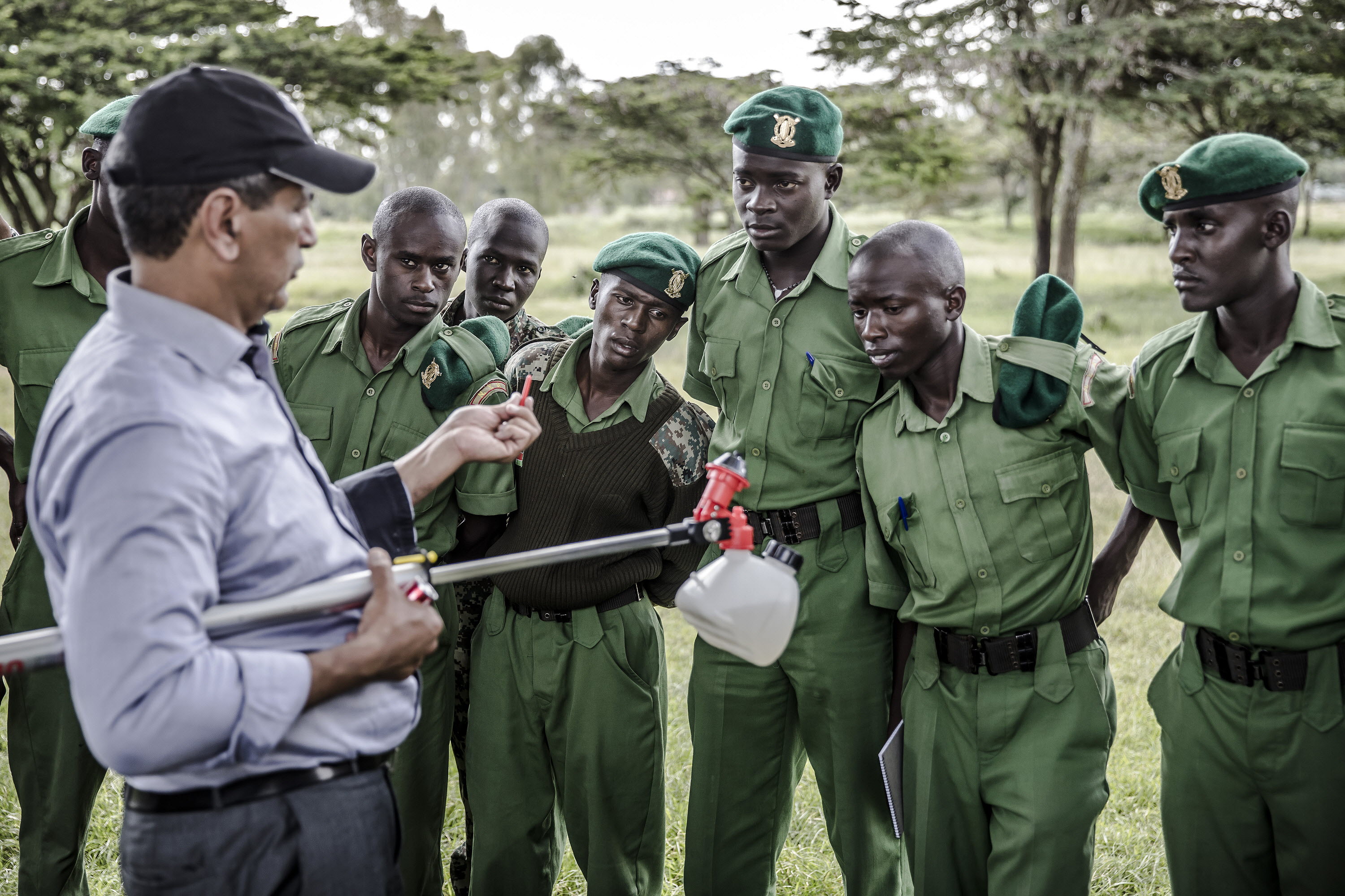
Safety and environmental precautions
Safety and environmental precautions in locust control
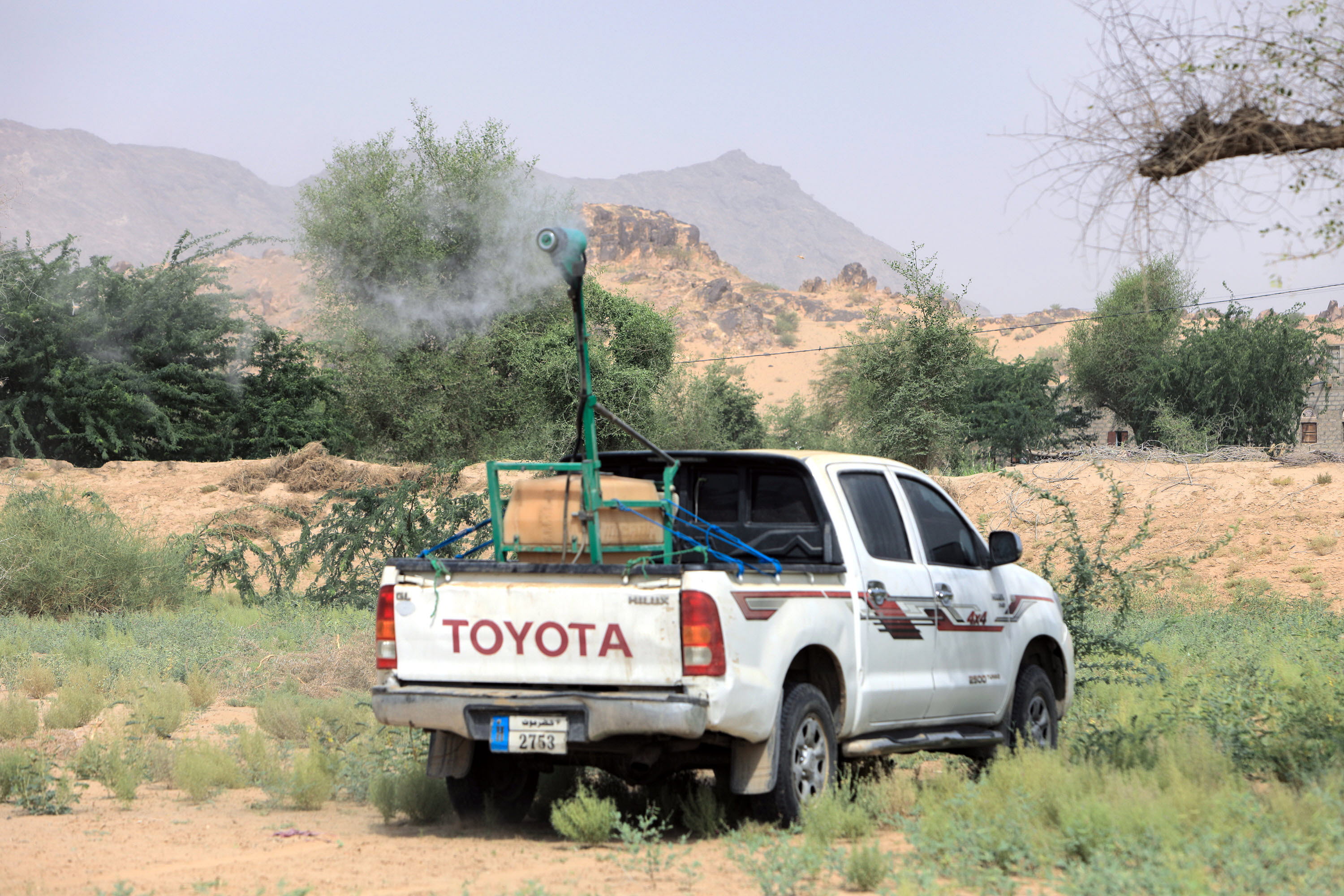
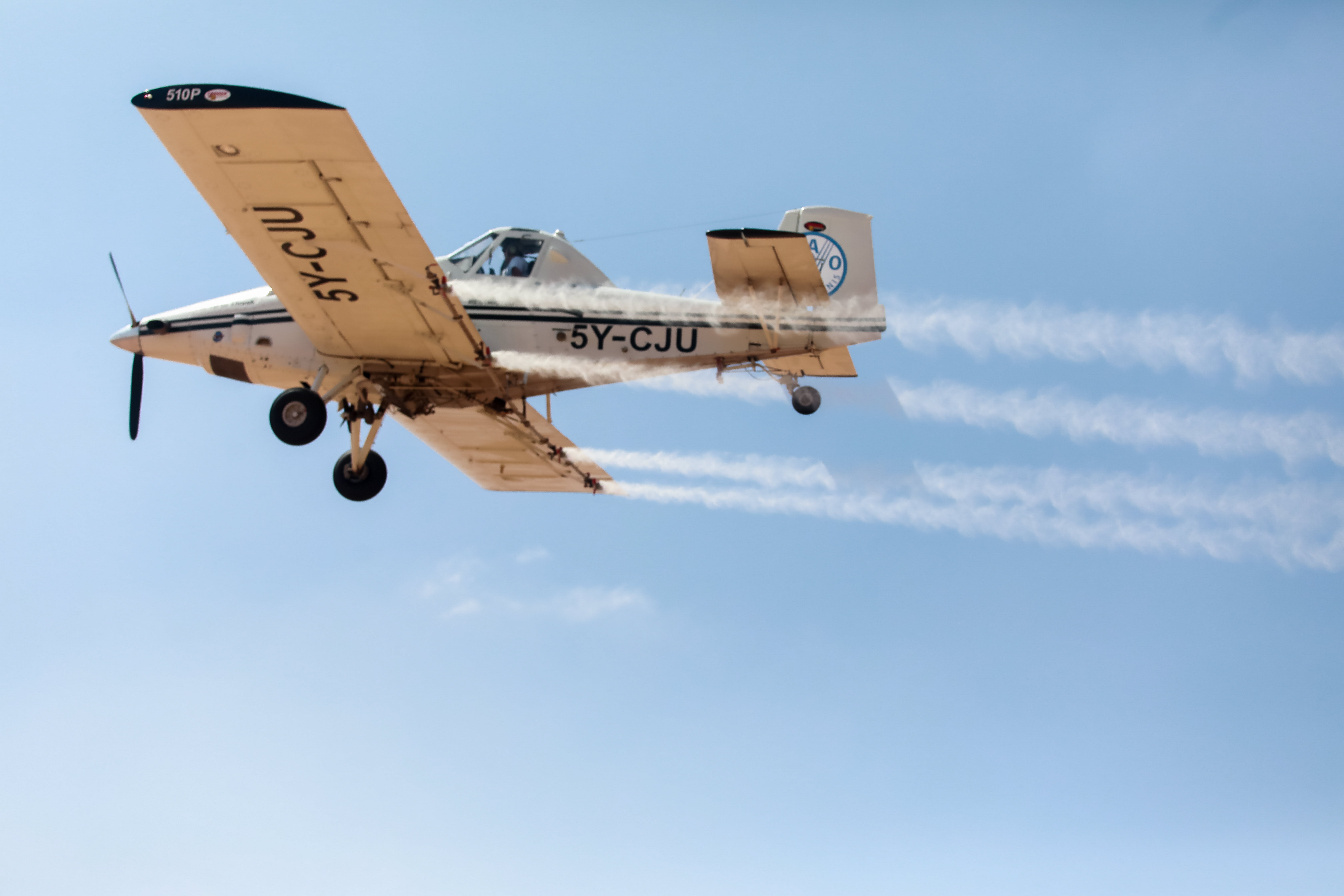
Ultra-low volume spraying
Ultra-low volume (ULV) spraying for locust control
Locust technical groups
Locusts and Transboundary Plant Pests and Diseases (NSPMD)
The team leads the efforts in developing and implementing mechanisms to mitigate the potential impact of transboundary plant pests and diseases.