Winner of the MedFish4Ever Award on innovative practices
in the fight against illegal, unreported and unregulated fishing
Remote sensing data shedding light on the Mediterranean fishing footprint
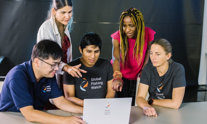
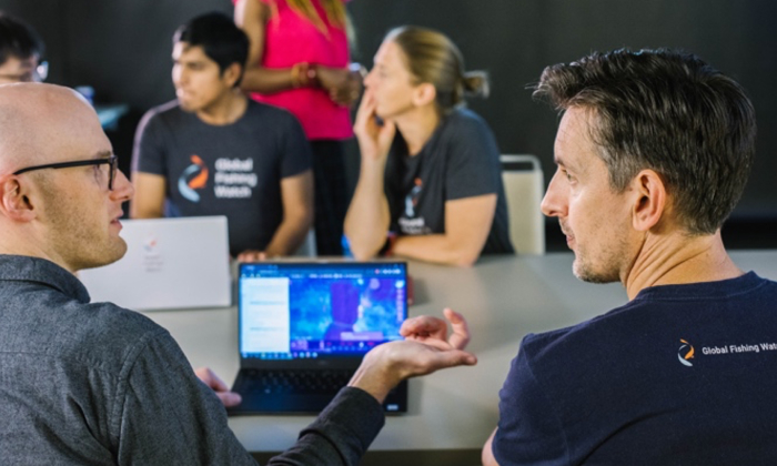
Global Fishing Watch
What is the project?
In the Mediterranean and the Black Sea, small-scale fishing boats make up 82 percent of the fleet, and many of them do not have tracking systems installed. This means publicly available tracking information is not sufficient to provide a clear picture of regional fishing activity. Satellite radar is one way to identify fishing vessels that do not appear on other tracking systems: their metal hulls reflect radar signals while sea water does not, so a metal boat shows up against the surface, even through cloud cover. But radar alone cannot determine the apparent activities of the objects it detects. Global Fishing Watch’s innovation consists of taking radar imagery and analysing it with automated machine learning techniques to filter out the “noise” – commercial shipping lanes, static objects, vessels outside fishing areas, etc. – revealing a clear picture of the scale of the regional “dark fleet” presence.

Why does this matter?
The use of remote sensing data as a tool to visualize fishing footprint aligns with several priorities of the GFCM 2030 Strategy and is not solely related to illegal, unreported and unregulated (IUU) fishing. Concerning Target 1, remote analyses can provide spatial and temporal information to help experts in planning and evaluating management scenarios, giving a strong foundation for informed decision-making. Adaptive management is supported by the data arriving in nearly real-time, with a delay of only 72 hours, allowing for timely assessment of the effectiveness of measures implemented and of adjustments made. And, of course, Global Fishing Watch’s innovation supports Target 2, aiming to “eradicate IUU fishing”: as well as detecting vessels that do not broadcast their presence, it can reveal potential illicit activities taking place in restricted areas, providing intelligence that can be shared with joint inspection schemes, patrols and other competent authorities to best direct enforcement resources at sea.
How is the project impactful?
Global Fishing Watch’s project provides a more detailed picture of the fishing activities taking place at sea at any given time. This information has never before been available across the vast areas of the Mediterranean that have no public tracking data, and its potential for fisheries managers is evident. Along with revealing overall fishing footprint, the tool can be used to monitor locations of particular management interest, such as fisheries restricted areas, essential fish habitats and vulnerable marine ecosystems, providing insight on potential IUU activities taking place.
Location and possibility of replication in the GFCM area of application
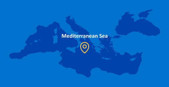
The remote sensing system is applicable across the whole GFCM area of application – indeed, as Global Fishing Watch’s name implies, it can be used in fisheries all over the world. The priority of the team behind its development is now to support countries and learn more about their challenges to inform possible applications of the technology in parallel with existing monitoring tools.
