Resources
FAO has developed a number of online tools and resources to assist countries in using EOSTAT.

Map story
FAO-EOSTAT: EO data for Official Agricultural Statistics
Building capacity in Senegal, Uganda, Afghanistan, Lesotho

.jpg?sfvrsn=9dad66bf_1)
Online tool
Land Cover Mapper online tool (Lesotho)
Interactive EOSTAT tool for exploring land cover and environmental indicators in Lesotho

Online tool
Crop Mapper online tool (Ecuador)
EOSTAT tool for estimating crop yield for different crops in Ecuador

Uso de teledetección en las estadísticas e informes agrícolas en América Latina. Estado de situación
2024
This report, a joint effort by IICA, NASA Harvest, University of Maryland, AMA, and FAO, focuses on assessing the adoption and effectiveness of Earth...

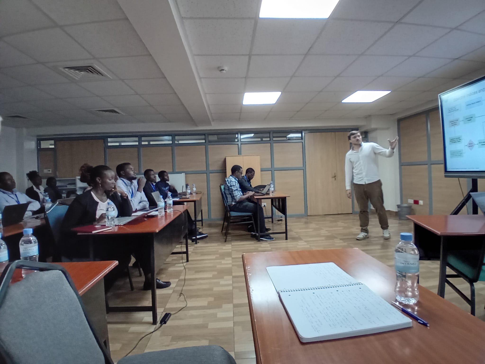
FAO-EOSTAT project training
2023
Launched in 2021 by the Food and Agriculture Organization of the United Nations (FAO), the EOSTAT project uses next generation Earth observation tools...

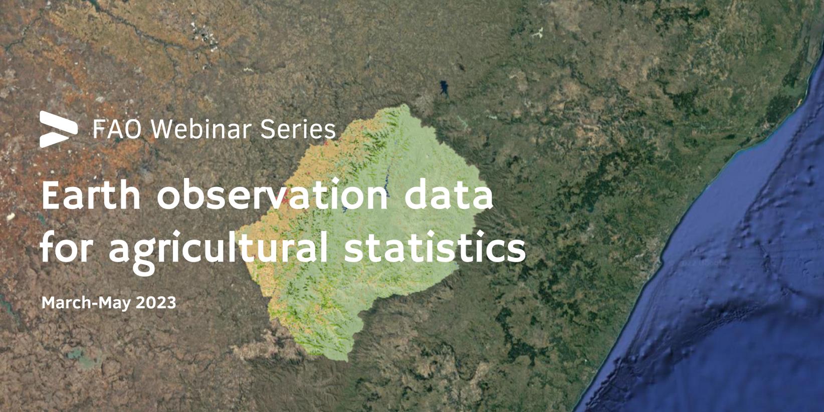
Lesotho: Land cover atlas 2017–2023
2023
The NextGen-Atlas of Lesotho provides information on the land cover distribution at multiple geographical levels and across the time frame 2017-2022:...
Highlights

FAO’s Earth Observation for Agricultural Statistics initiative scoops ICT Innovator of the Year award
28/11/2025

Strengthening national capacity in crop monitoring systems in Zimbabwe
01/10/2025

Zimbabwe scales up satellite-based agricultural data systems with launch of EOSTAT Phase II
13/06/2025
Events
Where we work
Our team
FAO
Dr. Lorenzo De Simone graduated in forestry science in 2001 and specialized in Earth Observations during his research work at University of California Santa Barbara, at the National Center for Geographic Information and Analysis, the University of Federico II Naples, and at the University of Basilicata in Italy where he obtained his PhD in Agriculture Engineering in 2006.
Dr De Simone has worked for FAO for 15 years in his capacity as earth observation expert in the area of land cover/use mapping, crop type mapping and yield estimation, and agro-ecological modelling. He is responsible for the supporting technical capacity in national statistics offices on the use of EO for crop statistics and is currently leading the implementation of national pilots in 21 countries in Latin America and the Caribbean, Africa, the Middle east, and in South Eastern Asia.
Dr. De Simone is appointed as Technical Adviser for Geospatial within the Office of the Chief Statistician in FAO and is leading the Earth Observations for Statistics (EOSTAT) aiming at supporting the modernization of official crop statistics in NSOs.
Since 2020 Dr De Simone is co-chairing with the World Bank and INEGI the UN Task Team on EO for Agricultural Statistics under the UN Committee of Experts on Big Data (UNCBD), is the Chair of the Board of the EO4SDG initiative of GEO, and is active member of the GEOGLAM task teams on validation of land cover products, in situ data and capacity building.
Vivian Kerubo Ondieki is a Geospatial Data Scientist in the team of the Office of the Chief Statistician of the Food and Agriculture Organization (FAO) where she works primarily on building workflows using remote sensing, and machine learning techniques for crop and land cover monitoring. Vivian holds a Master’s degree in Geoinformatics and Geodata science from University of specializing on applying Machine learning and deep learning technologies on Satellite time series data
Phibion Chiwara is a Remote Sensing and GIS expert with more than 15 years’ experience working as a researcher, university lecturer and a consultant.
He gained vast experience working in both government and donor-funded development projects that investigate human-landscape interaction, particularly in the crop-livestock production systems of Zimbabwe.
He has done research to unmask the implications of land use and land cover changes on rangeland land degradation, water management and carbon sequestration.
In 2012 he won the prestigious Erasmus Mundus Joint Scholarship and graduated with a double masters in Geo-information Science and Earth Observation for Environmental Modelling and Management from the University of Southampton and Lund University. He is also a holder of a BSc in Geography and Environmental Studies from Midlands State University, Zimbabwe.
His interests are grounded on his passion to utilise geospatial technologies for social good.
Prof. Dr. Gilberto Câmara is a Brazilian researcher in Geoinformatics, GIScience, Spatial Analysis, and Land Use Modelling, who is a Senior Research Fellow at Brazil's National Institute for Space Research (INPE).
He is internationally recognized for promoting free access for geospatial data and for setting up an efficient satellite monitoring of the Brazilian Amazon rainforest. After retiring from INPE in June 2016 after 35 years of work, he continues to conduct R&D activities at INPE as a Senior Research Fellow.
He was Director of the Secretariat of the Group on Earth Observations (GEO), for the period July 2018 to June 2021. In this function, he applied his vision on open knowledge to help developing nations to best use Earth observation data for improving societal well-being and sustainable development practices.
As recognition for his work, he was inducted as a Doctor honoris causa from the University of Münster (Germany) and as a Chevalier (Knight) of the Ordre National du Mérite of France. He received the Global Citizen Award of the Global Spatial Data Infrastructure Association. He is also a Fellow of the Faculty of Geoinformation Science and Earth Observation (ITC) of the University of Twente (Netherlands) and a Senior Member of the Association for Computing Machinery (ACM). He received the William T. Pecora award from NASA and USGS for "leadership to the broad and open access to remote sensing data".
Muhammad Fahad is a GIS and Remote Sensing professional having more than 12 years of experience working in different roles and three different geographic locations as project manager, consultant, data analyst, and GIS/Geomatics Engineer.
His interests range from Geo-Spatial technology to business insights and management. He is also a research scholar and published several scientific research papers in international journals and presented in different international conferences.
Michigan State University
Bruno Basso is John A. Hannah Distinguished Professor and MSU Foundation Professor of Earth and Environmental Sciences at Michigan State University.
He is an agroecosystem scientist and a crop systems modeler with interest in long-term sustainability of agricultural systems, digital agriculture, circular bioeconomy.
His research focuses on assessing and modeling spatial and temporal variability of crop yield, soil organic carbon, GHG emission, water, and nutrients fluxes across agricultural landscapes under current and future climates.
He holds global patents on AI, remote sensing, and crop model systems to evaluate cropland productivity and environmental sustainability.
UC Louvain
Sophie Bontemps is a senior scientist and project manager in remote sensing at the Université catholique de Louvain in Belgium.
Sophie has worked as a project manager of the ESA Sen2-Agri, Sen4CAP, and Sen4Stat projects. She is also involved in establishing in situ data collection guidelines and capacity-building activities, and she acts as co-chair of the CEOS Land Product Validation Subgroup, focusing on land cover. She is also part of the GEOGLAM Executive Committee.
Pierre Defourny received the Ph.D. degree in agricultural engineering from the Université catholique de Louvain (UCLouvain), Louvain-la-Neuve, Belgium, in 1992.
He spent several years in remote sensing research in Africa, Southeast Asia, and Central America.
He is the Founding President of the Earth and Life Institute.
He is currently a Full Professor with UCLouvain. He also leads the Geomatics Research Laboratory with a special focus on open source system development to exploit Sentinel missions for agriculture and forestry monitoring.
His research interests include developing monitoring systems of land cover/land-use change across spatial and temporal scales.

External resources
Contact
Lorenzo de Simone,
Project Lead




.png?sfvrsn=d90cfe91_1)
.jpg?sfvrsn=34e4c86a_1)
