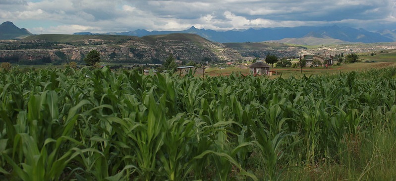
Next generation Earth Observation tools help monitor land cover change in Lesotho

©FAOLesotho/Elisabeth Tsehlo
Information from satellites is being used in a new way to help Lesotho develop and maintain a comprehensive next generation land cover database, as part of a collaboration between FAO experts, the German Agency for International Cooperation (GIZ) and the Government of Lesotho. FAO’s EOSTAT project falls under the national Integrated Catchment Management (ICM) programme, which aims to increase the country’s resilience to climate change, halt land degradation and support land restoration policies and programmes.
EOSTAT uses next generation Earth observation tools to monitor land cover change in Lesotho. The innovative approach developed by FAO relies on free of charge Earth observation data, vegetation and climate modeling, as well as field survey data to build the Government of Lesotho’s capacity to produce official annual land cover map that are standardized, accurate, granular and validated.
The approach provides a more detailed and reliable understanding of Lesotho’s land use and land cover changes compared to traditional methods, which rely on manual field surveys and are limited in scale and scope. It also introduces analysis of satellite images using machine learning to assess land cover change in an objective and quantitative manner as opposed to methods based on visual interpretation which are affected by subjectivity and lack of validation on the ground.
The results have been demonstrated in a series of national workshops involving all relevant stakeholders, presented in international conferences and published in renowned and peer reviewed international scientific journals. Moreover, this initiative is complemented by the delivery of a comprehensive training programme, which empowered a large number of local institutions.
Launched in 2021, FAO’s EOSTAT project is funded by the multi donor consortium (European Union and German Agency for International Cooperation, GIZ), and the Government of Lesotho. Thanks to this partnership, EOSTAT has trained 61 national staff from different institutions and established six annual land cover baselines (2017–2022), which are now being used for sustainable land management interventions and broader natural resource management activities.
The solution also has the potential to produce national land cover and land cover change statistics and to report on the Mountain Green Cover Index (SDG Indicator 15.4.2), for which FAO is a custodian agency.
Furthermore, the solution has enabled to connect the land cover baselines with historical archives of satellite images (Landsat, Modis, Sentinel) allowing for the analysis of trends in indicators of sustainability.
EOSTAT’s main achievements in a snapshot
- Next Generation Atlas 2017-2022
- Next Generation Land Cover Database 2017-2022
- Land Cover Mapping tool (EOSTAT Land Cover Mapper), which allows the national experts to produce annual land cover maps
- Land Cover Statistical Dashboard, which allows end users to extract land cover and land cover change statistics
- Development of ecosystem health indicators accessible through the Land Cover Dashboard
- Trained 61 staff of relevant national institution
- Support to the institutionalization of the new land cover mapping capacity
Next steps
Looking ahead, the project offers the possibility for other countries to adopt such a solution and provides the foundations for the development of specific applications for agriculture and food security, including Disaster Risk Reduction, Smart Agriculture, and Ecosystem Service Accounting.
FAO and its partners are now seizing the opportunity to expand the project to other countries in Africa to make agrifood systems more resilient and achieve Zero Hunger.
Technical partners:
- European Space Agency
- University of Louvain
Resource partners:
- European Union
- German Agency for International Cooperation (GIZ)
- De Simone, L.; Ouellette, W.; Gennari, P. Operational Use of EO Data for National Land Cover Official Statistics in Lesotho. Remote Sens. 2022, 14, 3294. https://doi.org/10.3390/rs14143294
- Land Cover Atlas: pending online publication, expected date April 2023 (Story map: https://storymaps.arcgis.com/stories/0a4c9ce579e64314b3729af1b9752560)
- Next Generation Land Cover Presentation (PPT)
