What can WaPOR data be used for?
WaPOR data is used in a growing number of geographies and contexts for:
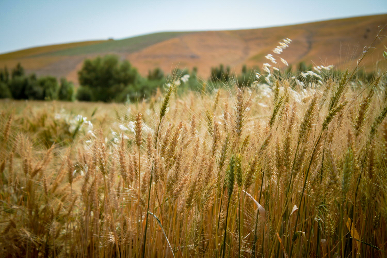
Assessing/monitoring agricultural production
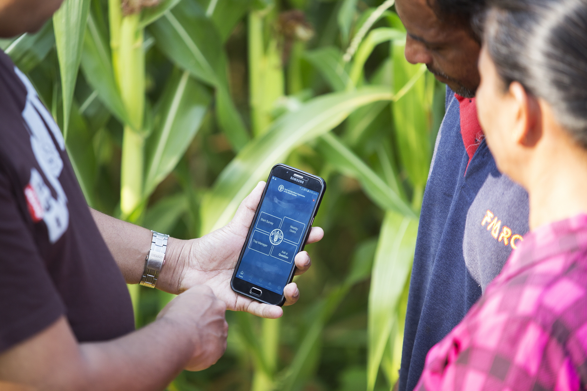
Monitoring irrigation and supporting its improvement
WaPOR applications catalogue
An ever-growing compilation of examples of how WaPOR data is used by its community of users can be found in the dedicated catalogue.
An ever-growing compilation of examples of how WaPOR data is used by its community of users can be found in the dedicated catalogue.
If you have used WaPOR data, your work can be featured in this catalogue where it can help other users. To do so, please fill up this form.