Currently in its second phase, WaPOR 2, the project builds on the efforts and accomplishments that were obtained in the first phase, WaPOR 1, which ended in January 2021.
Achieving Food Security while using water resources in a sustainable manner is a major challenge for us and the next generations. That is especially true in the context of our changing climate that is causing more frequent and intense extreme weather events that affect agricultural production directly, such as floods and droughts. Episodes of drought have increased over the past two decades in many regions around the world, including Africa and the Near East, and the trend is expected to continue.
Irrigated agriculture is far less vulnerable to variations and changes in climate than rainfed agriculture, resulting in generally more resilient societies as long as a reliable water supply can be secured. Additionally, with yields that can be significantly higher than with rainfed agriculture under some water management regimes, it becomes an unavoidable solution to the challenge aforementioned.
Agriculture being a key water user, careful monitoring of water productivity in this sector and exploring opportunities to increase it are imperative measures to counter the increased pressure that it puts on water resources. Yet, that is not an easy task and it can be quite data-intensive, requiring timely and reliable information on the condition and water consumption of irrigated and rainfed food crops. Sound water management also has a central role to play in this; informed by reliable data, it can help build resilience in the face of increased risks to and demands on our food systems.
But how can we monitor the performance of water use in agriculture?
Developments in earth observation technology indicate that nowadays it is possible to monitor key data for sustainable agricultural production and natural resources management using satellite remote sensing. This brings about the need for a comprehensive operational methodology, both scientifically robust and effective at various scales.
WaPOR, FAO’s portal to monitor WAter Productivity through Open-access of Remotely sensed derived data, assists countries in monitoring water productivity, identifying water productivity gaps, proposing solutions to reduce these gaps and contributing to a sustainable increase of agricultural production. At the same time, it takes into account ecosystems and the equitable use of water resources, which should eventually lead to an overall reduction of water stress.
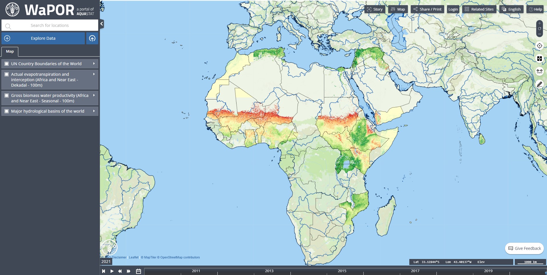
By providing near real time pixel information, WaPOR opens the door for service-providers to assist farmers in obtaining more reliable yields and improving their livelihoods. At the same time, irrigation authorities have access to information to modernize their irrigation schemes and government agencies are able to use this information to promote and increase the efficient use of their natural resources.
The first phase of the WaPOR project ran from 2016 to the end of 2020 and paved the way to the now ongoing second phase of the project with its major output which was the development of the database and portal that today constitute the backbone of the project, as well as some applications for the data.
The project aimed at creating an action framework to provide relevant and specific information on water and biomass status for stakeholders at different scales - from the policy level to the farm level - to develop solutions to sustainably increase agricultural land and water productivity.
The framework was based on robust state of the art remote sensing and Information and Communication Technologies, combined with in-situ data. It was meant to be used to assess the terrestrial soil water balance and related biomass production to monitor agricultural land and water productivity, as well as the uptake of carbon dioxide by vegetation.
The outputs of the project were the following:
- The development of a portal to monitor Water Productivity through Open-access of Remotely sensed derived data (WaPOR). This portal covers Africa and the Near East, with remotely sensed data, to monitor, in near real time, agricultural water and land productivity as well carbon dioxide uptake by vegetation.
- An assessment, in space and time, of agricultural water and land productivity, productivity gaps and capacity development to close these gaps.
- An assessment, through water accounting, of the consequences and sustainability of possible increases in water productivity in agriculture.
- Capacity development of stakeholders to increase water productivity in a sustainable manner.