Netherlands donates $7 million to improve water management in Near East and Africa
Remote sensing satellite imagery will help to identify areas where water use produces poor crops

All countries in North Africa and the Near East suffer from severe water scarcity, raising significant challenges for agriculture that are expected to be compounded by climate change.
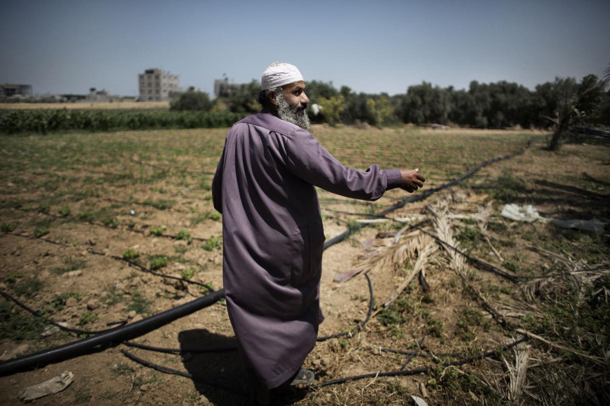
©Photo: ©FAO/Marco Longari
27 November 2015, Rome -- The Netherlands and FAO are expanding their collaboration in the area of water management with a $7 million donation by the Dutch government to support the use of remote sensing technology in helping water-scarce countries in the Near East and Africa monitor and improve the way they use water for crop production.
The additional donation brings the total budget up to $10 million for the Dutch-funded project that uses satellite data to find land areas where water use is not translating into optimal agricultural production, identify the source of the problem and recommend different planting and irrigation techniques.
"The project uses some of the most advanced technologies and takes into account the ecosystems and the equitable use of water resources," FAO Director-General José Graziano da Silva said at an event marking the extended agreement at FAO headquarters in Rome.
He highlighted the importance of the project on the eve of the UN climate conference in Paris, noting the added stress that climate change places on farmers in the way they manage limited water resources.
“We all know that water is becoming scarce while at the same time it is crucial to producing enough good food for a growing number of people,” said Permanent Representative of the Netherlands to FAO Gerda Verburg.
“With this innovative remote sense approach to improving water productivity we give farmers a concrete tool to take decisions about the best use of water and what kind of crops to grow -- but also about the growing season so that they can target their investments,” she added.
The data tools created under the project, which will be freely available to governments and farmers alike, also aim to help policymakers in taking evidence-based policy decisions.
Some 70 percent of all freshwater withdrawn worldwide is used for agriculture – a figure that rises to as much as 95 percent in certain developing countries, posing major challenges to the sustainability of food production.
Growing scarcity of and competition for water also threaten to derail poverty alleviation efforts, especially in semi-arid rural areas where access to for this precious resource to grow food and rear livestock is essential for stable livelihoods.
How it works
A key component of the four-year program is an updated data portal of interpreted remote sensing satellite images that show the state of cropped areas in near real-time.
Based on this information --which incorporates rainfall and crop transpiration data, among other inputs-- experts can quickly assess problem areas where water and land productivity are low, meaning these areas use relatively high amounts of scarce natural resources for minimal yield.
Using remote sensing rather than country survey data offers a unified measuring tool that allows for easy comparisons between the productivity of land areas -- from the country level to the farm level.
By posing questions such as, why is one farm using the available water better than another farm in the same area, researchers and local stakeholders can then investigate how farmers in those areas manage their crop – including crop selection and irrigation techniques-- and identify ways to close yield gaps.
A training component of the project, in turn, aims to improve the capacity of farmers and policy-makers to increase water productivity in local agriculture -- that means producing more value per unit of water.
The data portal will provide information on three spatial scales: the continental level over the whole of Africa and Near East, country and river basin level, and irrigation scheme level.
With the additional funding, the project will be expanding its target countries to include three additional countries - Jordan, Lebanon and Syria, as well as the Jordan River basin -- that were chosen because they are experiencing increased stress on their already scarce natural resources due to severe migration issues. This will bring the total number of participating countries to 18.
The project, which reflects the Netherlands’ interest in water issues in the area of agriculture, is implemented by FAO in collaboration with the UNESCO-IHE Institute for Water Education, the International Water Management Institute (IWMI), and other partners.