


Action areas
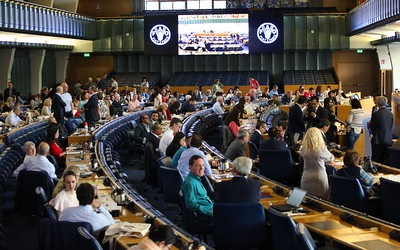
GSP Plenary Assembly
The GSP 12th Plenary Assembly will be held from 3 to 5 June 2024
Achievements
A decade of speaking up for soil health!
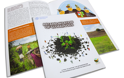
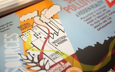
Brochure
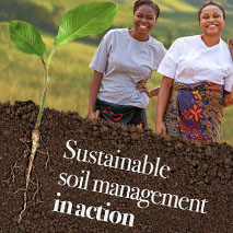
Sustainable Soil Management in Action
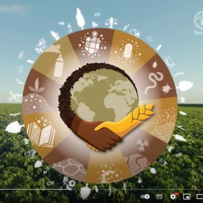
Action framework 2030
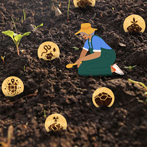
Addressing global challenges by improving soil health
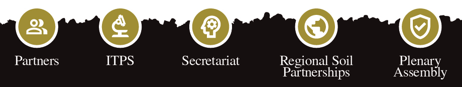
GSP Governance
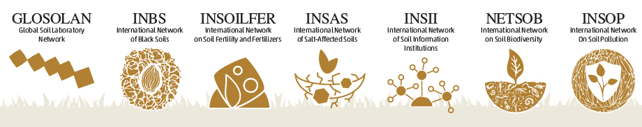
Technical networks
In action

World Soil Day 2023
Soil and Water: a source of life
SoiLEX
Soil legislation search engine
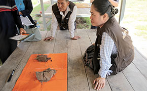
Soil Doctors
Farmer-to-farmer programme
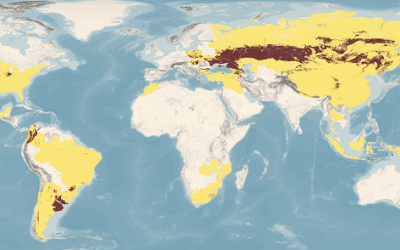
Global black soils distribution
Map released on 23 May 2022 at the tenth GSP Plenary Assembly
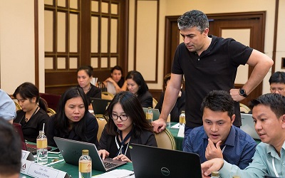
Capacity development
SOC sequestration potential and soil salinity trainings

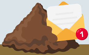
RECSOIL
Recarbonization of global soils: from farmers to the market
News and events
Upcoming events
25 Sep 2024 - 28 Sep 2024,
03 Oct 2024,

Multimedia
How can you support?

Become a GSP partner!

Contact the GSP-Secretariat

Subscribe to the newsletter!