 Sudan
Sudan
Latest news related to Sudan

Introductory WaPOR training in Sudan and stakeholders meeting
15/09/2022

WaPOR 2 inception workshop in Sudan
11/09/2021

Webinar "Remote sensing for water productivity: WaPOR applications and data quality in Gezira irrigation system, Sudan", 1 June 2021, 14:00-15:30 CEST
20/05/2021
Resources and links
About Sudan
The Republic of Sudan is a country in northeast Africa. With a population of 45.70 million people (as of 2022) and an area of 1,886,068 square kilometres, it is the third largest country in Africa by area. Sudan has 210 million hectares of arable land, of which only 25% is used. According to the World Bank, agriculture generates 35-40% of GDP and employs 70-80% of the rural labour force.
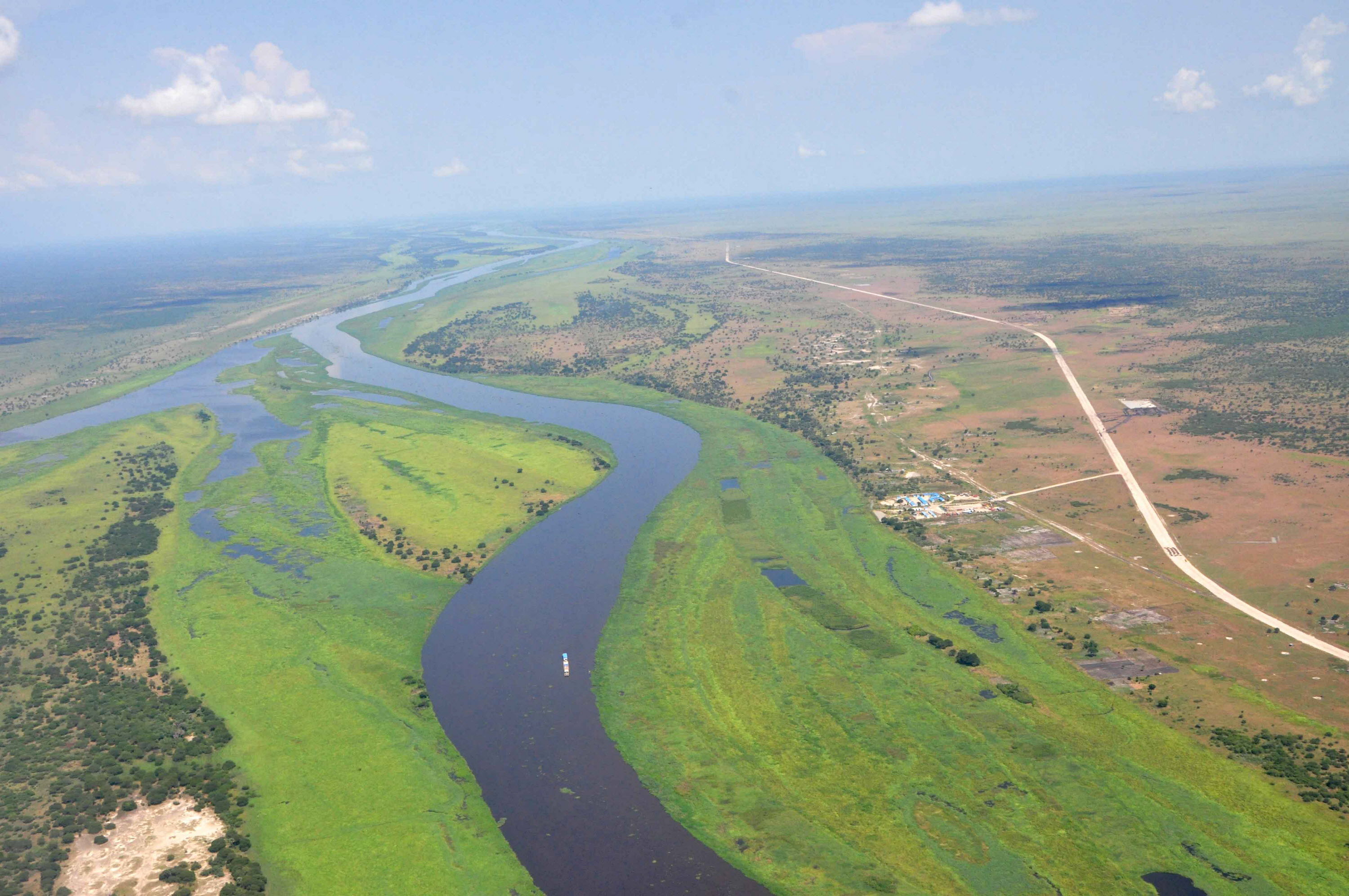
Sudan is half desert, and much of the population suffers from a lack of clean drinking water as well as a reliable source of water for agriculture. With the Nile in the east of the country, parts of Sudan do have considerable water resources, but people in the west rely on wadis, seasonal wells, which often dry up.
Low soil and water productivity is one of the biggest challenges due to erratic climatic conditions, degraded soils, inadequate and poor technologies and lack of knowledge. Improving irrigation and agriculture, including crop production, livestock, fisheries and forestry, is therefore crucial for poverty reduction.
Project milestones:June 2021: start of WaPOR phase 2 project in Sudan.
9 September 2021: project inception workshop
13 - 14 September 2022: introduction training and stakeholder meeting
19 - 21 March 2023: WaPOR data validation training
Pilot areas:
The Gezira Scheme was selected as the pilot area for the project. The scheme is located in the triangular plains between the Blue Nile and the White Nile south of Khartoum, where the two rivers meet. It extends southwards near the towns of Sennar on the Blue Nile and Kosti on the White Nile, about 400 kilometres from Khartoum. The Gezira system is currently one of the largest irrigation systems in the world under a single management. It covers an area of about 2.2 million feddans (about 900,000 hectares) with about 130,000 tenants.
WaPOR partnerships in Sudan

© FAO/Raphy Favre
