Geospatial activities in FAO
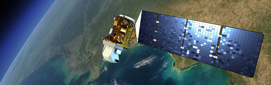
Geospatial technology plays a fundamental supporting role in the quest for food security by identifying and monitoring natural resource use and propose adequate information for policy relevant solutions. Through remote sensing, we define:
- standards and indicators for the assessment and regular monitoring, qualitative and quantitative, of natural resources;
- methodologies and tools that support governments and institutions in the study and assessment of innovative and effective plans for production, management, safeguarding and building resilience of natural resources;
- develop serious games that utilize real data and information to support relevant stakeholders in making evidence-based decision-making throughout the project cycle.
Our work supports development plans, growth strategies and decision-making processes in countries, on issues such as:


